

Zimmerman Barnes, Myra: Le Vieux Carré de la Nouvelle Orléans.


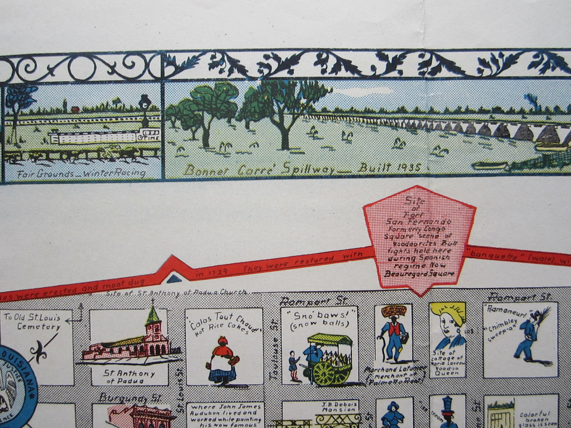
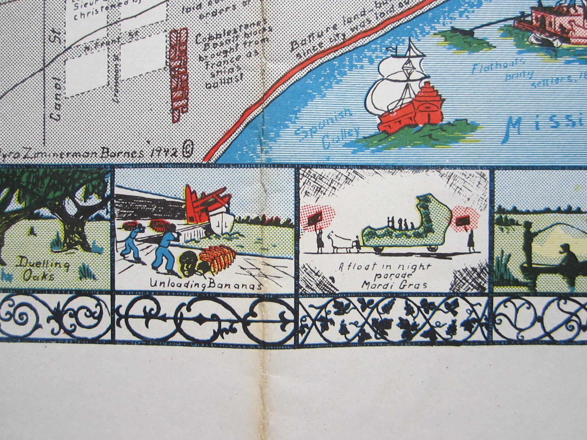
USA – Louisiana – New Orleans – Pictorial map – Folding map
£500.00
Description
Rare Pictorial map of New Orleans.
Zimmerman Barnes, Myra: Le Vieux Carré de la Nouvelle Orléans.
1942
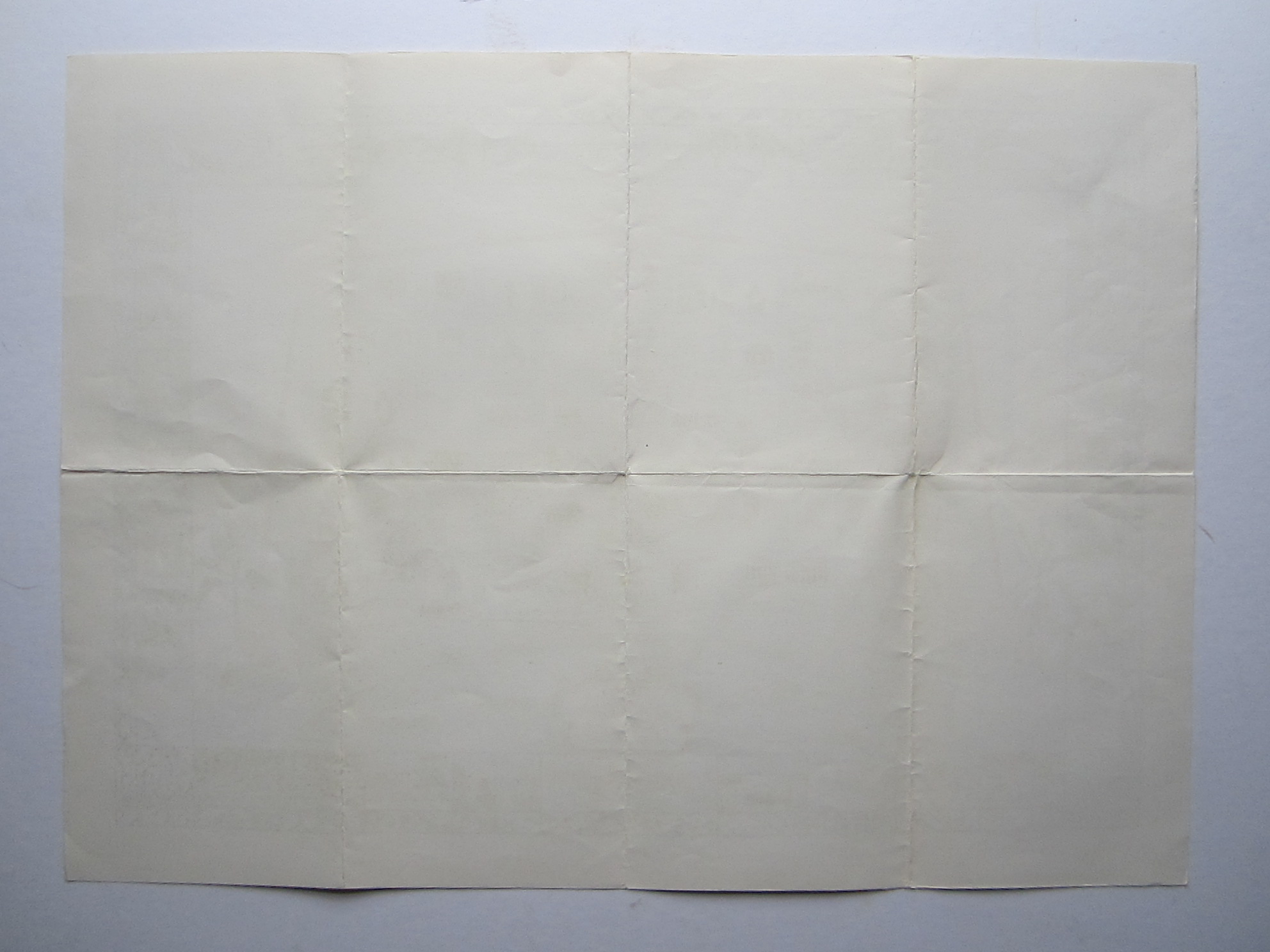
colour printed map; overall 40 x 55 cm. folds as issued; some slight discolouration; o/w exc. cond.
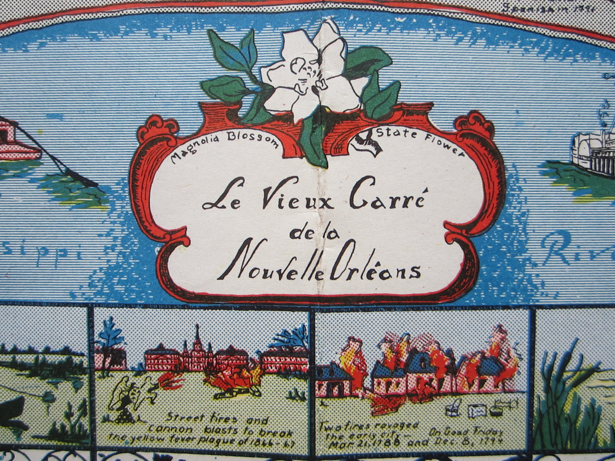
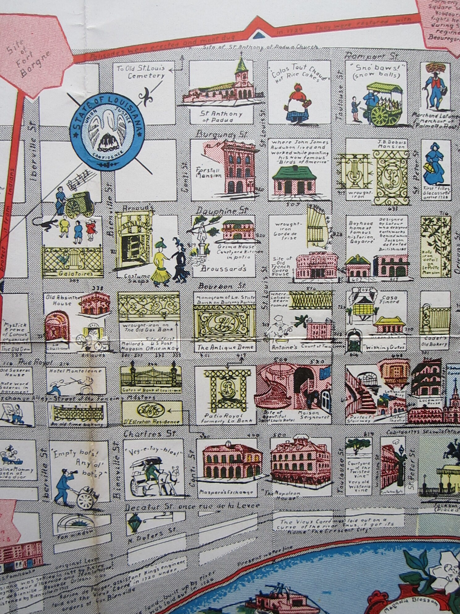
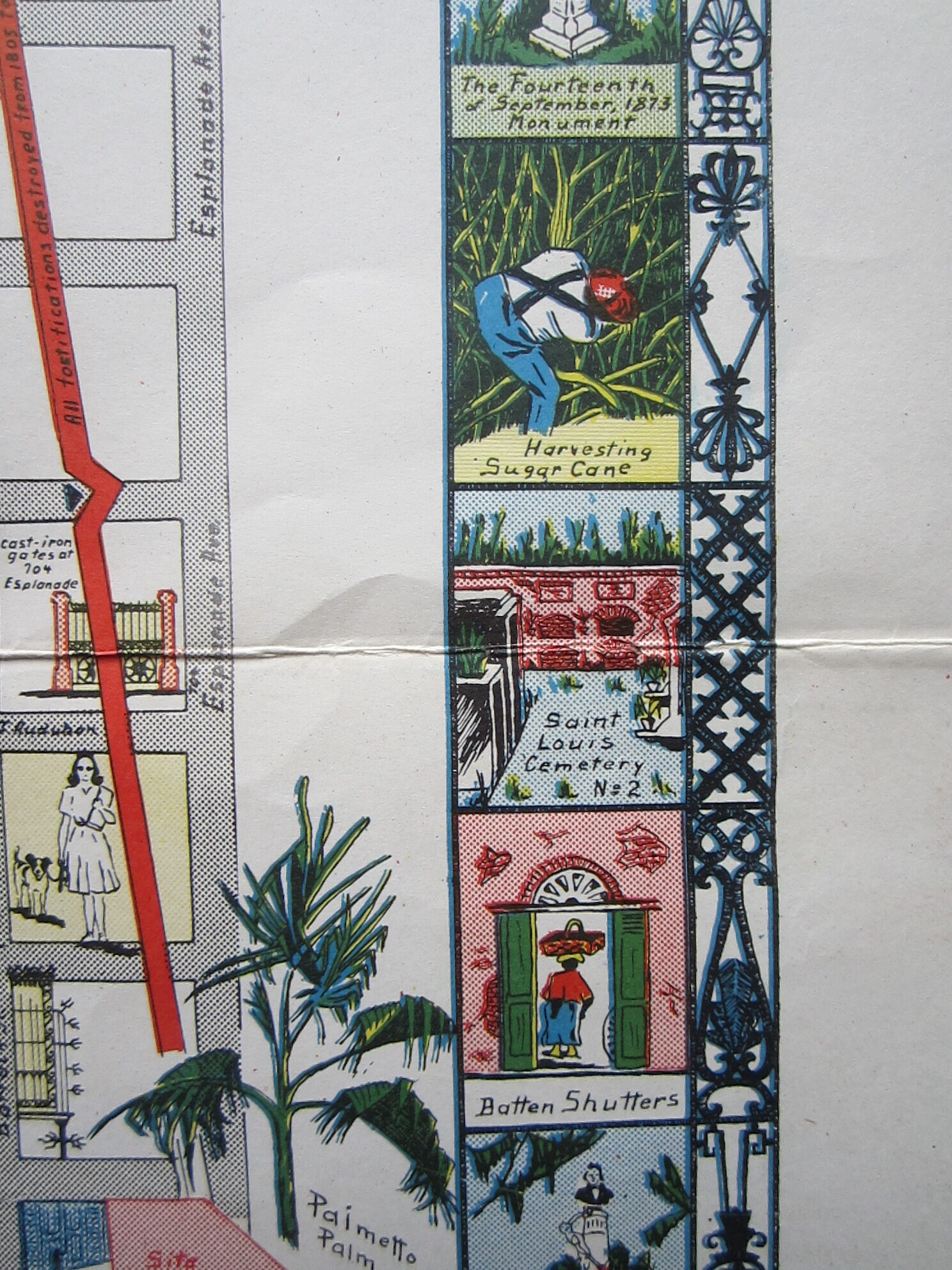
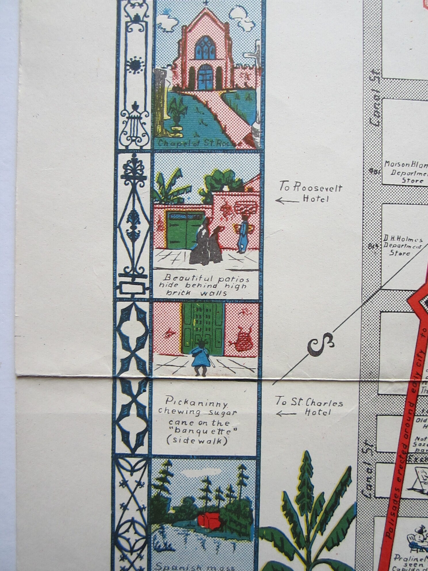
A very charming and decorative map of old New Orleans by Myra Zimmerman Barnes, published by Stanley Clisby Arthur in ‘Old New Orleans’, 1957. The map is surrounded by small vignettes showing important sites and sights. It covers the area from Rampart Street to the Mississippi River, and Canal Street to Esplanade Avenue. A cartouche with the title shows a magnolia, the State flower of Louisiana.
[ref: 4806] £500Related products
-
 Quickview
-

 Quickview
-

 Quickview
-

 Quickview

Reviews
There are no reviews yet.