

Blome, Richard (1635-1705) A Mapp of Kent with its Laths and Hundreds…
England – Kent
£225.00
Description
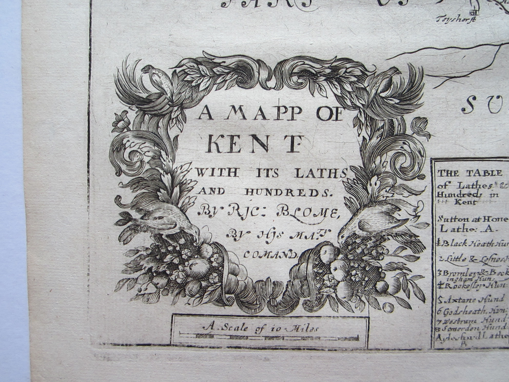
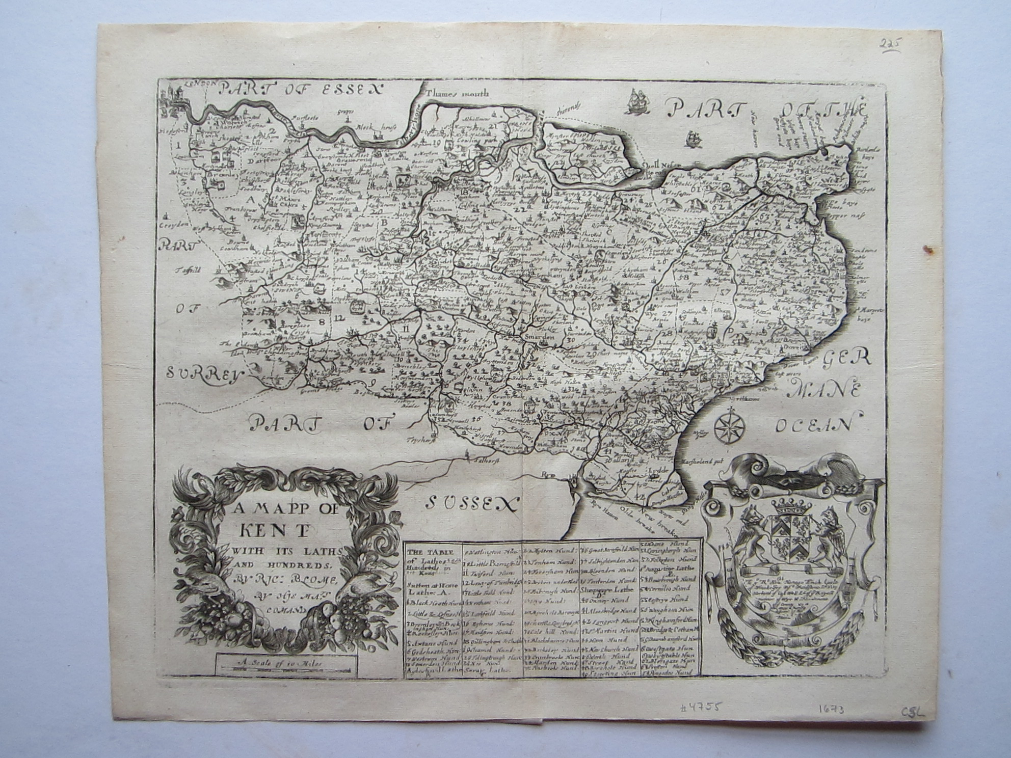
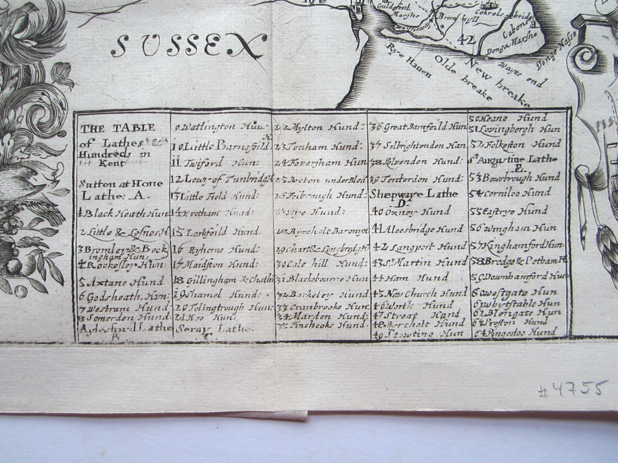
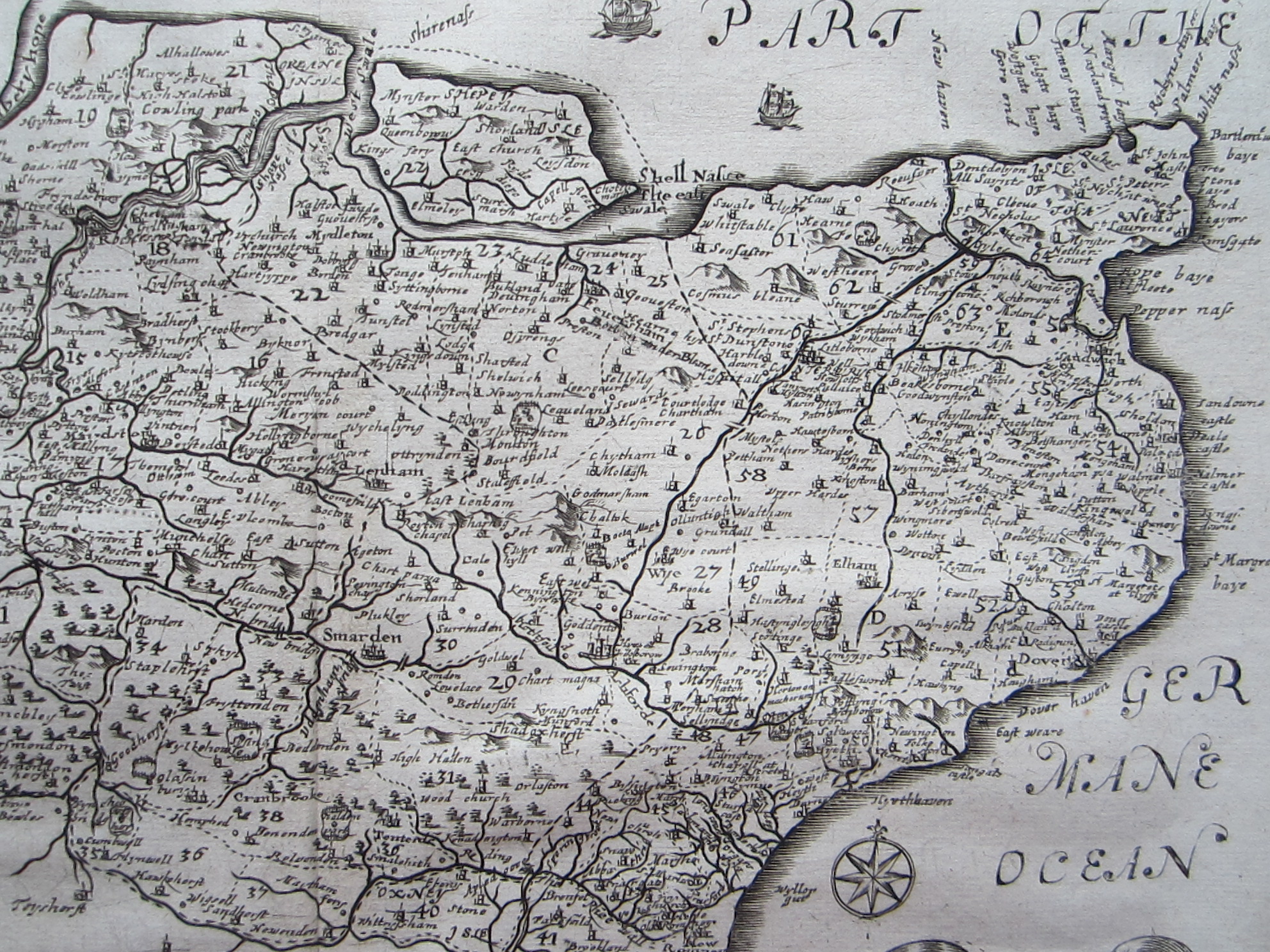
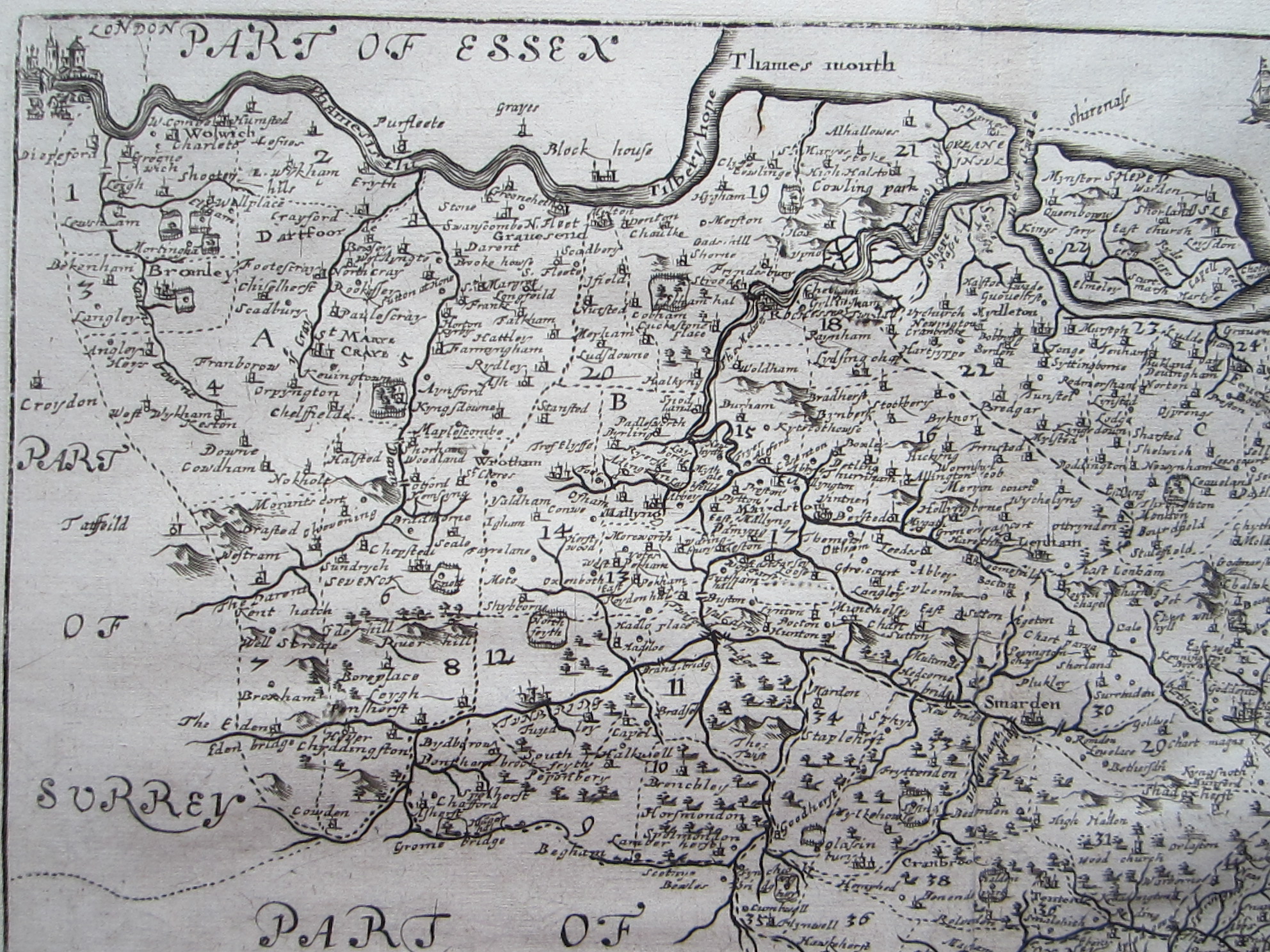
Blome, Richard (1635-1705) A Mapp of Kent with its Laths and Hundreds…
London 1673
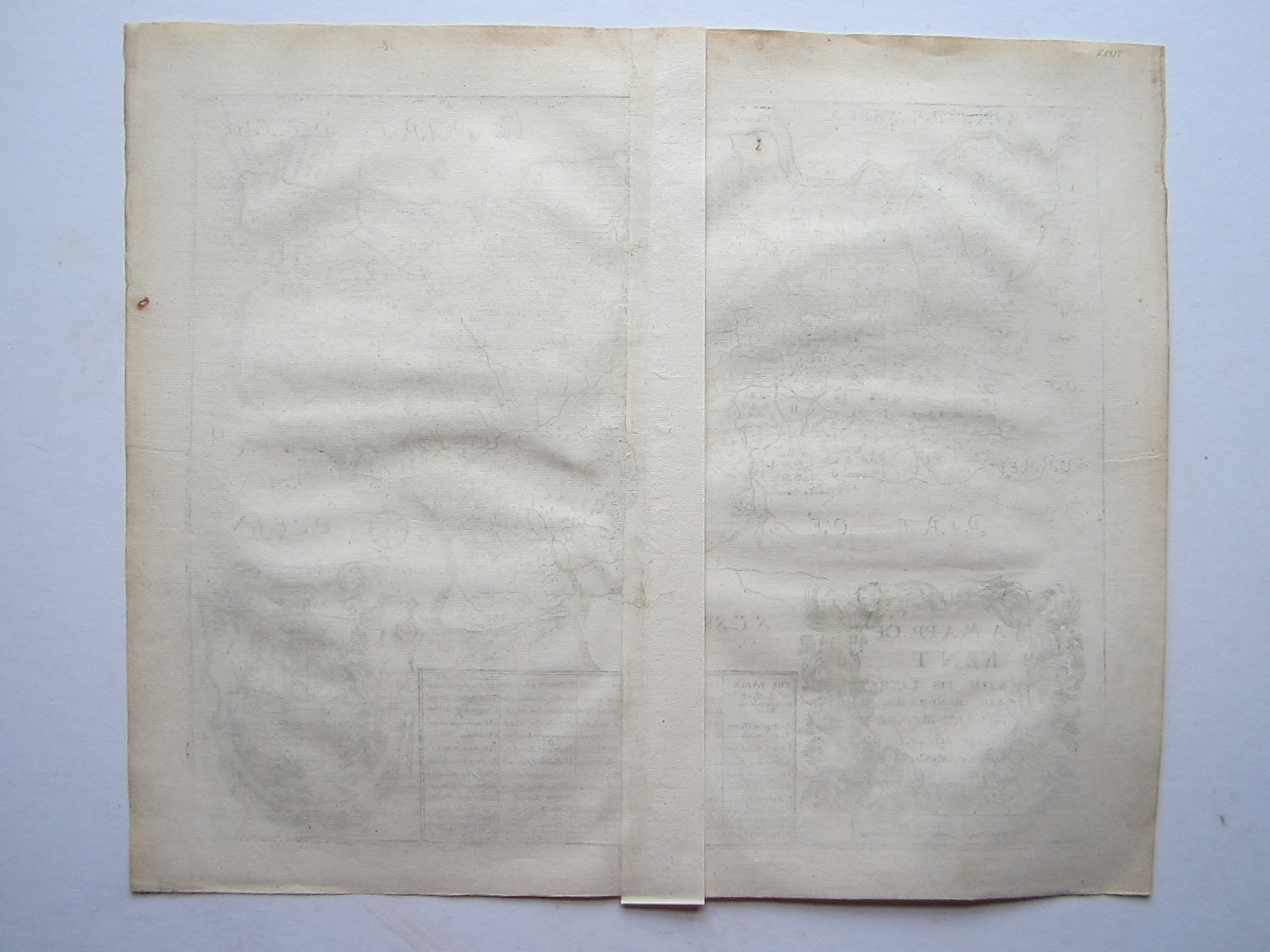
copper engraved map; overall 31 x 37 cm, plate 26 x 33 cm. fold as issued; light patina; 1 marginal rust spot; some light off-set; o/w vg cond.
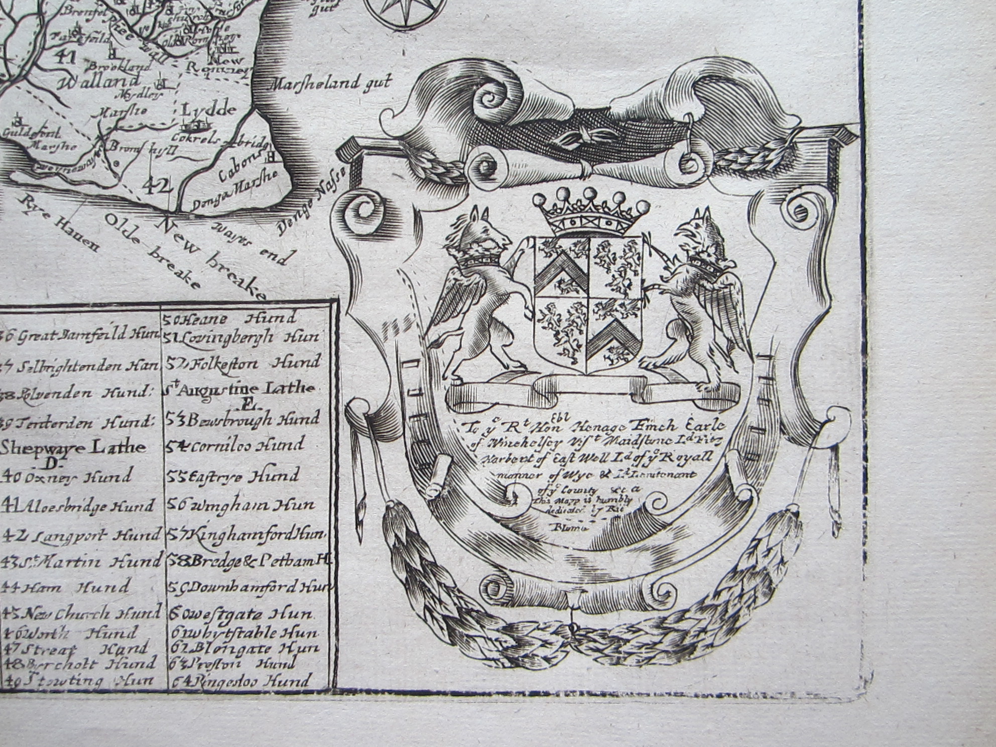
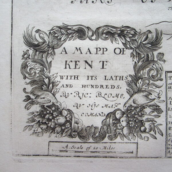
A very attractive map of Kent with a large decorative cartouche, coat-of arms and various sailing ships and a compass rose. From Blome’s “Britannia: or, a Geographical Description of the Kingdoms of England, Scotland, and Ireland with the Isles and Territories thereto belonging”. Based on Speed.
[ref: 4755] £225Related products
-

 Out of Stock
Quickview
Out of Stock
Quickview
-

 Quickview
-

 Out of Stock
Quickview
Out of Stock
Quickview
-

 Quickview
Reviews
There are no reviews yet.