

Antique Maps and Antique Topographical Prints of Great Britian. A selection of antique views and antique maps of Great Britian, United Kingdom, England, Wales, Scotland and Ireland.
-
 Quickview
£115.00
Quickview
£115.00Stow, John (1525-1605)/ Strype, John (1643–1737): Aldersgate Ward and St. Martins le Grand Liberty…. W.Innys and J.Richardson [et al] London 1754-55 copper engraved map; overall 42 x 25 cm; plate 31 x 18 cm. some foxing, staining and off-set; o/w vg cond. First published in 1720, Strype’s re-issue appears as […]
-
 Quickview
£115.00
Quickview
£115.00Stow, John (1525-1605)/ Strype, John (1643–1737):Aldgate Ward… W.Innys and J.Richardson [et al] London 1754-55 copper engraved map; overall 42 x 25 cm; plate 31 x 18 cm. some foxing, staining and off-set; o/w vg cond. First published in 1720, Strype’s re-issue appears as a much larger and expanded, 2 volume […]
-

 Quickview
-
 Quickview
£180.00
Quickview
£180.00Stow, John (1525-1605)/ Strype, John (1643–1737): Creplegate Ward with it’s Division into Parishes…. W.Innys and J.Richardson [et al] London 1754-55 copper engraved map; overall 42 x 45 cm, plate 30 x 36 cm. folds as issued; some foxing, staining and off-set; some discolouration in centrefold ; paper imperfections; o/w vg […]
-
 Quickview
£125.00
Quickview
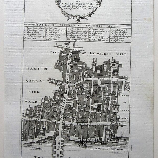
£125.00Stow, John (1525-1605)/ Strype, John (1643–1737): Billingsgate Ward and Bridge Ward Within… W.Innys and J.Richardson [et al] London 1754-55 copper engraved map; overall 42 x 25 cm; plate 31 x 18 cm. some foxing, staining and off-set; some printer’s ink scratches on plate as published; o/w vg cond. First published […]
-
 Quickview
£115.00
Quickview
£115.00Stow, John (1525-1605)/ Strype, John (1643–1737): Aldersgate Ward and St. Martins le Grand Liberty…. W.Innys and J.Richardson [et al] London 1754-55 copper engraved map; overall 42 x 25 cm; plate 31 x 18 cm. some foxing, staining and off-set; o/w vg cond. First published in 1720, Strype’s re-issue appears as […]
-
 Quickview
£180.00
Quickview
£180.00Stow, John (1525-1605)/ Strype, John (1643–1737): Breadstreet Ward and Cordwainer Ward… W.Innys and J.Richardson [et al] London 1754-55 copper engraved map; overall 42 x 25 cm; plate 31 x 18 cm. some foxing, staining and off-set; o/w vg cond. First published in 1720, Strype’s re-issue appears as a much larger […]
-

 Quickview
-
 Quickview
£350.00
Quickview
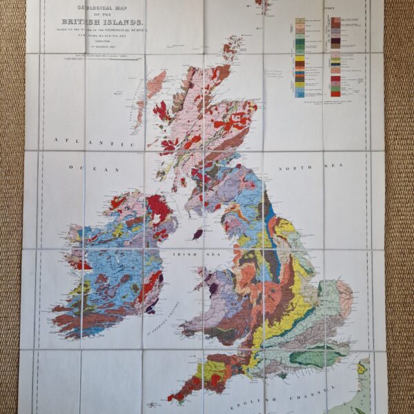
£350.00Teall,Sir Jethro Justinian Harris (1849 – 1924) Geological Map of the British Islands, based on the work of the Geological Survey
Ordnance Survey Office Southampton 1924 -

 Quickview
£650.00
Quickview
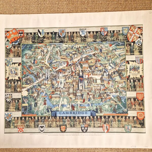
£650.00Lee, Kerry (1902-1988) Cambridge ” This immense & glorious work of fine intelligence…”
-
 Quickview
£350.00
Quickview
£350.00Stow, John (1525-1605)/ Strype, John (1643–1737): Cheape Ward with its Division into Parishes…. W.Innys and J.Richardson [et al] London 1754-55 copper engraved map; overall 42 x 45 cm, plate 30 x 36 cm. folds as issued; some foxing, staining and off-set; some discolouration in centrefold ; paper imperfections ; o/w […]
-

 Quickview
£180.00
Quickview
£180.00Stow, John (1525-1605)/ Strype, John (1643–1737): Chelsey Colledge W.Innys and J.Richardson [et al] London 1754-55 copper engraved print; overall 42 x 41 cm, plate 25 x 34 cm. fold as issued; some foxing, staining and off-set; paper imperfections; split to top centrefold, repaired; small marginal hole; o/w vg cond. First […]
-
 Quickview
£250.00
Quickview
£250.00Stow, John (1525-1605)/ Strype, John (1643–1737): Broad Street Ward…/ Cornhill Ward…. W.Innys and J.Richardson [et al] London 1754-55 copper engraved map; overall 42 x 45 cm, plate 30 x 36 cm. folds as issued; some foxing, staining and off-set; some discolouration in centrefold ; paper imperfections; o/w vg cond. First […]
-
 Quickview
-

 Quickview
-

 Quickview