

Philips: Philips’ Series of Comparative Wall Atlases – British Isles Geological


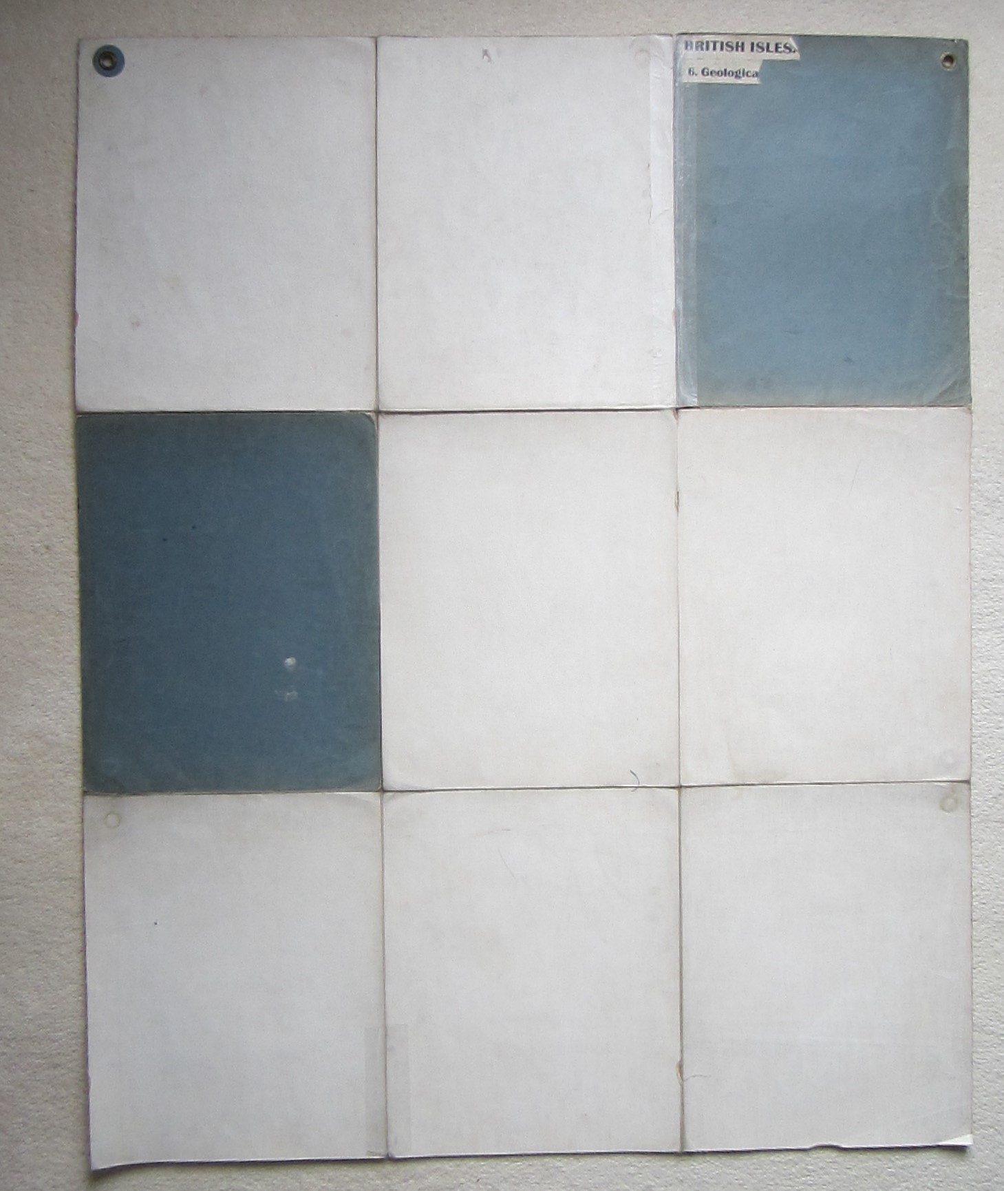
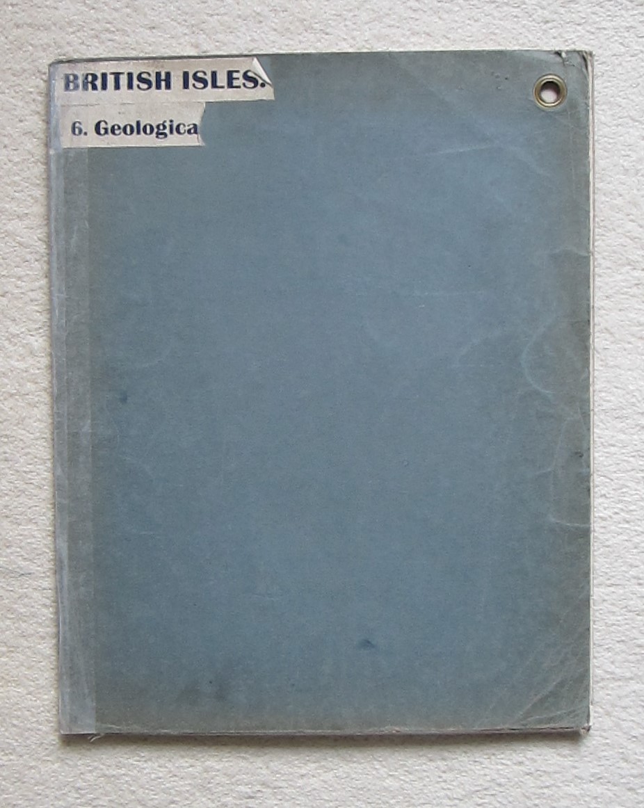
British Isles – Geological map – Folding map – Cartographic curiosity
£150.00
Description
George Philip & Son Ltd/ Denoyer-Geppert, London/ Chicago, c1950s
colour printed folding map; overall 110 x 89 cm, folds down to 37 x 30 cm, 9 segments on linen. some wear and tear; in places linen reinforced on verso; some discoluration and soiling; small hole within image; splits in crossfolds; bent corners; two ringsin top corners; o/w g cond.
A large wall map showing the geology of the British Isles. Likely being used in schools and for demonstrations.
[ref: 4302]Related products
-

 Quickview
-
 Quickview
-

 Quickview
-
 Quickview

Reviews
There are no reviews yet.