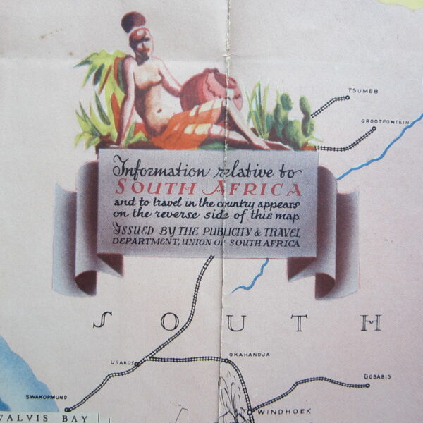
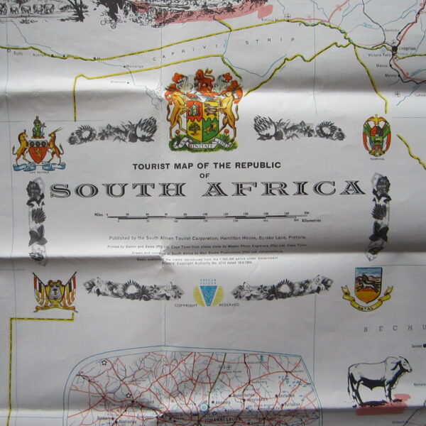
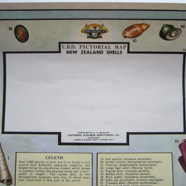
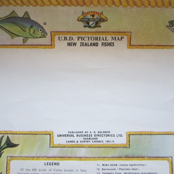
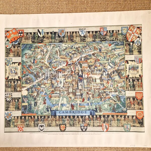
Pictorial maps are a category of maps that, in contrast to the regular sheet maps, depict a given area with emphasis on the artistic rather than technical style.
The cartography can be a sophisticated 3-D perspective landscape or a simple map enhanced with illustrations of buildings, people, plants and animals. Drawn by specialized artists and illustrators, pictorial maps are a rich, centuries-old tradition and a diverse art form that ranges from cartoon maps on restaurant placemats to treasured art prints in museums.
Pictorial maps usually show an area as if viewed from above at an oblique angle. They are not generally drawn to scale in order to show street patterns, individual buildings, and major landscape features in perspective. While regular maps focus on the accurate rendition of distances, pictorial maps enhance landmarks. With an emphasis on objects and style, these maps cover an artistic spectrum from childlike caricature to spectacular landscape graphic with the better ones being attractive, informative and highly accurate.