

Survey
-
 Quickview
£115.00
Quickview
£115.00Stow, John (1525-1605)/ Strype, John (1643–1737): Aldersgate Ward and St. Martins le Grand Liberty…. W.Innys and J.Richardson [et al] London 1754-55 copper engraved map; overall 42 x 25 cm; plate 31 x 18 cm. some foxing, staining and off-set; o/w vg cond. First published in 1720, Strype’s re-issue appears as […]
-
 Quickview
£115.00
Quickview
£115.00Stow, John (1525-1605)/ Strype, John (1643–1737):Aldgate Ward… W.Innys and J.Richardson [et al] London 1754-55 copper engraved map; overall 42 x 25 cm; plate 31 x 18 cm. some foxing, staining and off-set; o/w vg cond. First published in 1720, Strype’s re-issue appears as a much larger and expanded, 2 volume […]
-
 Quickview
£180.00
Quickview
£180.00Stow, John (1525-1605)/ Strype, John (1643–1737): Creplegate Ward with it’s Division into Parishes…. W.Innys and J.Richardson [et al] London 1754-55 copper engraved map; overall 42 x 45 cm, plate 30 x 36 cm. folds as issued; some foxing, staining and off-set; some discolouration in centrefold ; paper imperfections; o/w vg […]
-
 Quickview
£125.00
Quickview
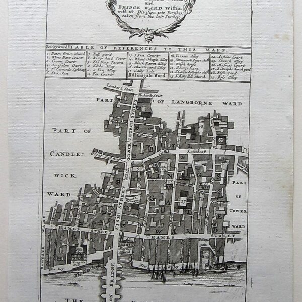
£125.00Stow, John (1525-1605)/ Strype, John (1643–1737): Billingsgate Ward and Bridge Ward Within… W.Innys and J.Richardson [et al] London 1754-55 copper engraved map; overall 42 x 25 cm; plate 31 x 18 cm. some foxing, staining and off-set; some printer’s ink scratches on plate as published; o/w vg cond. First published […]
-
 Quickview
£115.00
Quickview
£115.00Stow, John (1525-1605)/ Strype, John (1643–1737): Aldersgate Ward and St. Martins le Grand Liberty…. W.Innys and J.Richardson [et al] London 1754-55 copper engraved map; overall 42 x 25 cm; plate 31 x 18 cm. some foxing, staining and off-set; o/w vg cond. First published in 1720, Strype’s re-issue appears as […]
-
 Quickview
£180.00
Quickview
£180.00Stow, John (1525-1605)/ Strype, John (1643–1737): Breadstreet Ward and Cordwainer Ward… W.Innys and J.Richardson [et al] London 1754-55 copper engraved map; overall 42 x 25 cm; plate 31 x 18 cm. some foxing, staining and off-set; o/w vg cond. First published in 1720, Strype’s re-issue appears as a much larger […]
-
 Quickview
£350.00
Quickview
£350.00Stow, John (1525-1605)/ Strype, John (1643–1737): Cheape Ward with its Division into Parishes…. W.Innys and J.Richardson [et al] London 1754-55 copper engraved map; overall 42 x 45 cm, plate 30 x 36 cm. folds as issued; some foxing, staining and off-set; some discolouration in centrefold ; paper imperfections ; o/w […]
-

 Quickview
£180.00
Quickview
£180.00Stow, John (1525-1605)/ Strype, John (1643–1737): Chelsey Colledge W.Innys and J.Richardson [et al] London 1754-55 copper engraved print; overall 42 x 41 cm, plate 25 x 34 cm. fold as issued; some foxing, staining and off-set; paper imperfections; split to top centrefold, repaired; small marginal hole; o/w vg cond. First […]
-
 Quickview
£250.00
Quickview
£250.00Stow, John (1525-1605)/ Strype, John (1643–1737): Broad Street Ward…/ Cornhill Ward…. W.Innys and J.Richardson [et al] London 1754-55 copper engraved map; overall 42 x 45 cm, plate 30 x 36 cm. folds as issued; some foxing, staining and off-set; some discolouration in centrefold ; paper imperfections; o/w vg cond. First […]
-
 Quickview
£90.00
Quickview
£90.00Stow, John (1525-1605)/ Strype, John (1643–1737): Cow Cross Being St. Sepulcher’s Parish Within and the Charterhouse… W.Innys and J.Richardson [et al] London 1754-55 copper engraved map; overall 42 x 25 cm; plate 31 x 18 cm.. some foxing, staining and off-set; o/w vg cond. First published in 1720, Strype’s re-issue […]
-
 Quickview
£125.00
Quickview
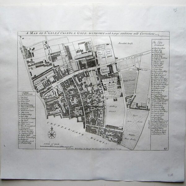
£125.00Stow, John (1525-1605)/ Strype, John (1643–1737): A Map of St. Giles Cripple Gate without with large additions and corrections. W.Innys and J.Richardson [et al] London 1754-55 copper engraved map; overall 42 x 45 cm, plate 30 x 36 cm. folds as issued; some foxing, staining and off-set; some discolouration in […]
-
 Quickview
£180.00
Quickview
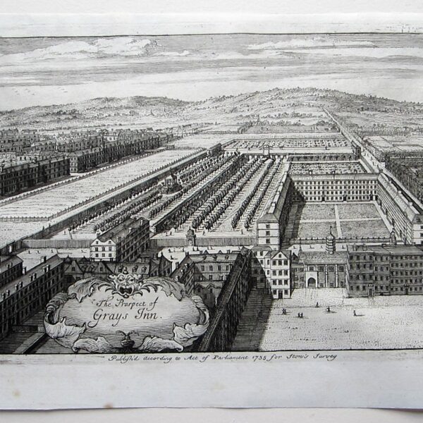
£180.00Stow, John (1525-1605)/ Strype, John (1643–1737): The Prospect of Grays Inn. W.Innys and J.Richardson [et al] London 1754-55 copper engraved print; overall 25 x 41 cm, plate 21 x 34 cm. some foxing, staining and off-set; paper imperfections; o/w vg cond. First published in 1720, Strype’s re-issue appears as a […]
-

 Quickview
£180.00
Quickview
£180.00Stow, John (1525-1605)/ Strype, John (1643–1737): The Hospitall at Greenwich W.Innys and J.Richardson [et al] London 1754-55 copper engraved print; overall 42 x 41 cm, plate 25 x 34 cm. fold as issued; some foxing, staining and off-set; paper imperfections; o/w vg cond. First published in 1720, Strype’s re-issue appears […]
-
 Quickview
£250.00
Quickview
£250.00Stow, John (1525-1605)/ Strype, John (1643–1737): Farrington Ward without , with its Divisions…. W.Innys and J.Richardson [et al] London 1754-55 copper engraved map; overall 42 x 45 cm, plate 30 x 36 cm. folds as issued; some foxing, staining and off-set; some discolouration in centrefold ; paper imperfections ; o/w […]
-
 Quickview
£250.00
Quickview
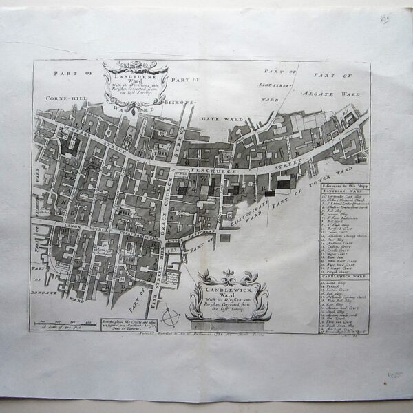
£250.00Stow, John (1525-1605)/ Strype, John (1643–1737): Langborne Ward…/ Candlewick Ward… W.Innys and J.Richardson [et al] London 1754-55 copper engraved map; overall 42 x 45 cm, plate 30 x 36 cm. folds as issued; some foxing, staining and off-set; some discolouration in centrefold ; paper imperfections ; o/w vg cond. First […]
-
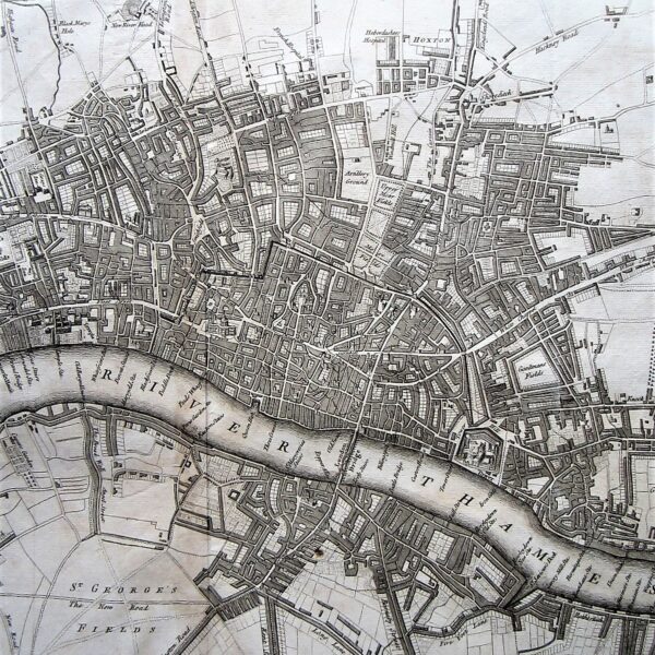
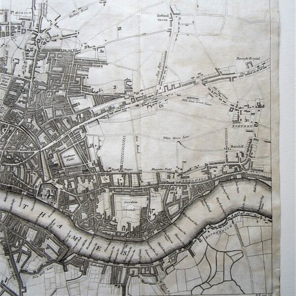 Quickview
£1,200.00
Quickview
£1,200.00Stow, John (1525-1605)/ Strype, John (1643–1737): A New and Exact Plan of the Cities of London and Westminster, and Borough of Southwark, with the additional Buildings to the Year 1756. W.Innys and J.Richardson [et al] London 1756 copper engraved map; overall 42 x 73 cm, plate 35 x 73 cm. […]