

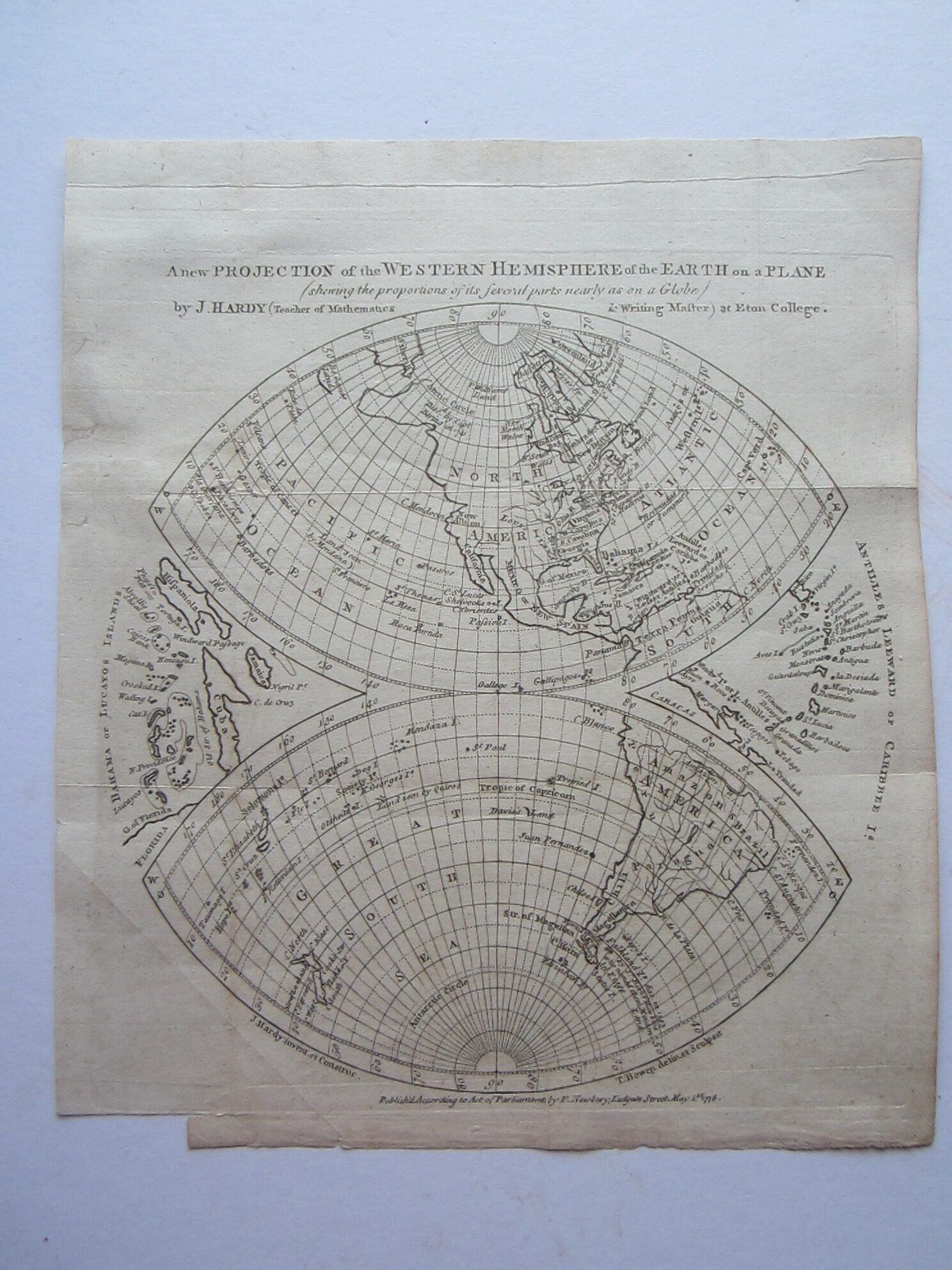
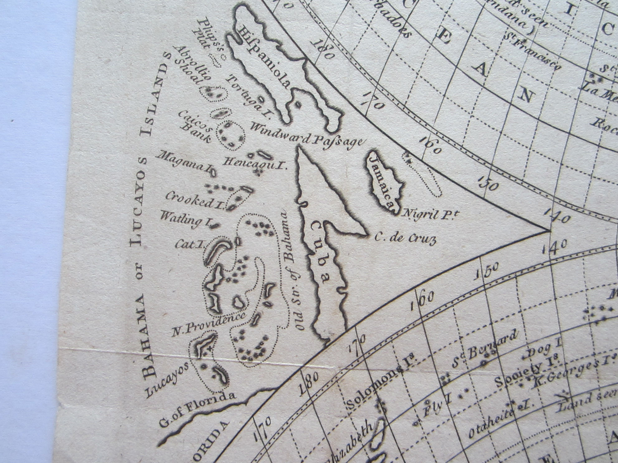
Bowen, Thomas A new projection of the Western Hemisphere of the Earth on a plane : (showing the proportions of its several parts nearly as on a globe). by J. Hardy (Teacher of Mathematics & Writing Master) at Eton College.

America – Western Hemisphere – Davis’s Island – Curiosity
£120.00
Description
A Pirate’s Map!
Bowen, Thomas A new projection of the Western Hemisphere of the Earth on a plane : (showing the proportions of its several parts nearly as on a globe). by J. Hardy (Teacher of Mathematics & Writing Master) at Eton College.
F. Newbery London 1776
Copper engraved map; overall 28 x 24 cm, plate 24 x 22,5 cm. folds as issued; some splits in folds, some into image; some stitch holes; paper cracked alongside top platemark; some soft creases; paper loss lower left margin as issued; o/w g cond.
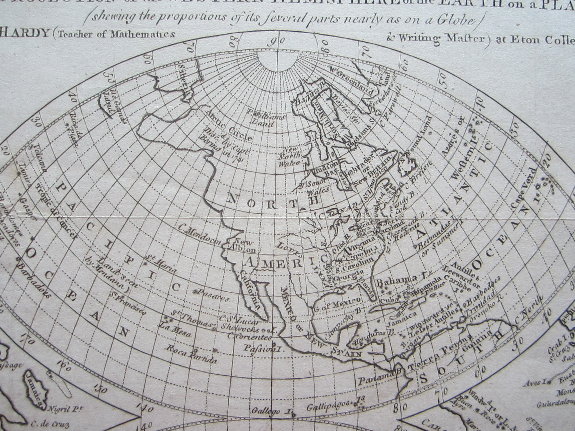
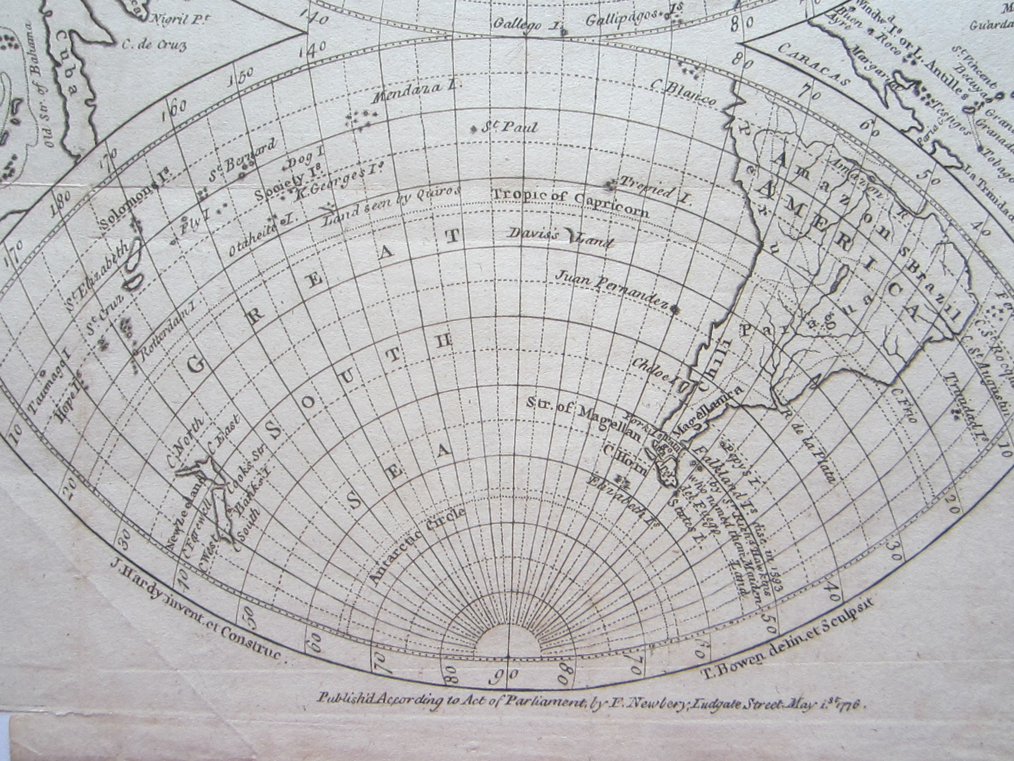
A very unusual projection of the Western Hemisphere with the American continent and the West Indies on either side.
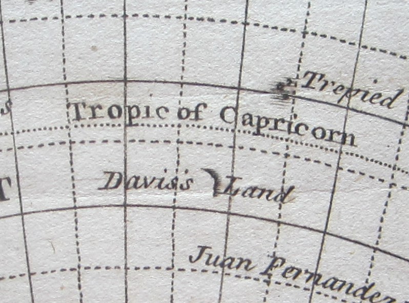
Amusing fact about this map is that it shows Davis’s Land near the coast of South America: it’s named after the pirate Edward Davis who is supposed to have discovered this island in 1687 but it was never found again. Captain David was an English buccaneer or gentleman pirate whose exploits were recorded by the writer William Dampier and allegedly anchored his ship, the Batchelor’s Delight, in ‘Chatham Bay [St.Vincent & Granadines] and supposedly left behind several chests containing ingots, pieces-of-eight and £300,000 in silver bar and plate taken from settlements in Peru and Chile.’ I guess X marks the spot!
[ref: 4588] £120Related products
-

 Quickview
-

 Quickview
-

 Quickview
-

 Quickview

Reviews
There are no reviews yet.