

Tunison, H.C. Western Hemisphere
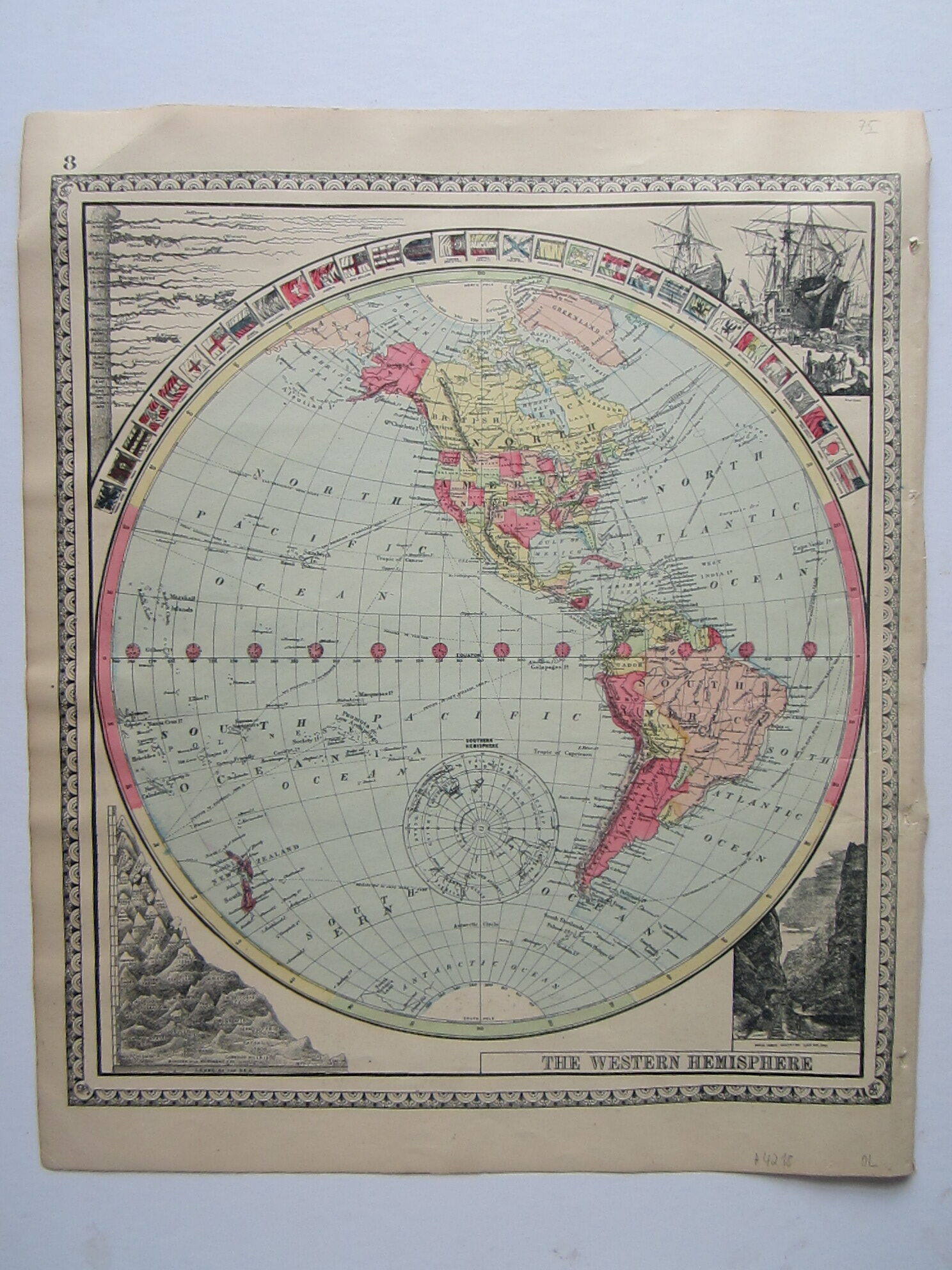




America – Western Hemisphere
£75.00
Description
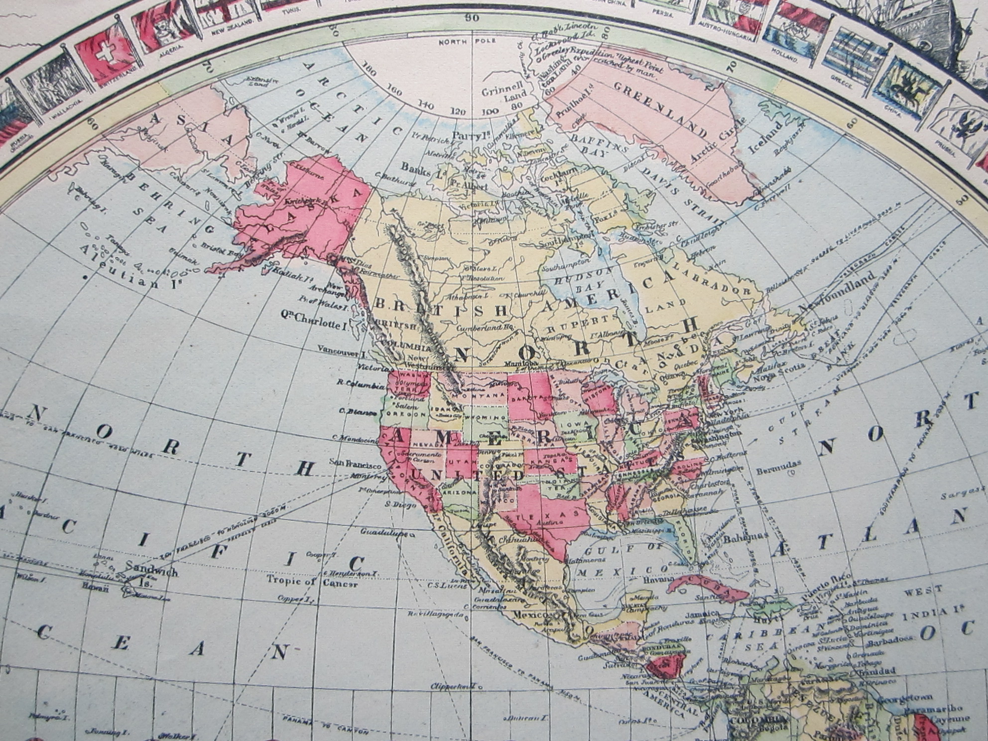
H. C. Tunison Jacksonville, Illinois 1888
colour printed map; overall 31 x 28 cm. stitch holes with some archival tape to verso; some minor marginal tears; top left corner bend with archival tape to verso; o/w vg cond.
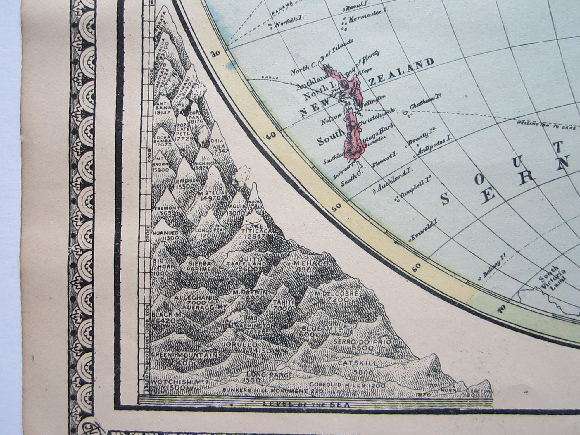
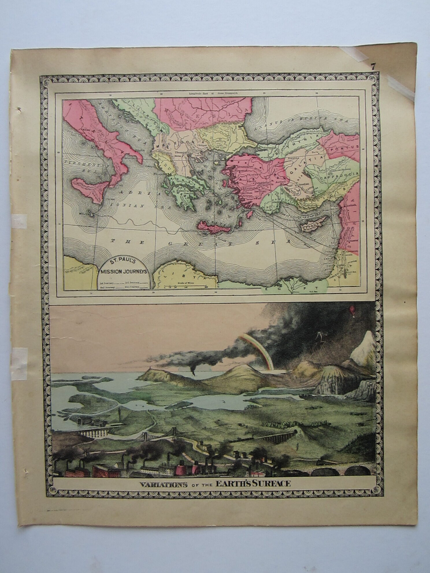
Very decorative map of the Western hemisphere with illustrations in all four corners: comparative lengths of rivers and heights of mountains, a wharf scene and the Royal Gorge, Colorado, with various international flags on the top of the hemisphere. Countries and the American States are coloured. – On the verso: a map of St.Paul’s Mission Journeys and Variations of the Earth’s Surface.
From Tunison’s Peerless Universal Atlas of the World.
[ref: 4218] £75Related products
-
 Out of Stock
Quickview
Out of Stock
Quickview
-
 Out of Stock
Quickview
Out of Stock
Quickview
-

 Quickview
-

 Quickview

Reviews
There are no reviews yet.