

Cartographic Publishing House Map of the People’s Republic of China





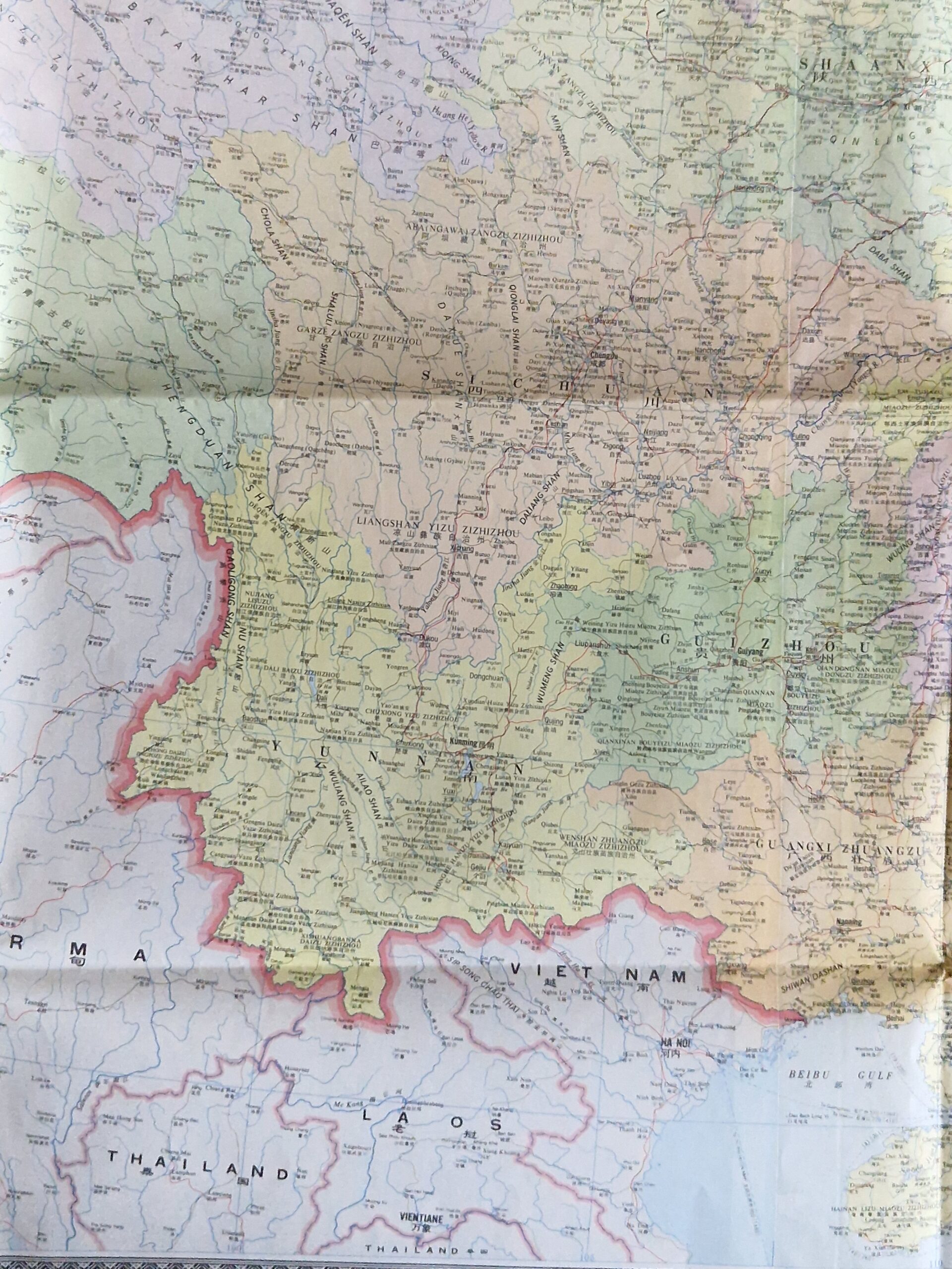

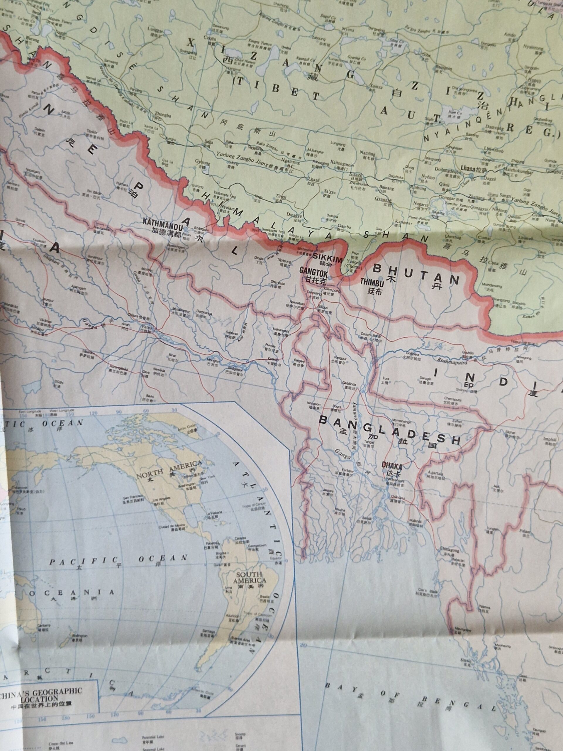
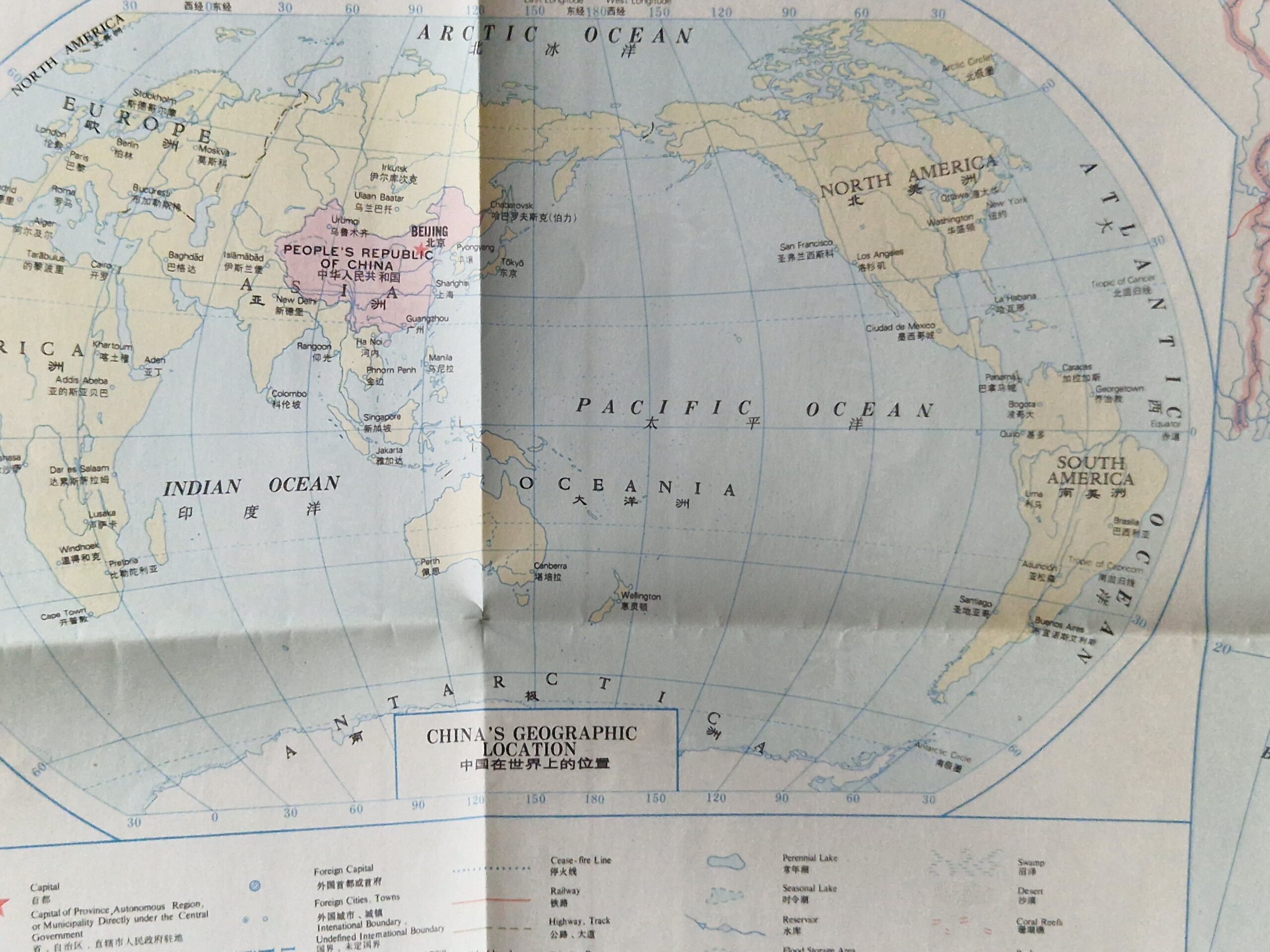
Asia – China – folding map – vintage
£250.00
Description
Cartographic Publishing House Map of the People’s Republic of China
Cartographic Publishing House Beijing 1984
colour printed map; overall 115 x 162 cm. folds as issued; some wear and tear around edges; some minor marginal tears; some tears in crossfolds; o/w vg cond. paper sleeve cover, 38 x 26 cm; some wear and tear; some paper splits and tears; o/w g cond.
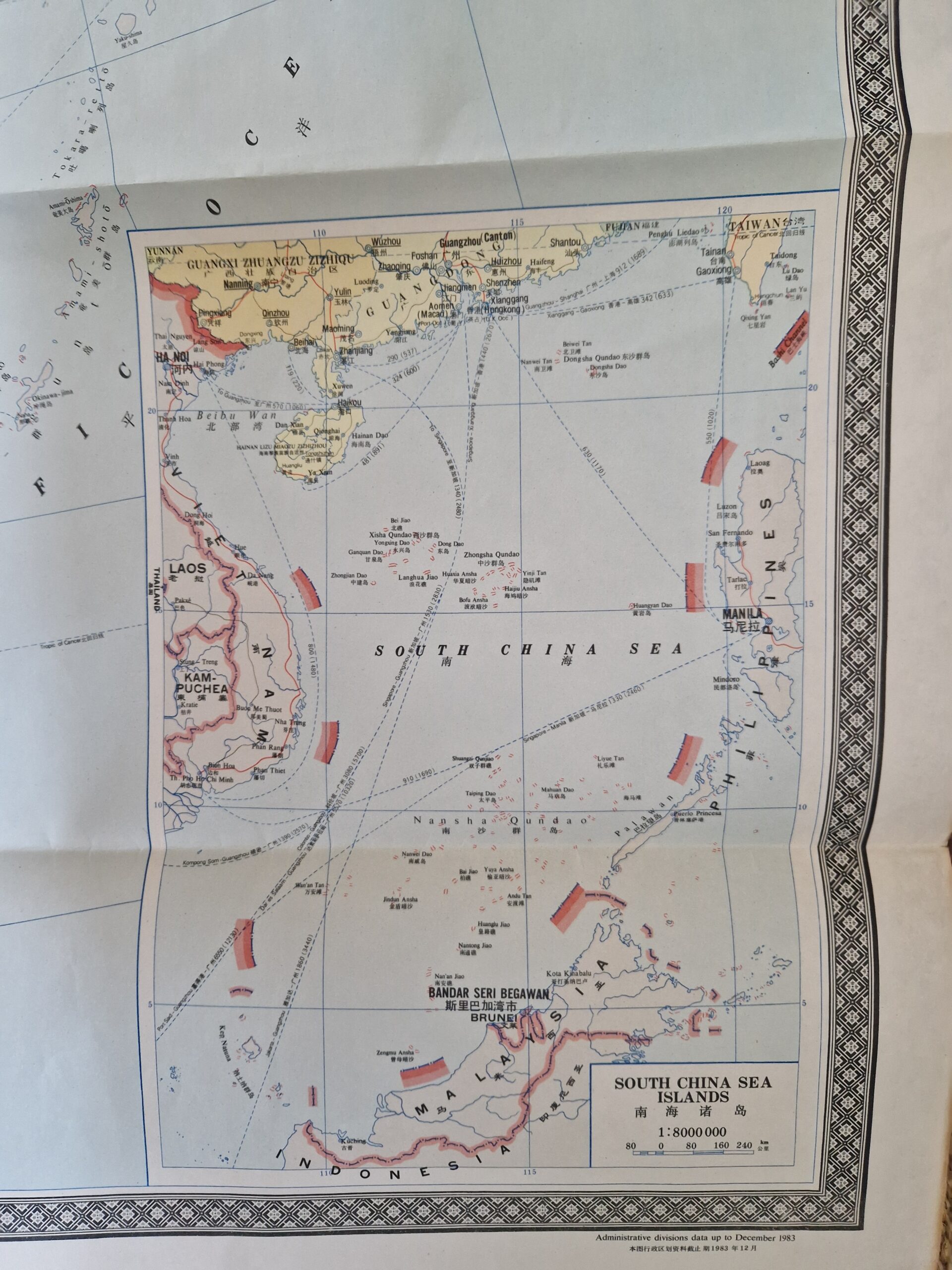
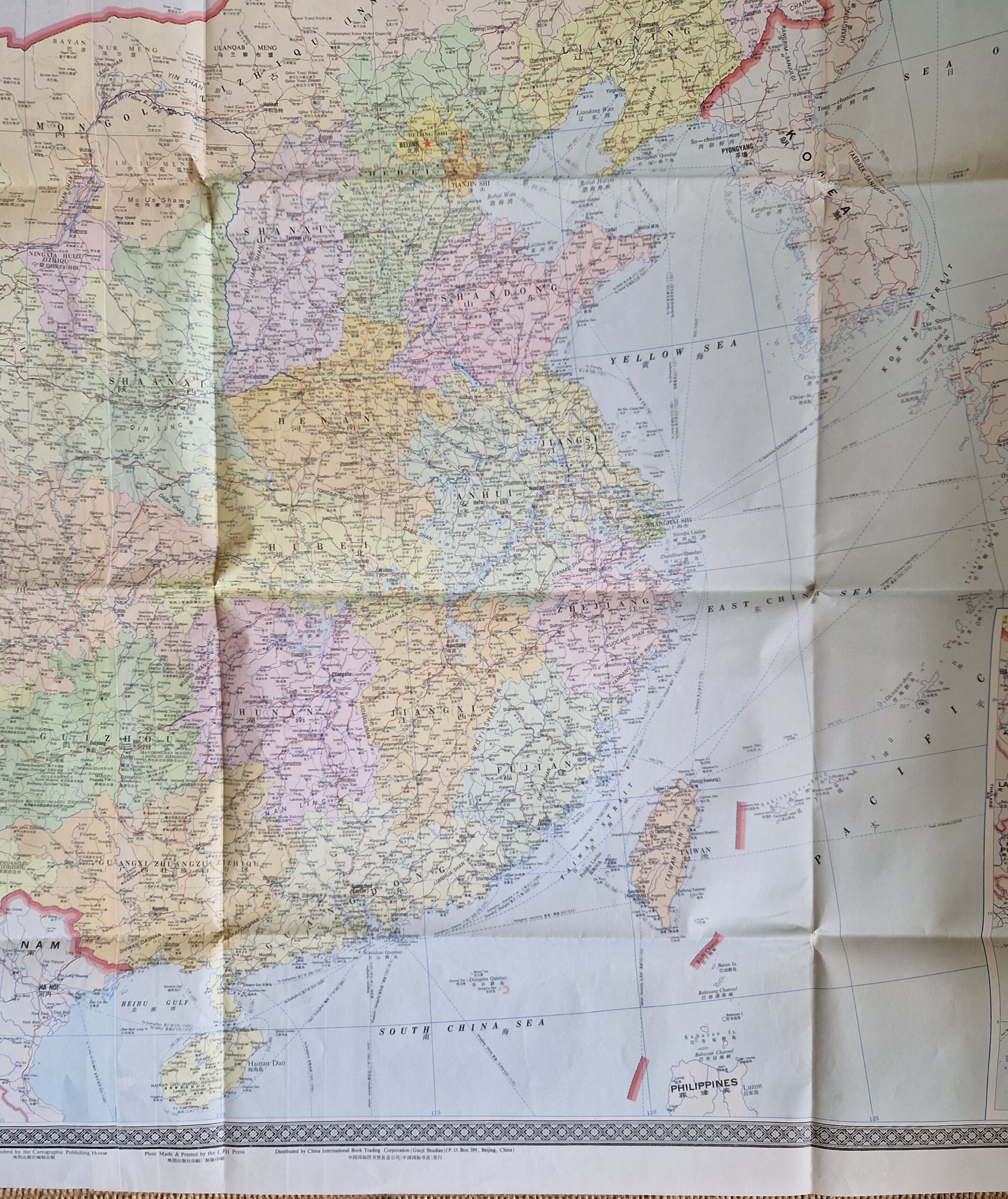
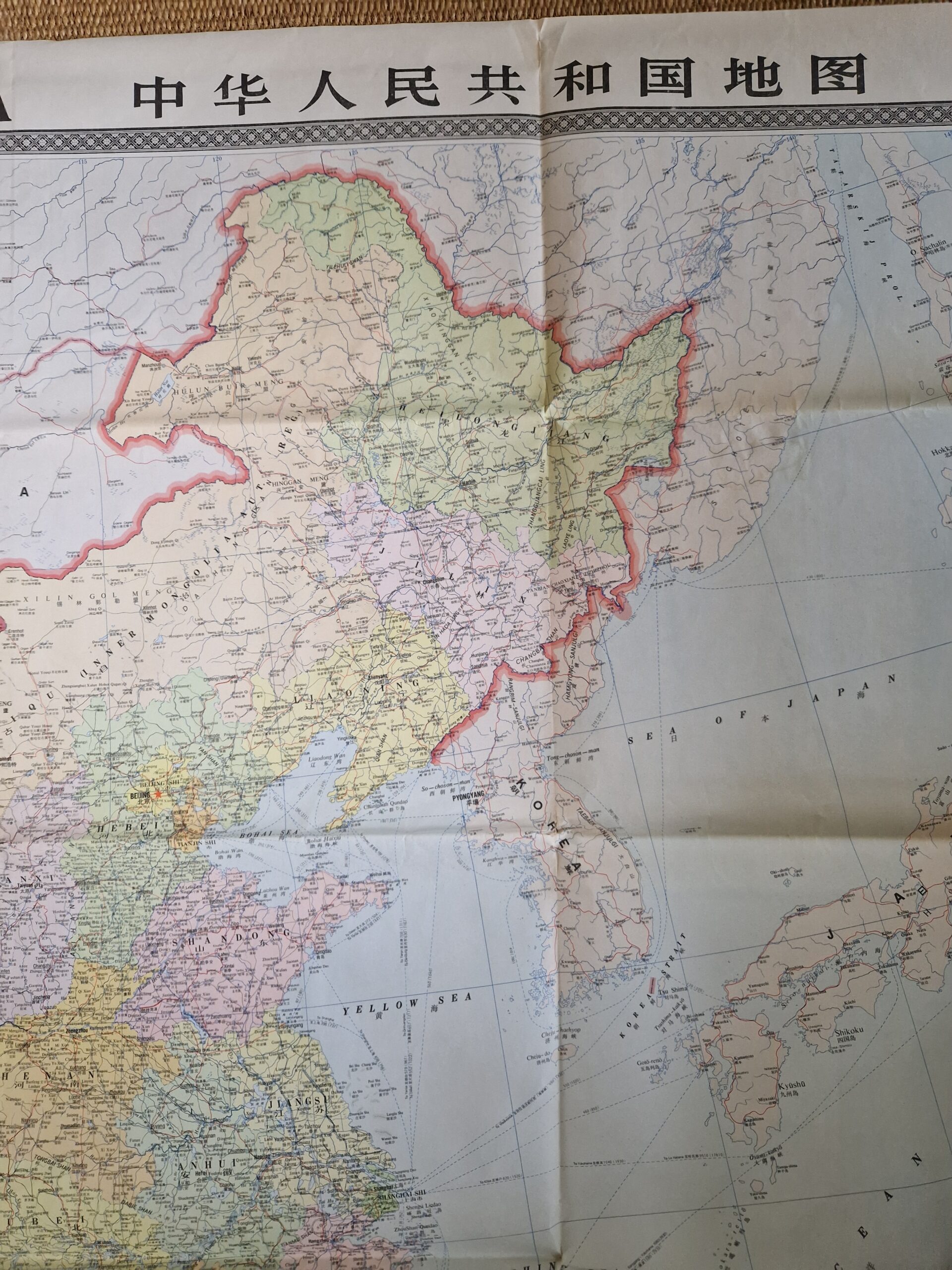
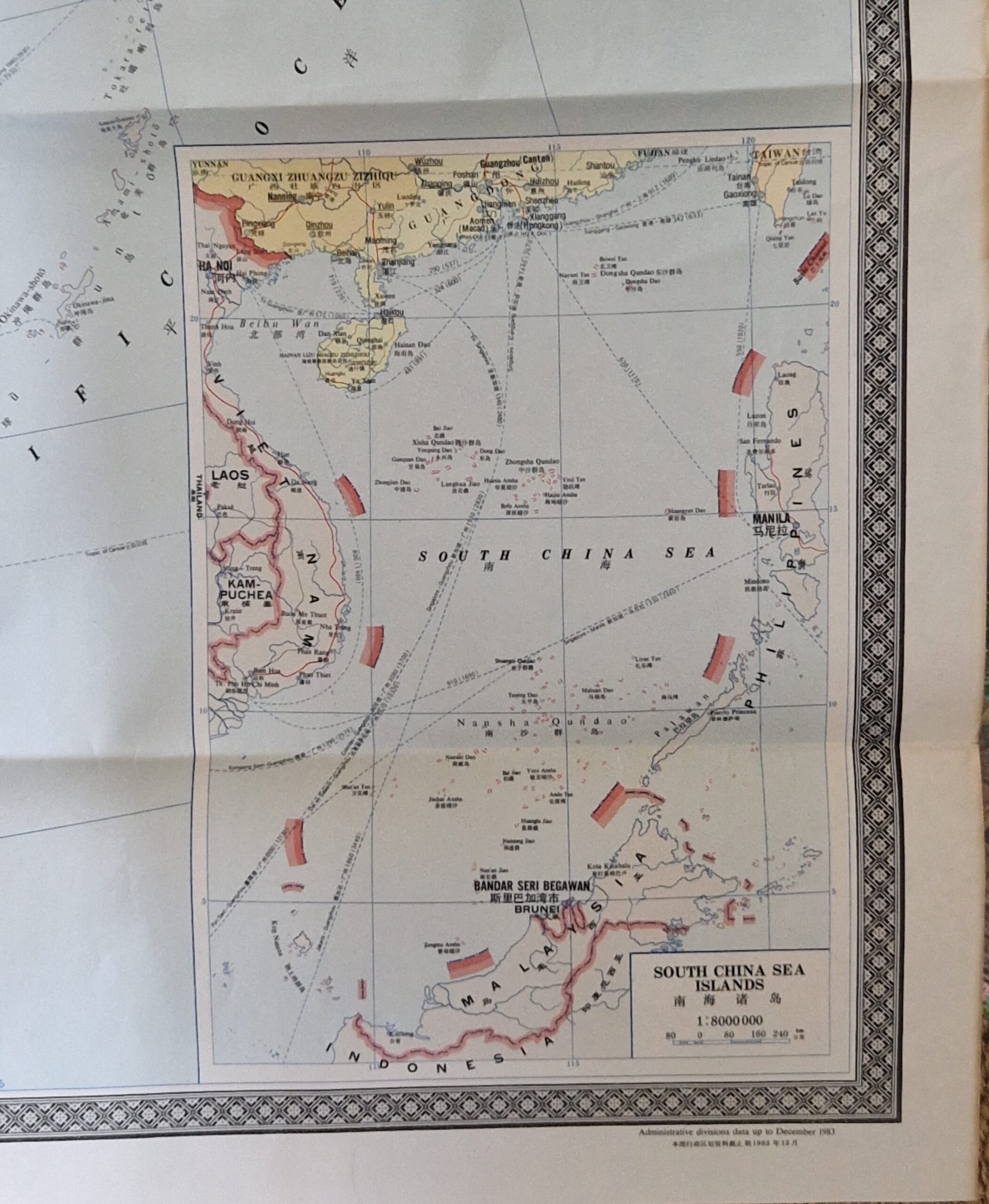
One of the largest maps ever made of China, commissioned and published by the Cartographic Publishing House. With insets of South Sea Islands and the World showing China’s geographic location. The map shows cities, towns, villages, roads, boundaries, rivers etc. Names are in Chinese, English and Pinyin.
[ref: 5069] £250Related products
-

 Quickview
-

 Quickview
-

 Quickview
-

 Quickview

Reviews
There are no reviews yet.