

Bartholomew, John Bartholomew’s Contour Motoring Map of India.


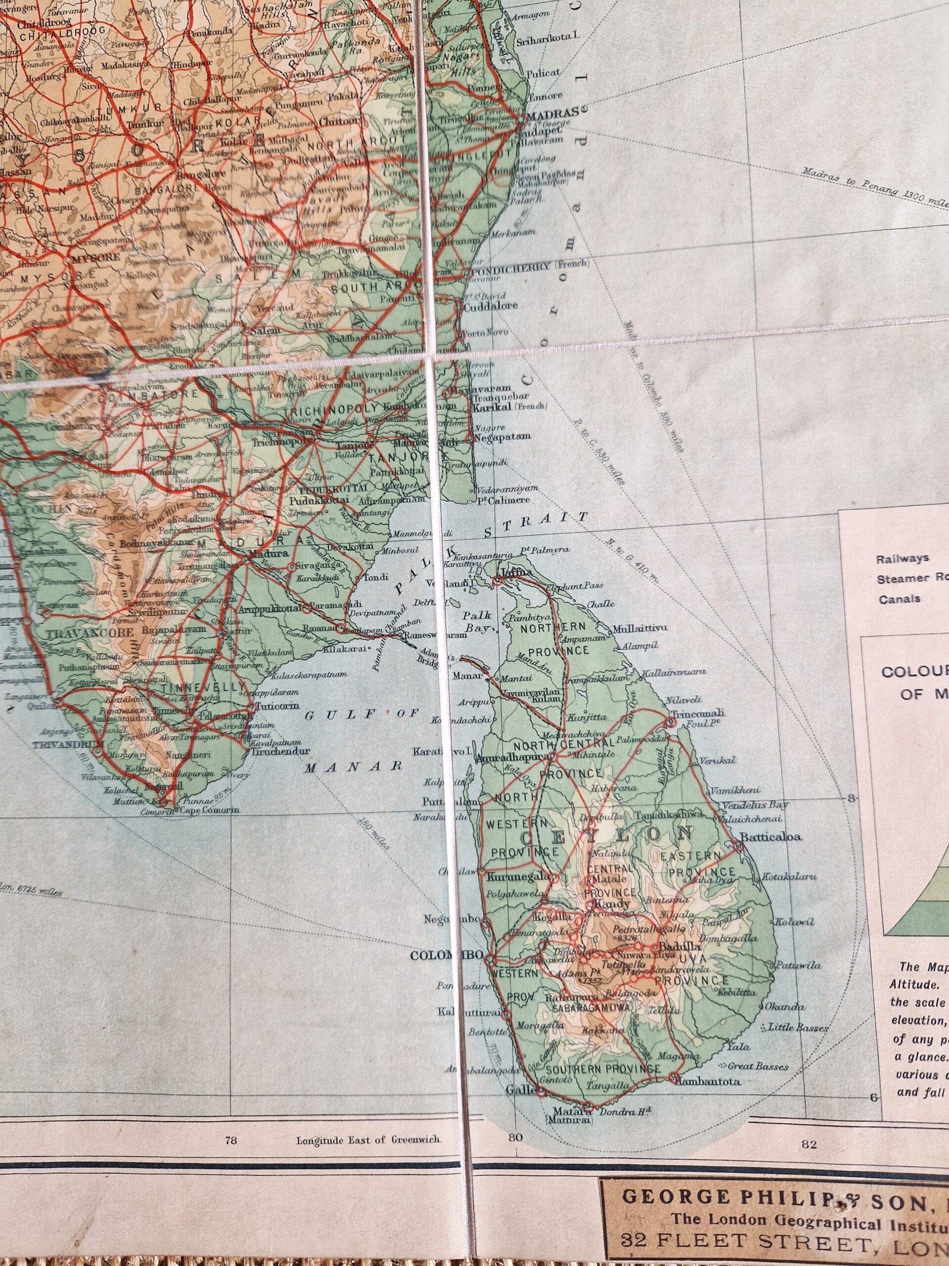
Asia – India – Ceylon – Sri Lanka – Folding map
£350.00
Description
Bartholomew, John Bartholomew’s Contour Motoring Map of India.
George Philip & Son Ltd. London c1920s
colour printed folding map; overall 91 x 85 cm, folds down to 18 x 12 cm. pasted on cloth, with 35 segments. some discolourations and staining; some pin holes in top and bottom margins; some place names underlined with pencil; on verso 1 marbled paper stuck onto cloth, one missing but showing remnants which results in front segment slightly wrinkled; o/w g cond.
A very detailed map of India, covering the area from Kashmir to Ceylon, and Afghanistan to Burma. Various insets of Ootacambund, Madras, the city and environs of Calcutta, the city and environs of Bombay.
The map shows main roads in red, major cities, towns, rivers, passages and sea routes and features the area of present-day Pakistan before it became independant.
[ref: 5065] £350Related products
-
 Quickview
-

 Quickview
£295.00
Beal, John John Beal & Son’s Hunting & Tourist Map of Sussex, &c, showing the Meets of the Warnham Stag Hounds, Southdown, Crawley and Horsham, East Sussex, Burstow, and Goodwood Fox Hounds, and the Brighton, Brookside, and Eastbourne Harriers.
-

 Quickview
-

 Quickview

Reviews
There are no reviews yet.