

Ryder, Col. C H D Kashmir & Jammu




Asia – India – Pakistan – China – folding map
£125.00
Description
Ryder, Col. C H D Kashmir & Jammu
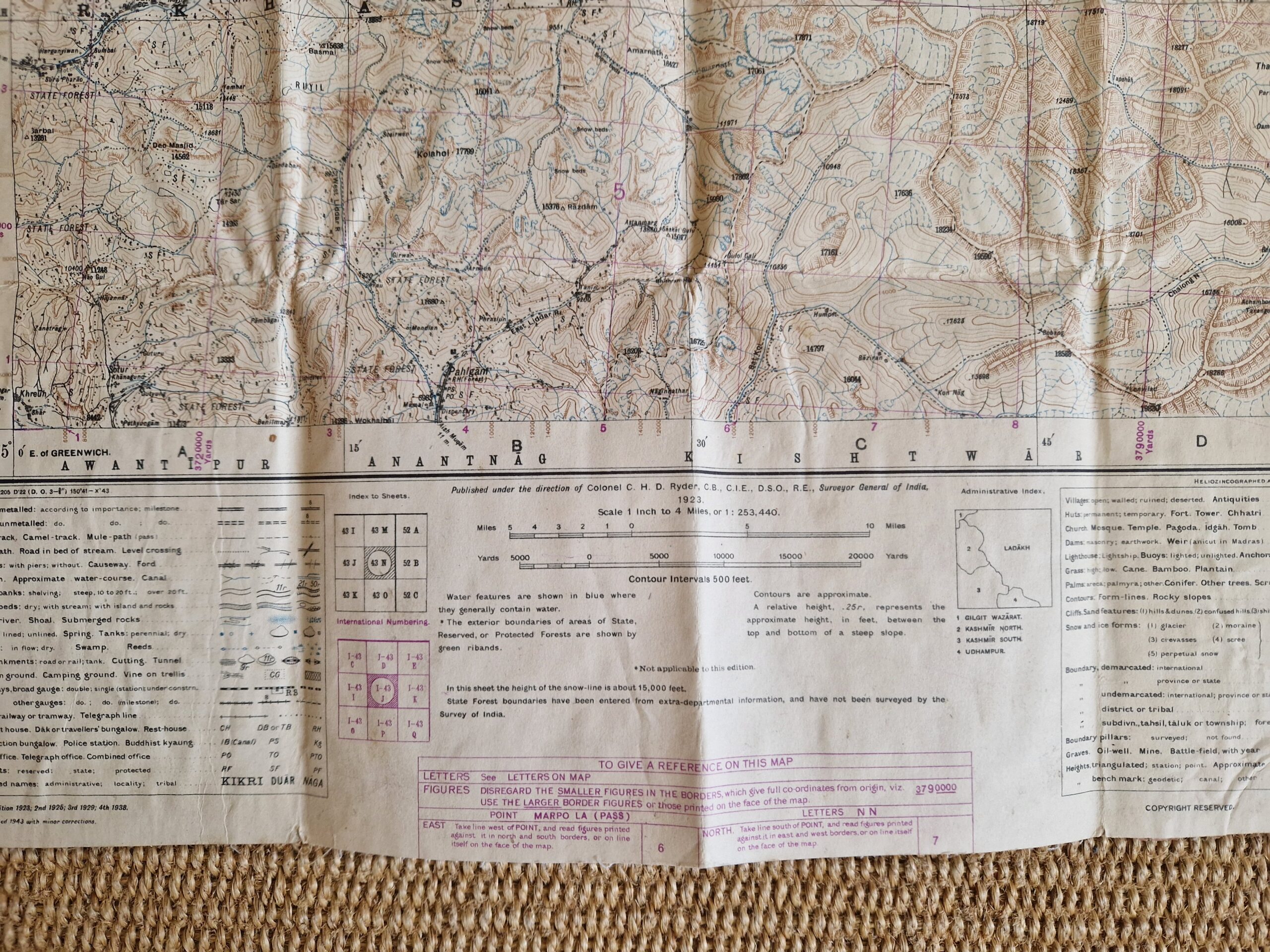
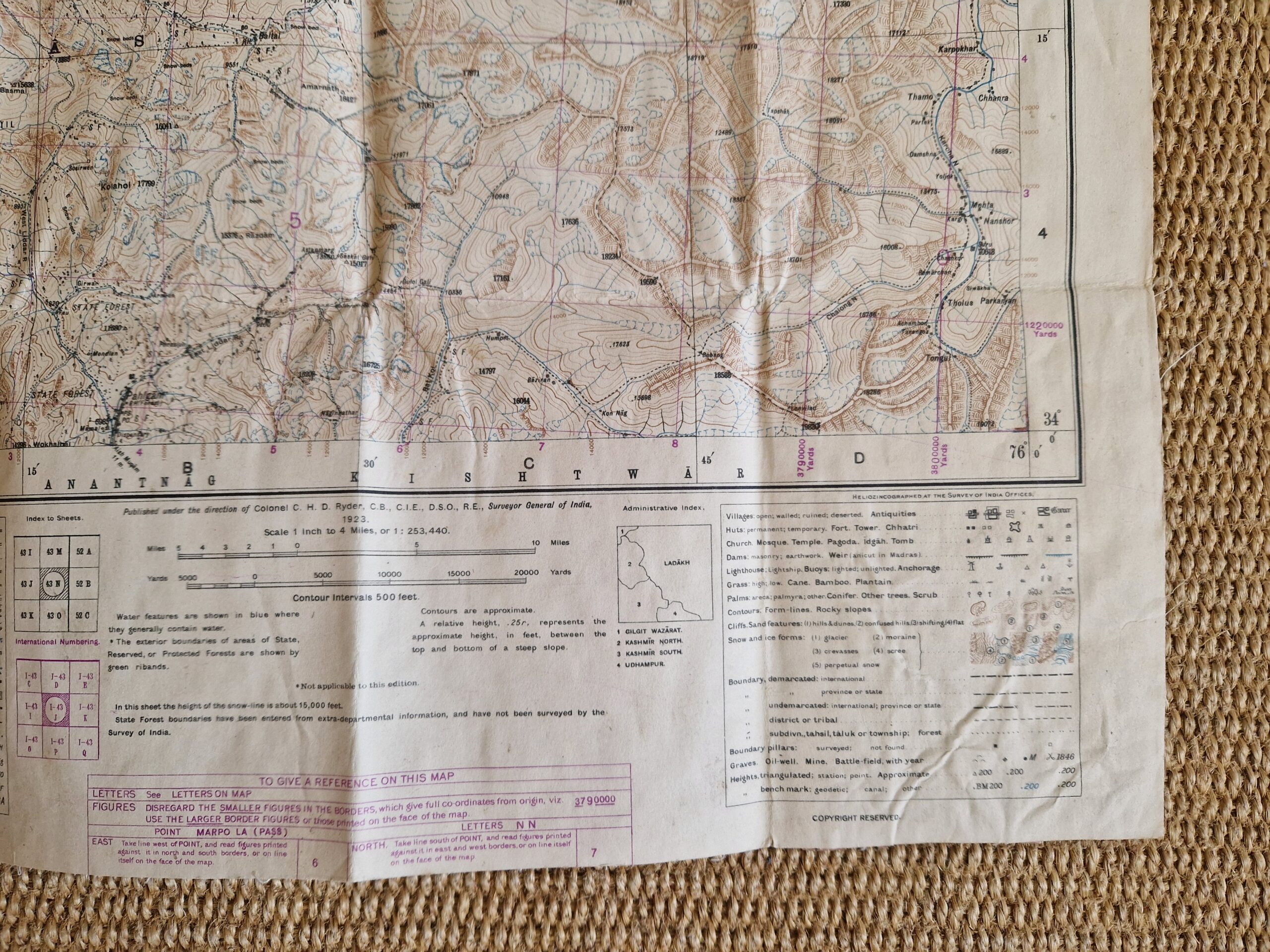
Survey of India Office India 1943
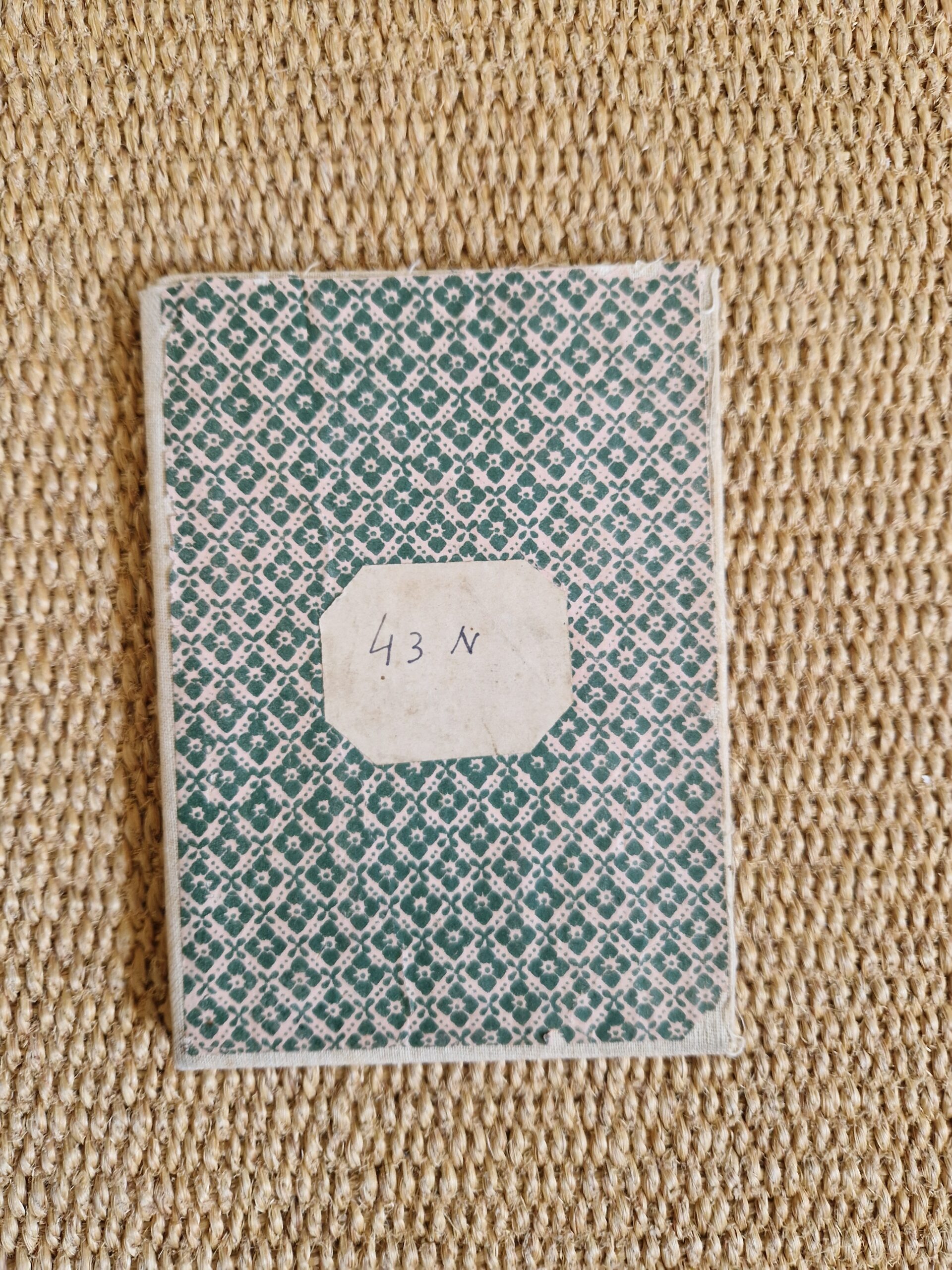
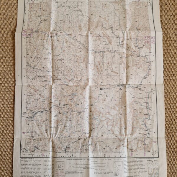
Heliozincographed map; overall 59 x 42 cm. folds as issued; pasted onto cloth; folds down to 15 x 10 cm. some wear and tear; some minor marginal tears; paper covers with some minor damage; o/w g cond.
A very detailed map of Kashmir and Jammu ‘published under the direction of Colonel C H D Ryder,…., Surveyor General of India; first published in 1923, this is the amended edition of 1943. The map shows roads, geographical specifications, churches, villages and even snow and ice forms.
Kashmir and Jammu was a region formerly administered by India as a state from 1952 to 2019, constituting the southern and southeastern portion of the larger Kashmir region, which has been the subject of a dispute between India, Pakistan and China since the mid-20th century.
[ref: 5085] £125Related products
-

 Quickview
£650.00
Quickview
£650.00Vaugondy, Robert/ Santini, Paolo: L’Empire du Japon, …. A Venise, Par P.Santini, 1778., chez Remondini.
-

 Quickview
£250.00
Quickview
£250.00Neal: Where to go? Turn the page Joe and you’ll find a… Cartoon Map of Downtown Tokyo.
-
 Quickview
-

 Quickview
Reviews
There are no reviews yet.