

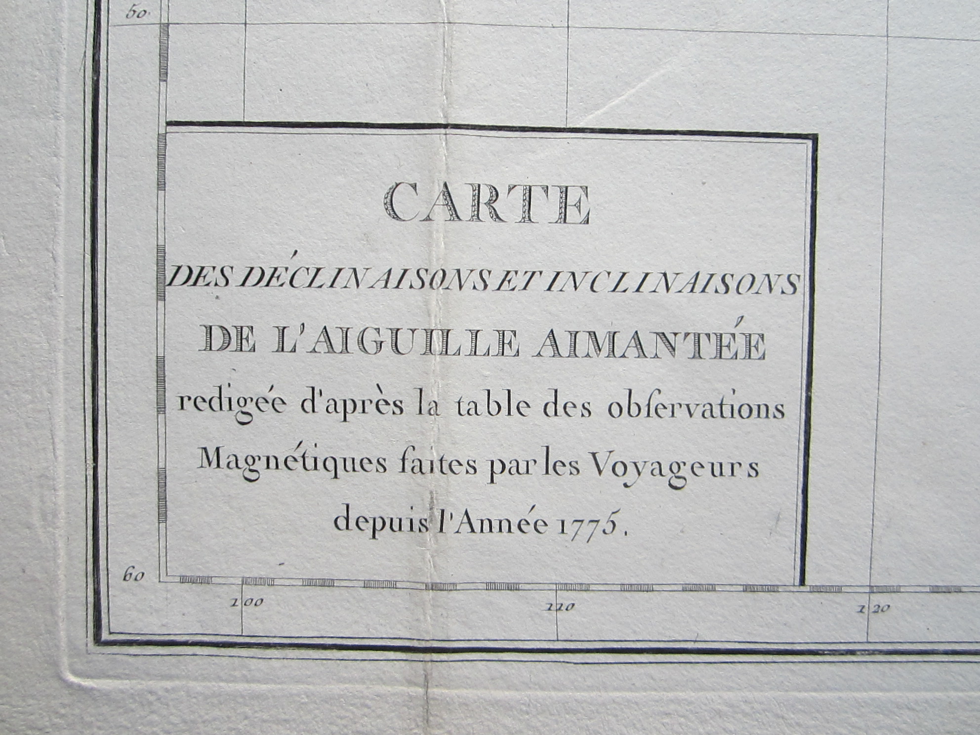
Buffon – Carte des Declinaisons et Inclinaisons de l’Aiguille Aimantee….1775




Australasia – Pacific – Buffon
£2,000.00
1 in stock
Description
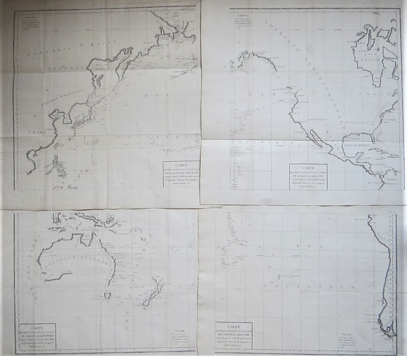
Rare Map of the Pacific on 4 Sheets.
Buffon, George Louis le Clerc (1707-1788): Carte des Declinaisons et Inclinaisons de l’Aiguille Aimantee….1775
Paris c1775
copper engraved maps on 4 sheets. 2 top maps each: overall 66 x 68 cm, plate 59 x 60 cm. 2 lower maps each: overall 49 x 65 cm; plate 45 x 55 cm. folds as issued and additional soft folds; professional repairs to folds; printer’s creases; some faint staining/ foxing; rust spots; o/w vg cond.
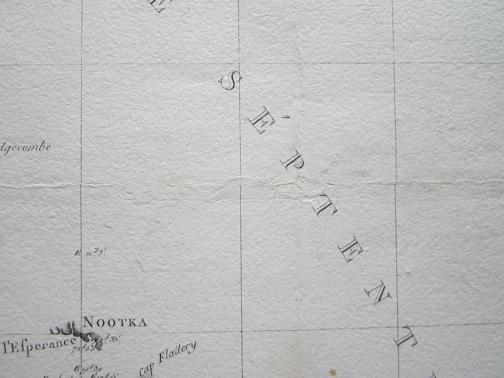
We are very fortunate to offer the complete set of sheets this rare, large scale sea chart of the Pacific Ocean, showing Canada and Hudson Bay to South America, Australia, New Zealand and New Guinea , China, Japan, Tartary, Korea and Philippines. This is the first map to show magnetic measurements in this region. Notable is Australia being joined with Tasmania. On thick paper with watermarks.
The source for this map is most likely Buffon’s ‘Illustrations de Histoire Naturelle des Mineraux’, and the map is probably based on La Perouse’s last voyage in the Pacific. It lacks any reference to Cook’s third voyage.
[ref: 3384] £2,000
Related products
-

 Quickview
-
 Quickview
-
 Quickview
-

 Quickview

1 in stock
Reviews
There are no reviews yet.