

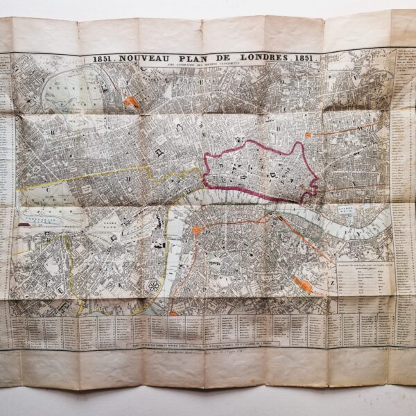
Taride & Dupuich 1851. Noveau Plan de Londres. 1851




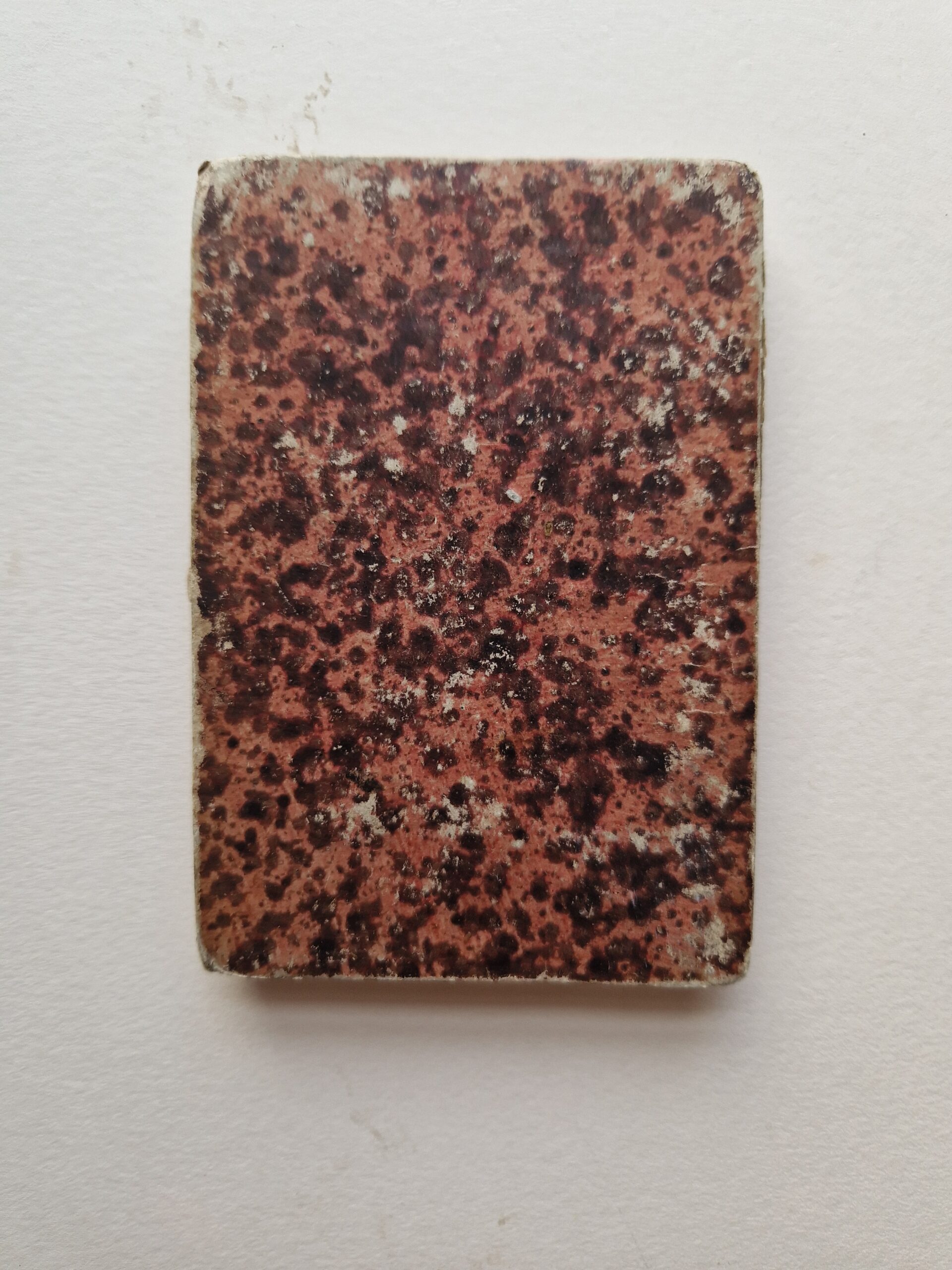
England – London – Folding map
£250.00
Description
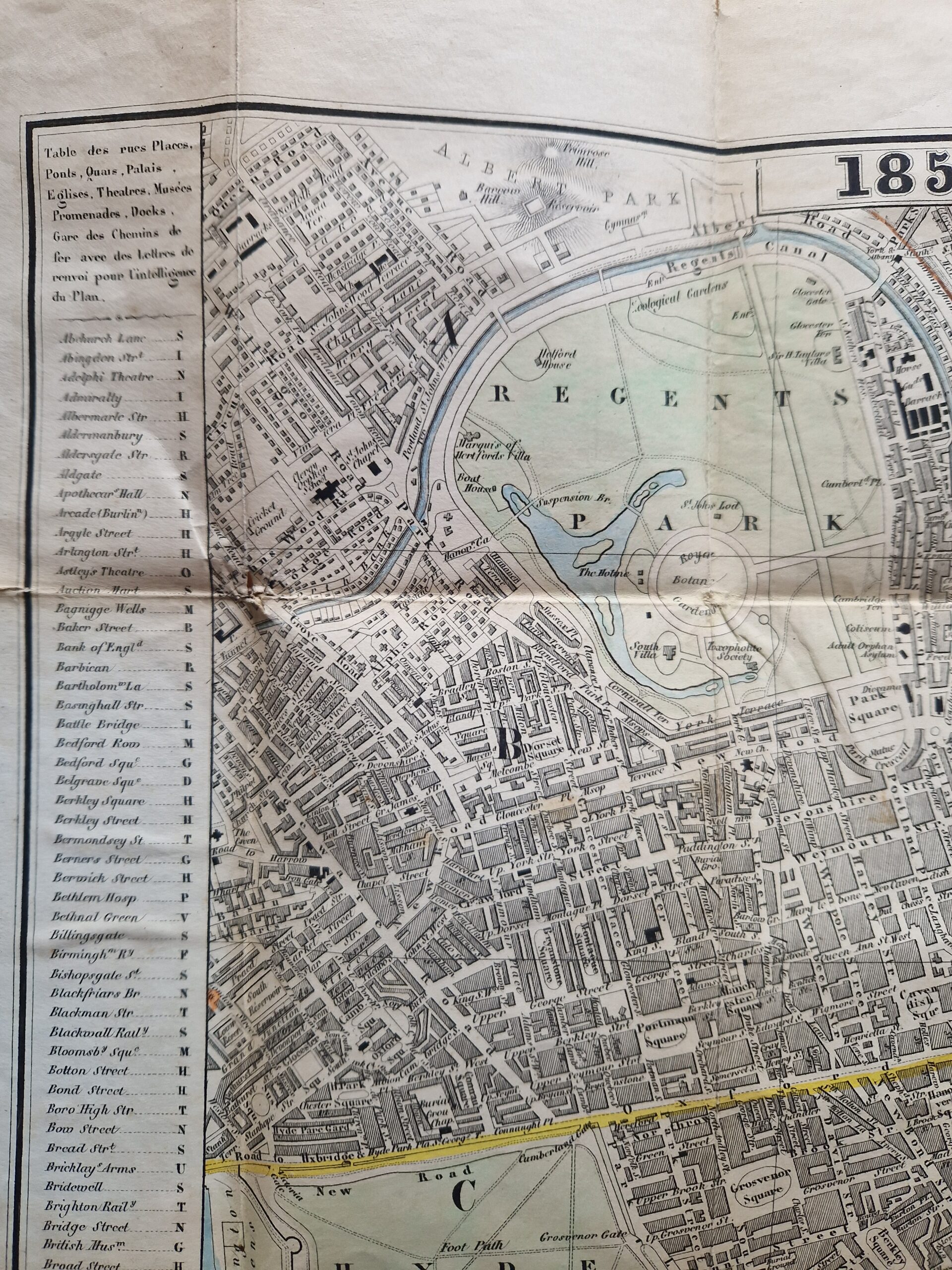
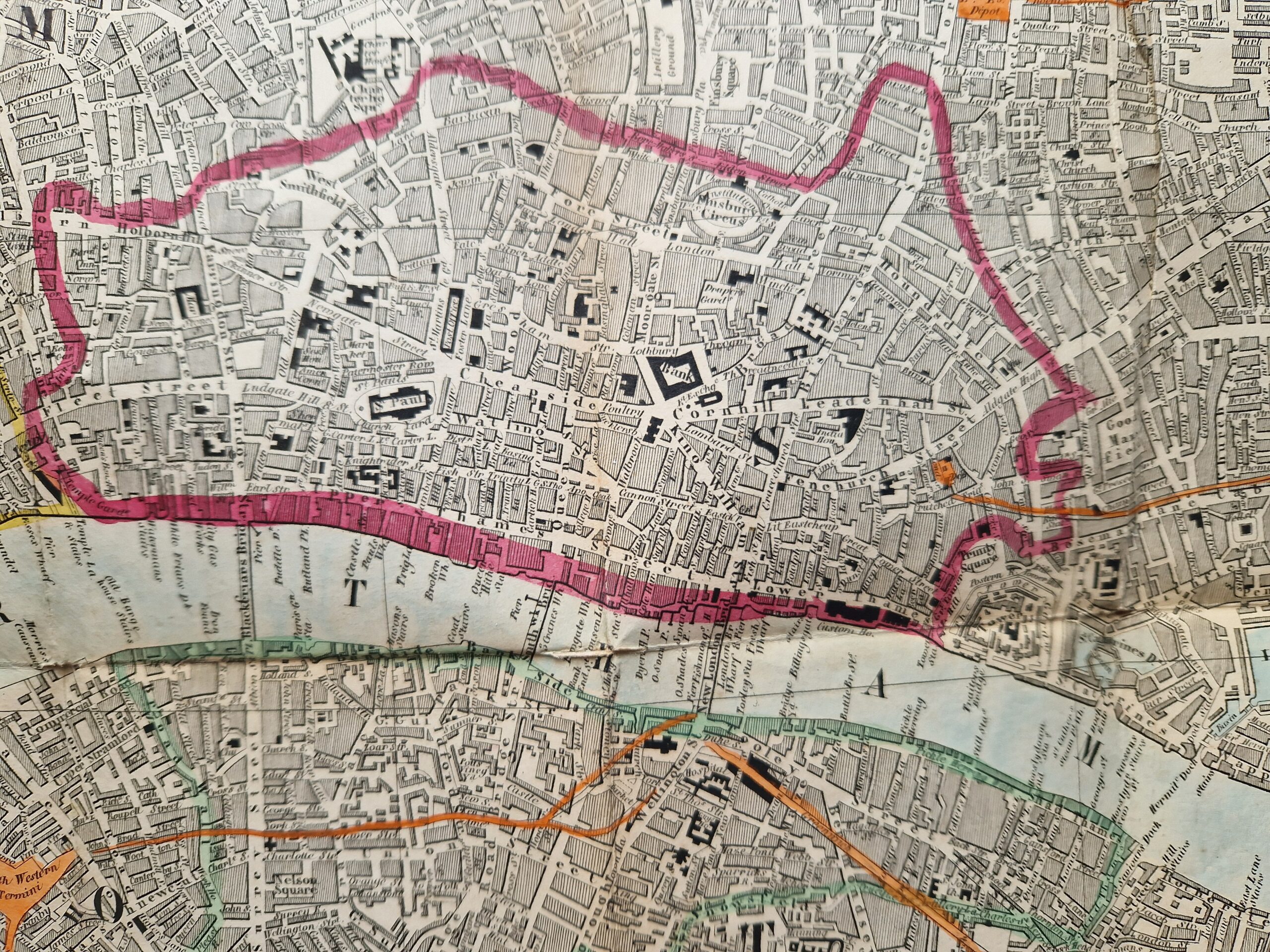
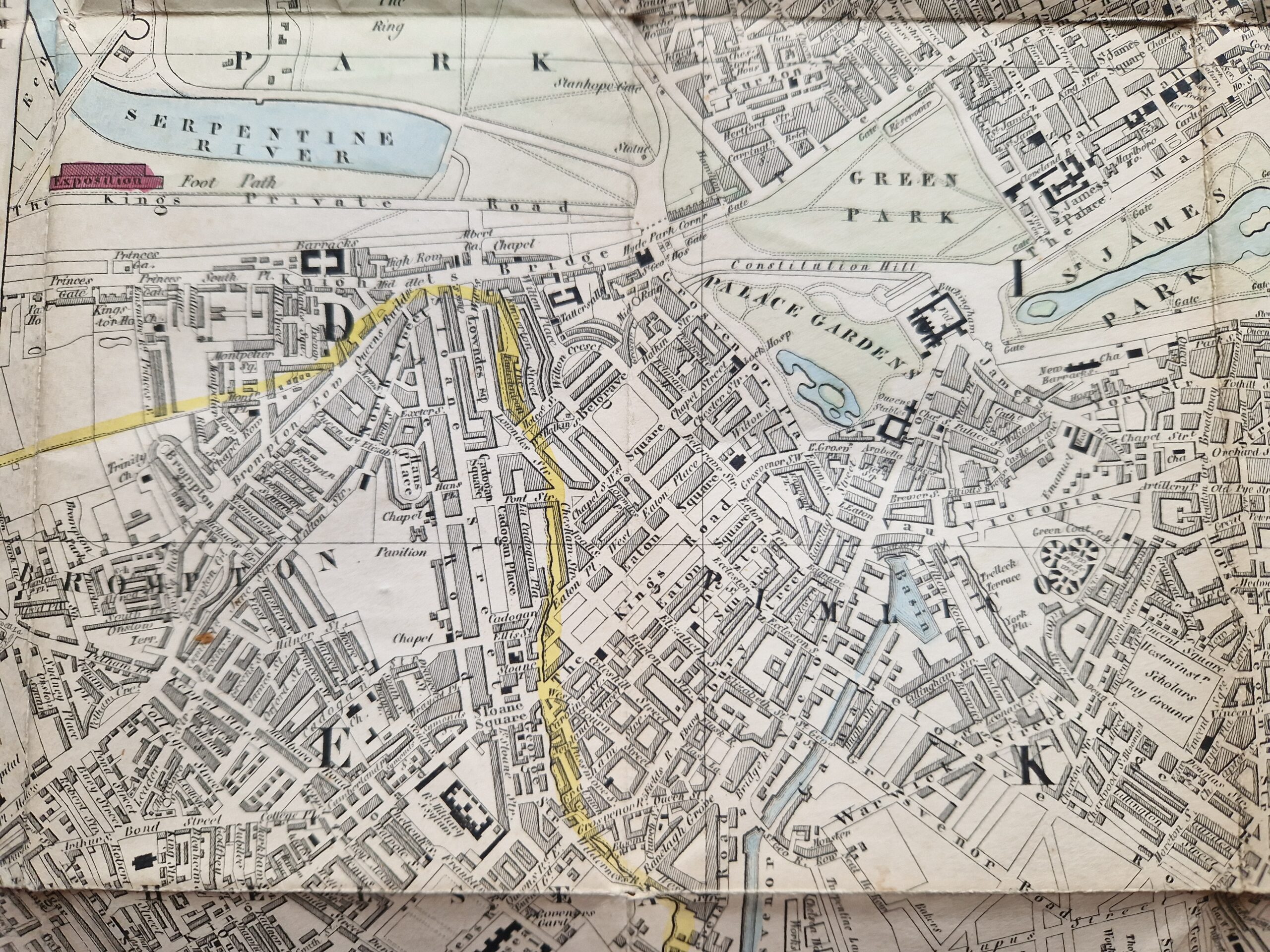
Rare London Plan published in French.
Taride & Dupuich 1851. Noveau Plan de Londres. 1851
Taride & Dupuich Paris 1851
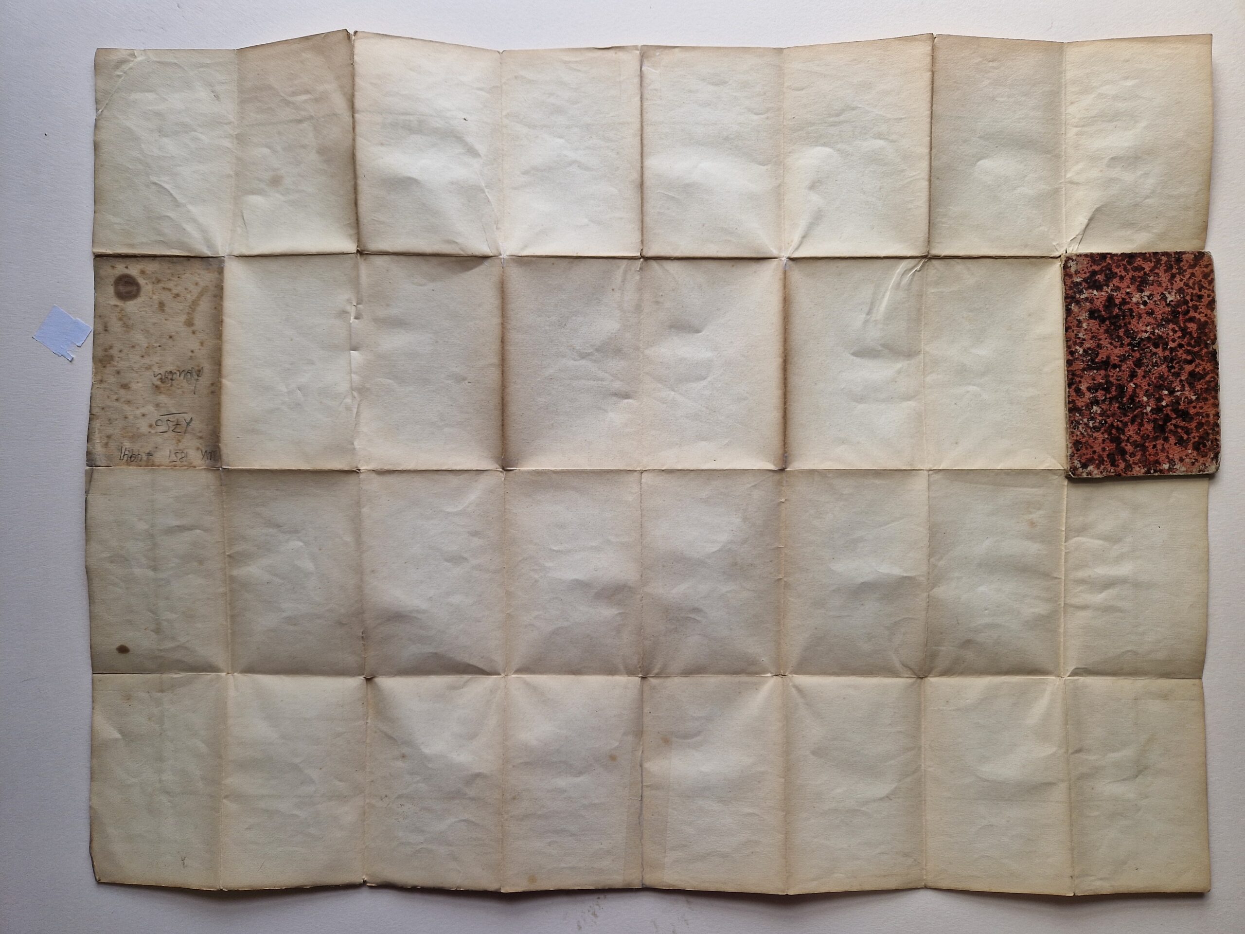
steel engraved map with some original hand-colouring; folding map; overall 52 x 69 cm; folds as issued; some staining and soiling; marginal tears; tears in crossfolds; 1 board of cover missing; marbled backboard; o/w g cond.
A very rare plan of London printed in Paris for the Great Exhibition in London in 1851. From Regent’s Canal to Vauxhall Bridge, and Hyde Park to London Dock. With a street index running along the side panels and the lower part of the map. Within the map, section are allocated by the letters of the alphabet, running from top to bottom. I have to admit, it is not the easiest of street maps to read !
[ref: 4941] £250Related products
-

 Quickview
-
 Quickview
-

 Quickview
-

 Quickview
Reviews
There are no reviews yet.