

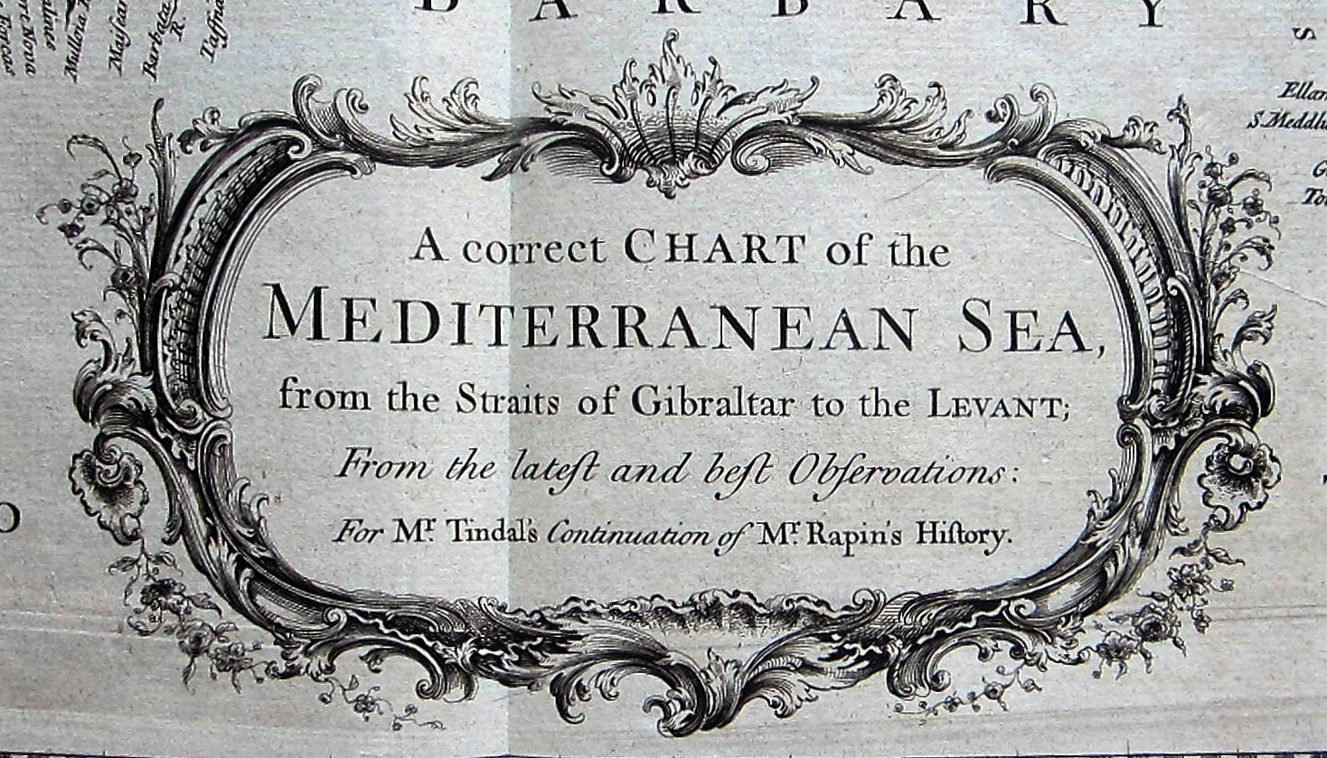
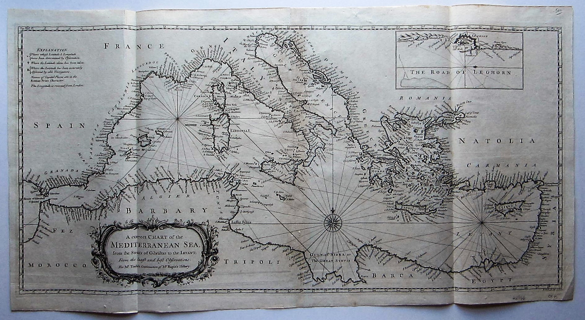
Europe – Mediterranean Sea – Seale: A correct Chart of the Mediterranean Sea from the Straits of Gibraltar to the Levant,…

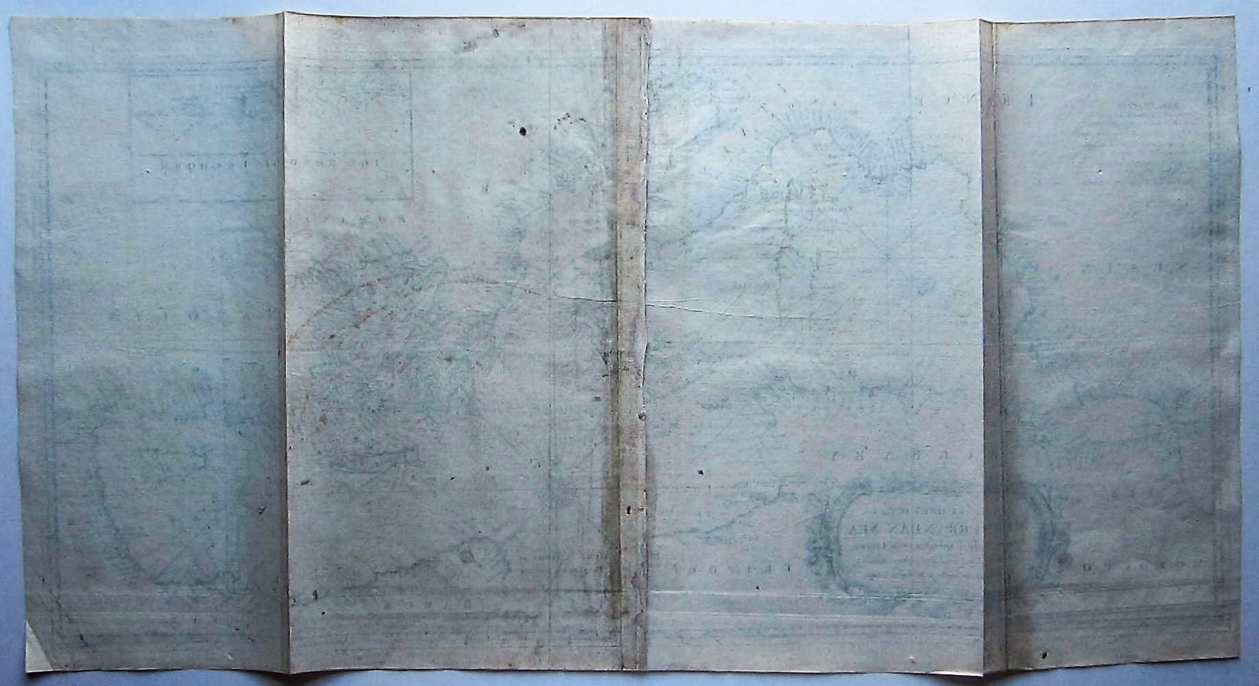
Europe – Mediterranean Sea – Seale
£500.00
1 in stock
Description
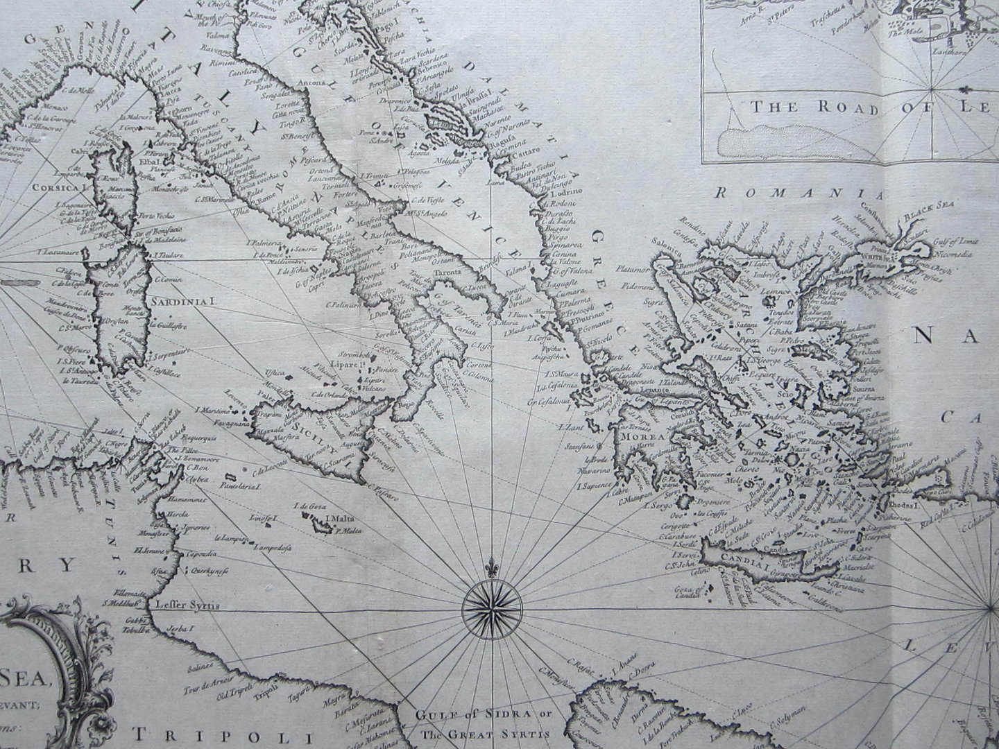
Tindal/ Rapin: Europe – Mediterranean Sea: A correct Chart of the Mediterranean Sea from the Straits of Gibraltar to the Levant,…
London c1745
copper engraved map; overall size 39 x 74 cm; plate size 36 x 72 cm.
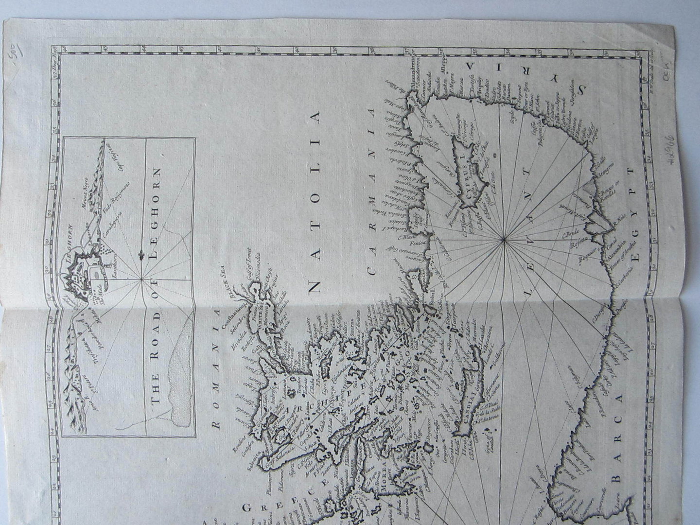
Detailed map of the coast of the Mediterranean Sea. With an inset of Livorno, a compass rose and a very decorative, large cartouche. From ‘Mr. Tindal’s Continuation of Mr. Rapin’s history of England’, with maps engraved by R.W. Seale.
Folds as issued; paper evenly toned; some off-set; indistinctive plate marks; some indentations; o/w exc. cond.
Related products
-
 Quickview
£80.00
Quickview
£80.00SDUK (Society for the Diffusion of Useful Knowledge) Denmark Copenhagen/ Kiobenhaven
-
 Quickview
-
 Quickview
-
 Quickview

1 in stock
Reviews
There are no reviews yet.