

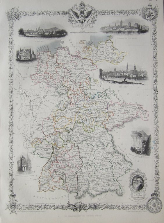
A map from the last decorative atlas of the Victorian era.
Germany Tallis
£65.00
1 in stock
Description
Tallis, J & F Germany
Tallis London & New York 1851
orig outline col. steel engraved map. 37 x 26 cm. From ?The Illustrated Atlas…?, edited by R.M.Martin ; maps engraved by J.Rapkin; illustrations drawn and engraved by various artists; exc. cond.
This edition has NO centrefold which makes it more desirable for collectors and therefore, demands a slightly higher price than other publications! This map is from the last highly decorative atlas produced in the Victorian era. The map is surrounded by scroll work and depicting various vignettes, showing topographcal views, costumes and customs, and general scenes. In this map, we see: Coburg; Cologne on the Rhin; Dresden; Silver Mines in the district of the Hartz Mountains; portraits of Guttenberg, Faust & Schoffer; Luther’s House, Frankfort on the Maine and The Palace of Saxe Gotha (the birthplace of Prince Albert). [ref: 1016 ]
Related products
-

 Quickview
£200.00
Quickview
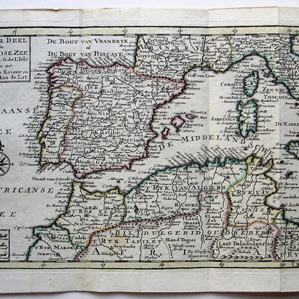
£200.00Europe – Mediterranean Sea – Keizer: ‘T Wester Deel van den Middelandse Zee… together with ‘T Ooster Deel van den Middelandse Zee…
-

 Quickview
-
 Quickview
-
 Quickview

1 in stock
Reviews
There are no reviews yet.