

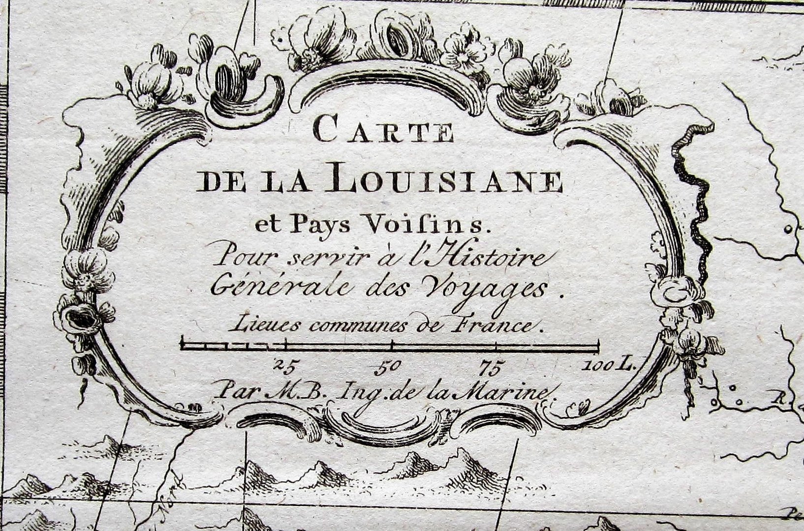
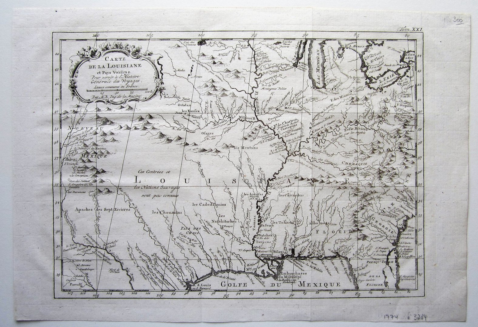
Bellin, Jacques Nicolas (1703-1772): Carte de la Louisiane et Pays Voisins…
Louisiana – Bellin
£300.00
1 in stock
Description
Bellin, Jacques Nicolas (1703-1772): Carte de la Louisiane et Pays Voisins…
Paris 1774
copper engraved map; overall 25 x 36 cm; plate 23 x 32 cm. folds as issued; indistinctive plate marks; o/w exc. cond.
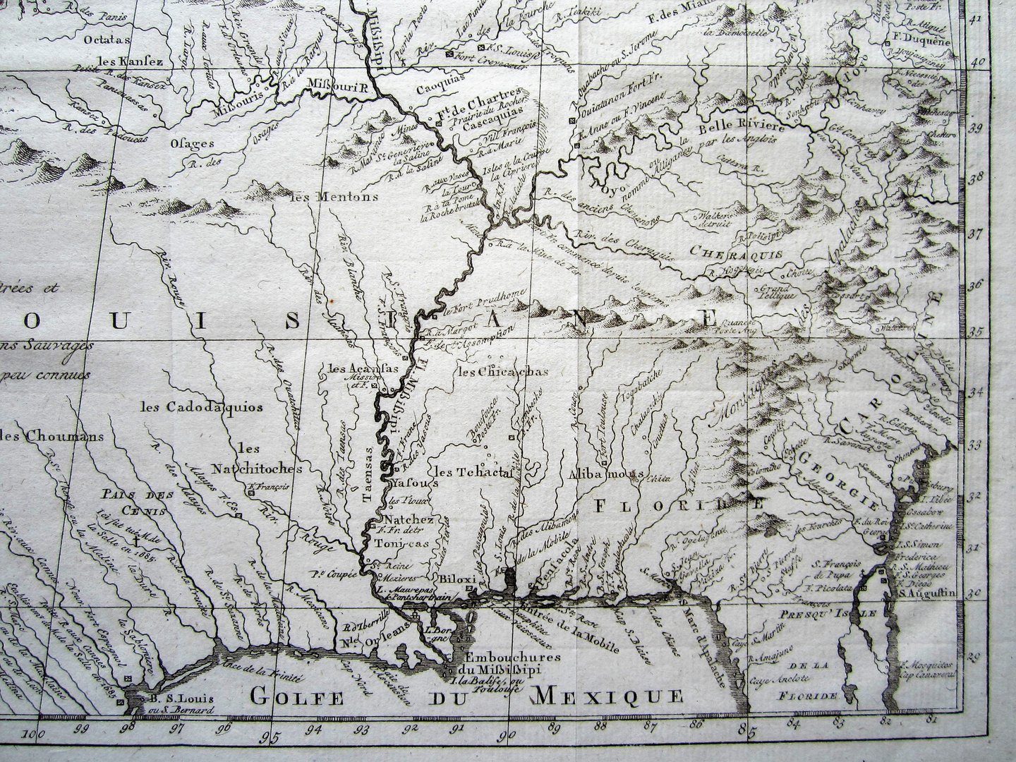
A detailed map of Louisiana 30 years before the Louisiana Purchase in 1803, by Bellin from Abbe Prevost’s ‘Histoire Generale des Voyages’ which shows most of modern day Louisiana as well as parts of Florida, Georgia and the Carolinas, as far as the Great Lakes
[ref: 3284] £300
Related products
-

 Quickview
-

 Quickview
-

 Quickview
-

 Quickview

1 in stock
Reviews
There are no reviews yet.