

Royal Geographical Society: Sources of the Mississippi.

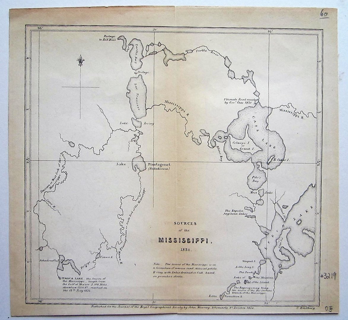

Mississippi – Royal Geographical Society
£60.00
1 in stock
Description
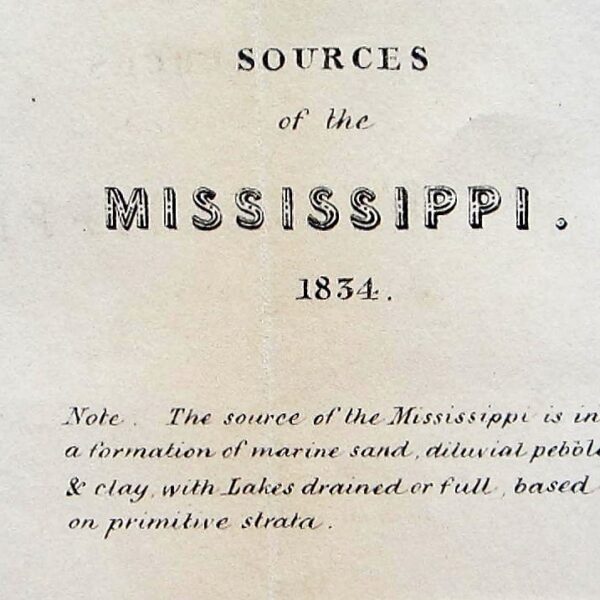
Royal Geographical Society: Sources of the Mississippi.
London, 1834
Overall size 21,5 x 22,5 cm; image 19,5 x 20,5 cm. fold as issued; edges frayed; some slight discolouration; p[late slightly rubbed; small left margin; very small tear top margin; o/w vg cond.
This map was published in the Journal of the RGS. The map shows the area between Itasca Lake, Leech Lake, Cass Lake and Lac Traverse.
Ref: 3219
Related products
-

 Quickview
£600.00
Bellin, Jacques Nicolas (1703-1772): Carte De La Californie d’Apres les obserations le plus exactes Pour servir a l’Histoire Generale des Voyages.
-

 Quickview
-
 Quickview
-

 Quickview
1 in stock
Reviews
There are no reviews yet.