

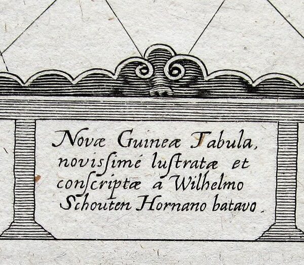
Schouten, Willem Cornelisz: Eine Carte von Nova Guinea…/ Novae Guineae Tabula…/ Description de la coste septentrionale de Nova Guinea…



Newe Guinea – Schouten
£750.00
1 in stock
Description
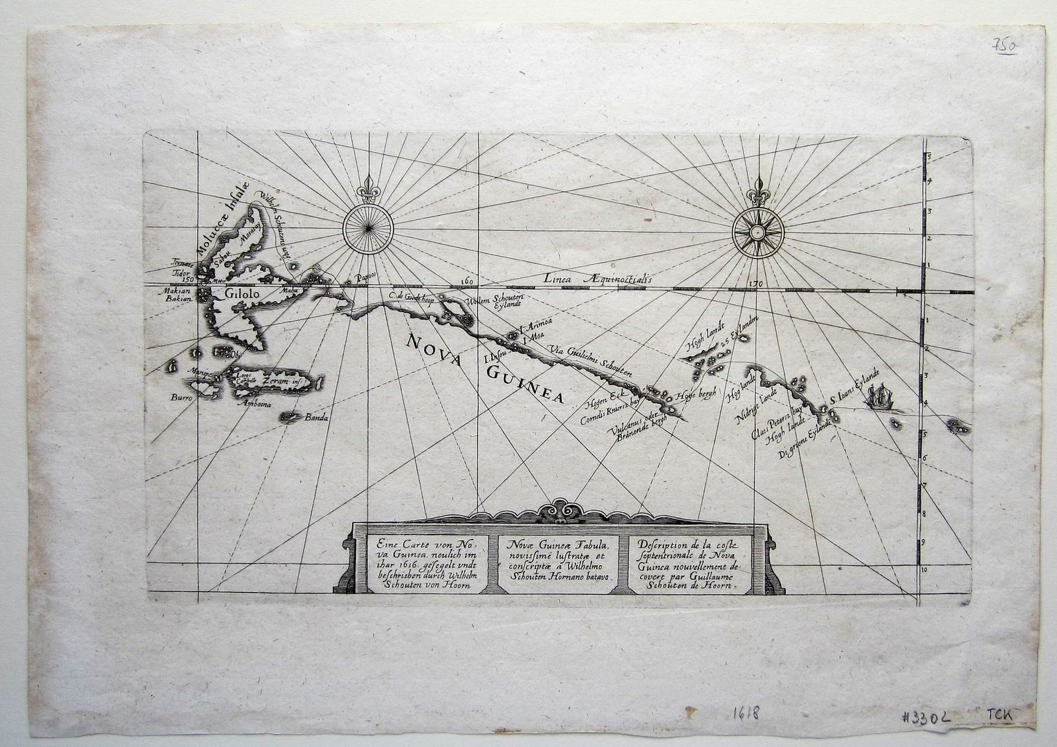
Schouten, Willem Cornelisz: Eine Carte von Nova Guinea…/ Novae Guineae Tabula…/ Description de la coste septentrionale de Nova Guinea…
W. Blaeu Amsterdam 1618
copper engraved map; overall 23,5 x 33,5 cm; plate 15,5 x 27,5 cm. paper evenly toned with some faint stains and foxing; o/w exc. cond.
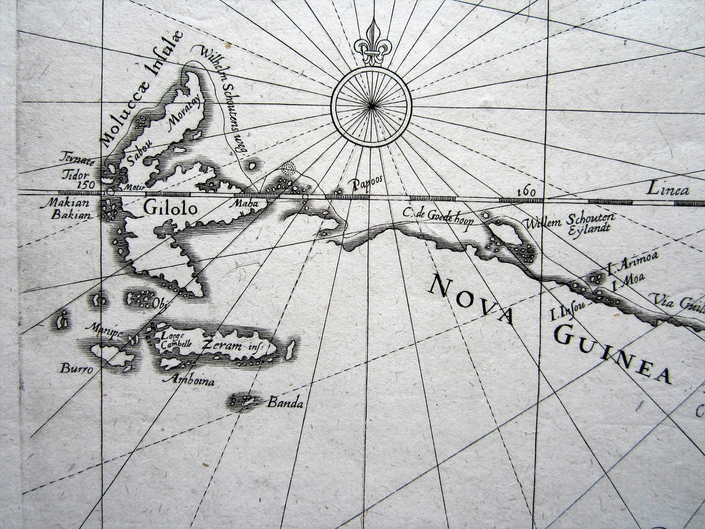
A very rare map of the North coast of New Guinea and the Moluccas from Schouten’s travel account of the ‘Eendracht’ and ‘Hoorn’, published in ‘Journal Ofte Beschryvinghe van de wonderlicke reyse, ghaedaen door Willem Cornelisz Schouten van Hoorn, inde Jaren 1615, 1616, en 1617.’.c1567-1625)
Paper is watermarked; nice strong impression; with a ttile cartouche in Dutch, Latin and French; with two compass roses.
Schouten was a Dutch navigator for the Dutch East India Company. He was the first to sail the Cape Horn route to the Pacific Ocean.
[ref: 3302] £750
Related products
-
 Quickview
-

 Quickview
-
 Quickview
-
 Quickview
1 in stock
Reviews
There are no reviews yet.