

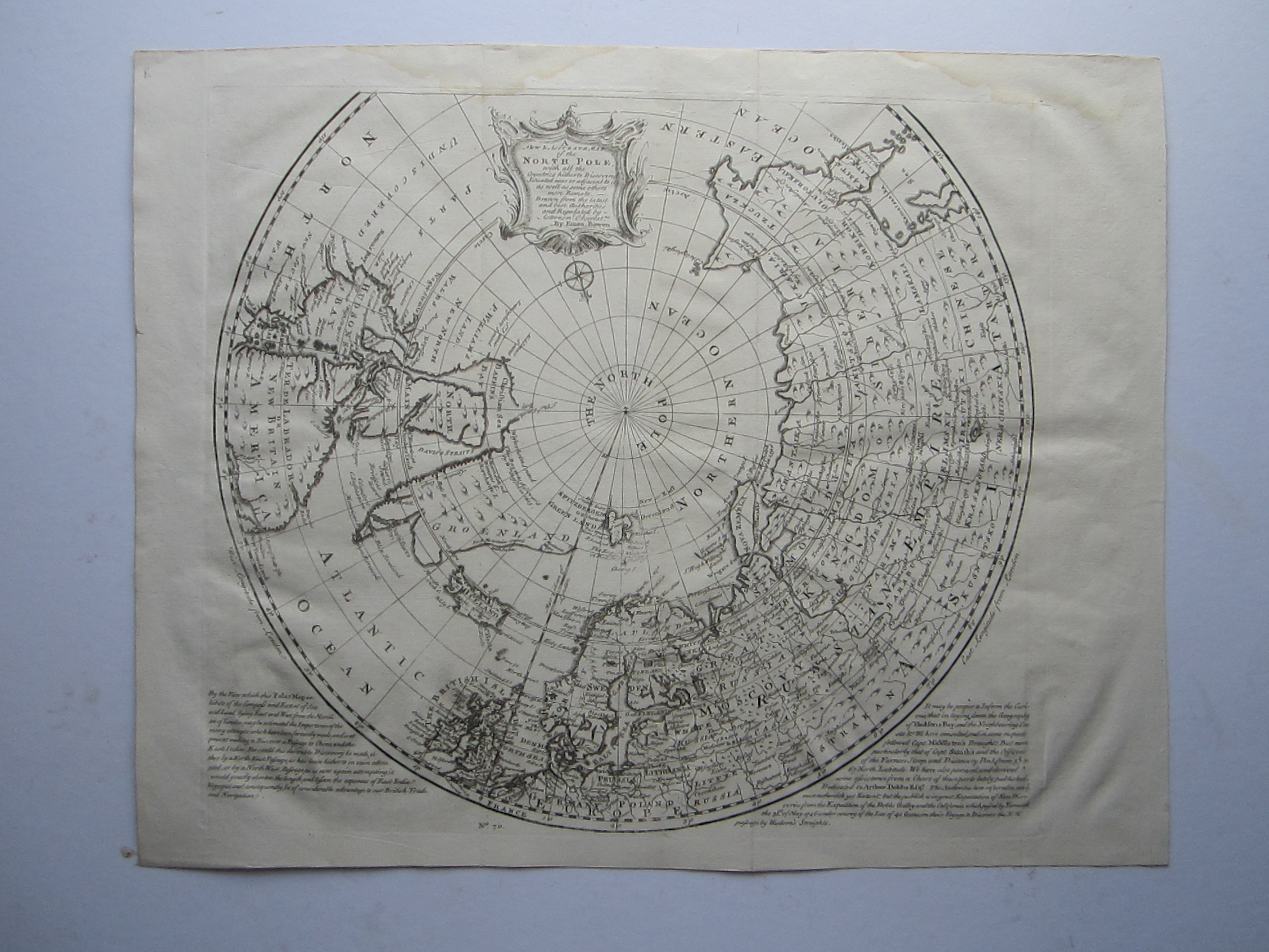
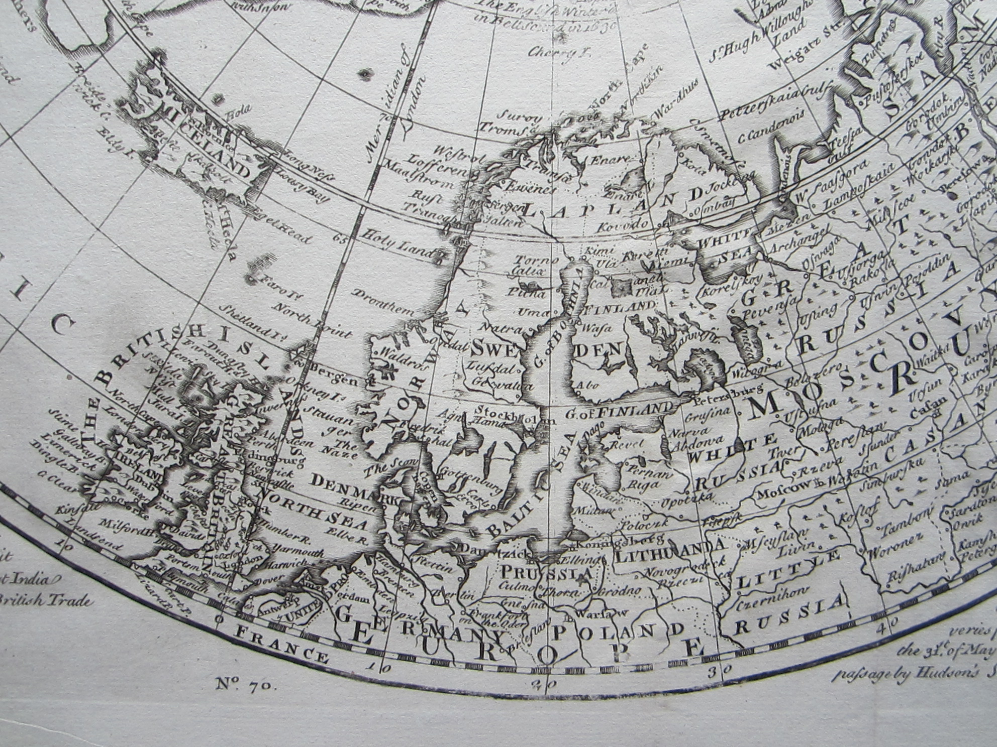
Bowen, Emanuel (1694?-1767): A New and accurate Map of the North Pole….




North Pole – Artic
£375.00
Description
London, 1747
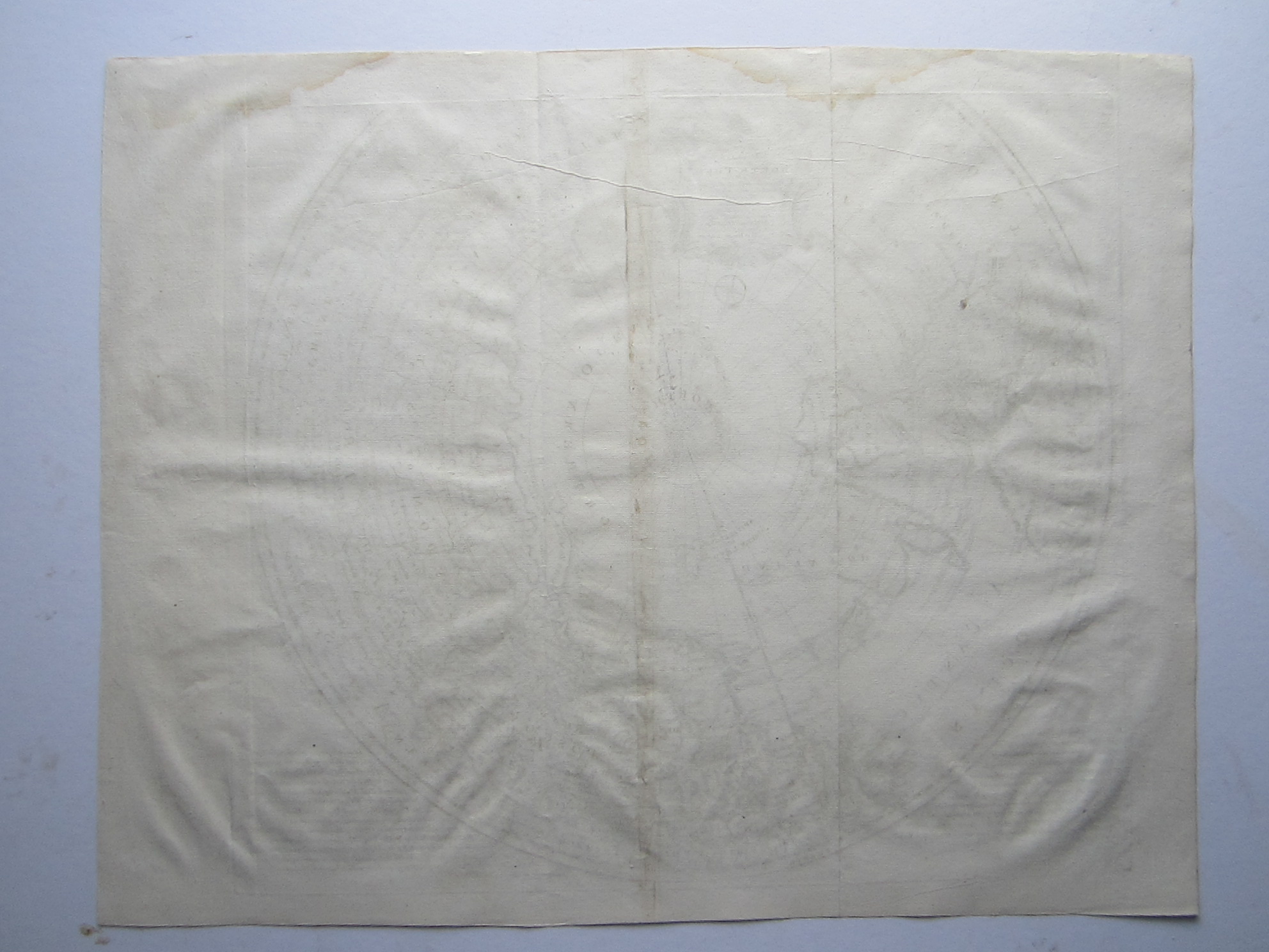
copper engraved map; overall 41,5 x 51,5 cm, plate 38 x 43 cm. folds as issued; some waterstains top margin; plate slightly rubbed in one place (Spitzbergen/ Greenland), o/w strong impression; some tiny wormholes within image; o/w vg vond.
A very attractive map of the North Pole from Bowen’s “A Complete System of Geography”. Shows Northwest Passage and routes and discoveries of various explorers. Scroll type cartouche.
[ref: 4558] £375Related products
-
 Quickview
-

 Quickview
-
 Quickview
-

 Quickview

Reviews
There are no reviews yet.