

Pacific – Bellin



Pacific – Bellin
£200.00
1 in stock
Description
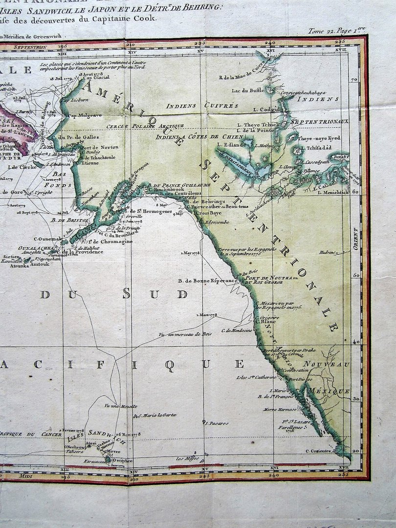
Bellin, Jacques Nicolas: Carte de la Partie Septentrionale de la Mer du Sud, comprise entre la Californie, les Isles Sandwich le Japon et le Detrt. de Berring; …
Paris c1785
copper engraved map with later hand colouring, overall 30 x 43 cm, plate 28 x 42 cm. folds as issued, small margins left and right, slightly browned paper, some spotting, o/w g cond. verso blank.
An interesting map showing the North Pacific with the North East Coast of Asia and the North West Coast of America. the Berring Straits and the Sandwich Islands. The map is based on Capt. Cook’s third voyage, by Bellin, from Prevost’s Histoire Generale des Voyages.
[ref: 3556]Related products
-
 Quickview
£300.00
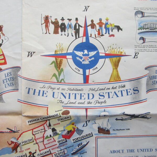
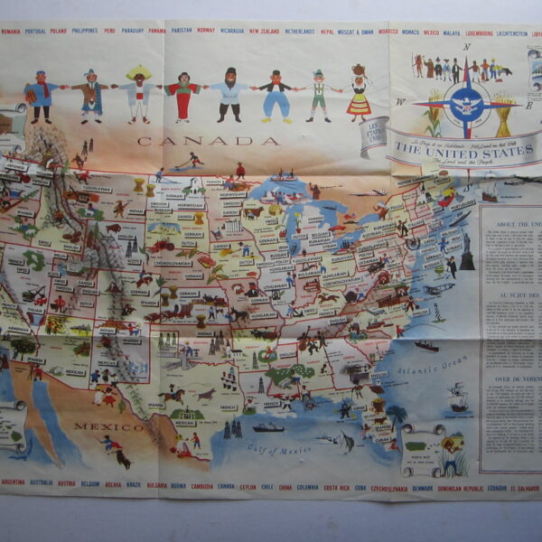
unknown The United States: The Land and People – Le Pays et ses Habitants – Het Land en het Volk
-

 Quickview
-

 Quickview
-
 Quickview

1 in stock
Reviews
There are no reviews yet.