

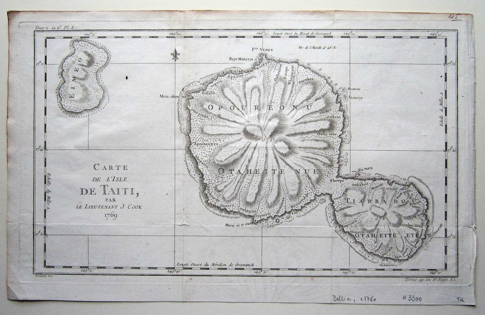
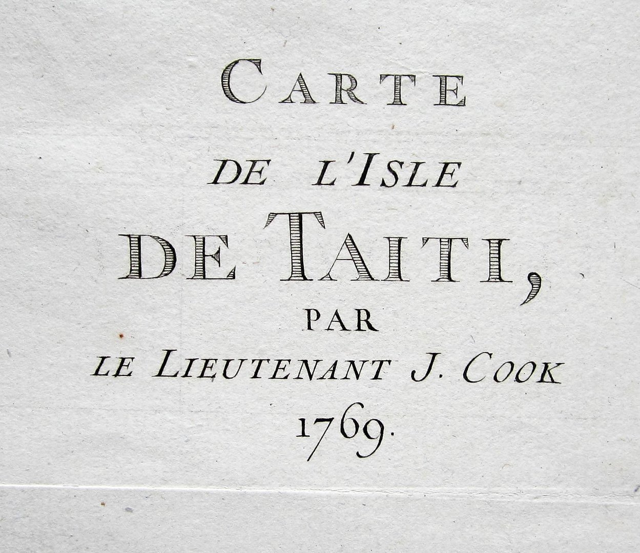
Bellin, J.N.: Carte de l’Isle de Taiti, par le Lieutenant J. Cook, 1769.
Tahiti – Bellin
Out of StockDescription
Bellin, J.N.: Carte de l’Isle de Taiti, par le Lieutenant J. Cook, 1769.
Paris c1780
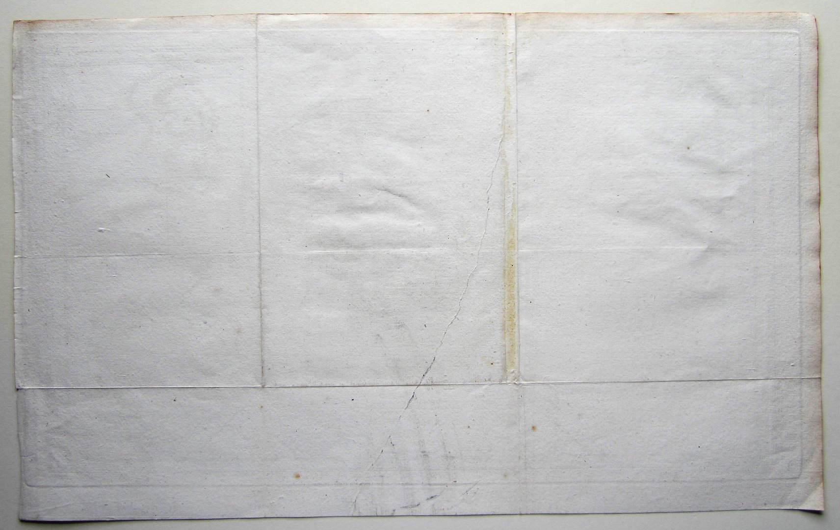
copper engraved map; overall 27,5 x 44,5 cm; plate 25 x 43 cm. folds as issued; some tears in the folds not affecting image; paper evenly coloured with some discolouration and spots; some tears in cross folds; some faint off-set; o/.w vg cond.
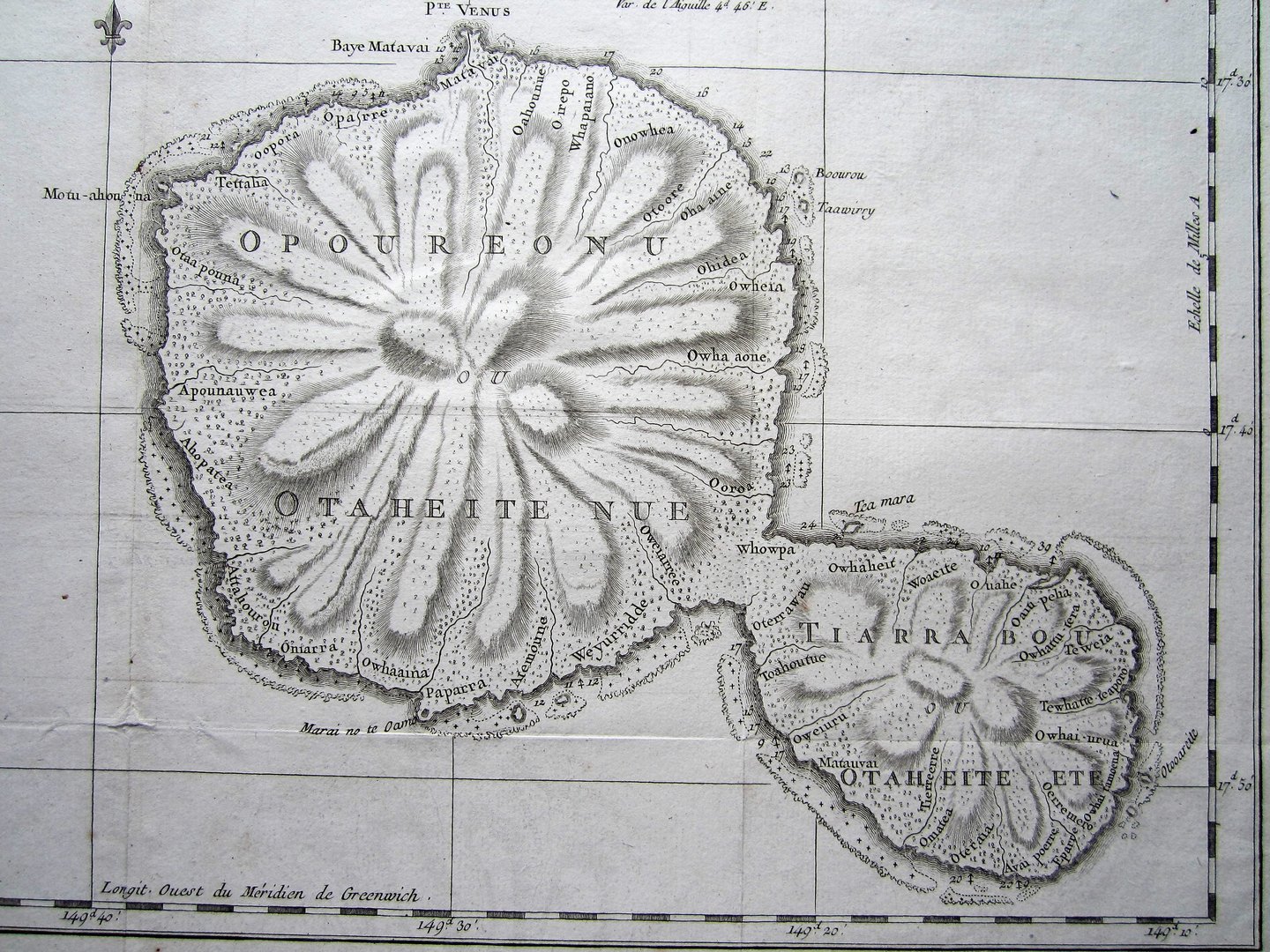
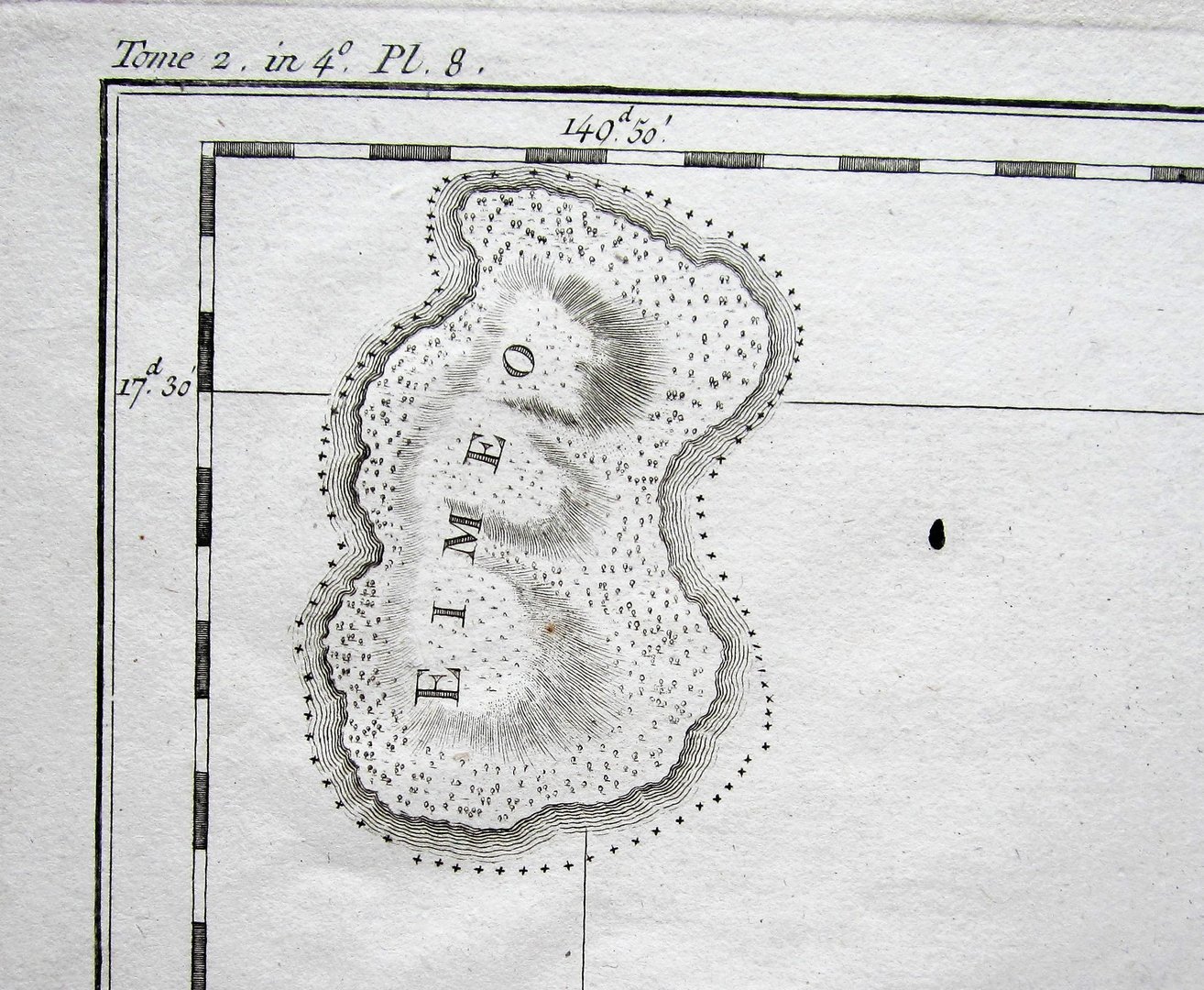
An attractive and detailed map of Tahiti, from Cook’s first voyage. Shows the general outlay of the map with place names.
[ref: 3300] £125
Related products
-

 Quickview
-
 Quickview
-

 Quickview
-
 Quickview

Reviews
There are no reviews yet.