

USA – Department of State


USA – Department of State
£100.00
1 in stock
Description
Department of State: USA – Pictorial Map: A Pictorial Map of the United States of America Showing Principal Regional resources, Products, and Natural Features.
Department of State, Washington, DC. Netherlands 1954
Colour printed map; overall size 60 x 80 cm, map size 59 x 79 cm.
A rare pictorial map of the USA published by the Department of State. It shows locals produce, flora and fauna, and sights. With four insets: the USA in relation to the rest of the World, Principal Trunk-Line Railroads, Air Routes and Terrain, and Trunkline Highways.
cream-coloured paper; folds as issued; 5 cm long tears into the image in the horizontal fold; smaller tears in the vertical folds not affecting image; small holes in the cross folds; some foxing on verso; o/w g cond.
american pictorial map
Related products
-

 Quickview
-

 Quickview
-

 Quickview
£65.00
Quickview
£65.00New York Convention and Visitors Bureau, Inc. : Map of the Hot Spots in New York City
-
 Quickview
£300.00
Quickview
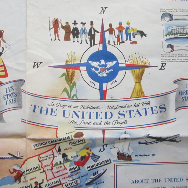
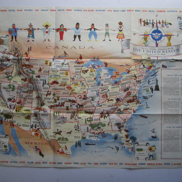
£300.00unknown The United States: The Land and People – Le Pays et ses Habitants – Het Land en het Volk

1 in stock
Reviews
There are no reviews yet.