

Rapkin, John: United States

USA – Texas – Louisiana – Slave trade
£200.00
Available on backorder
Description
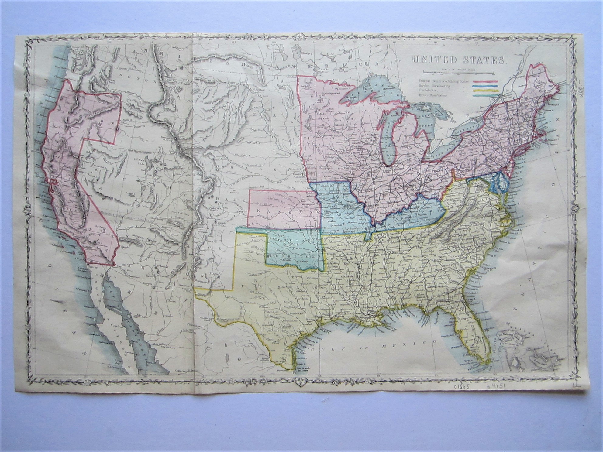
The London Printing and Publishing Company London c1865
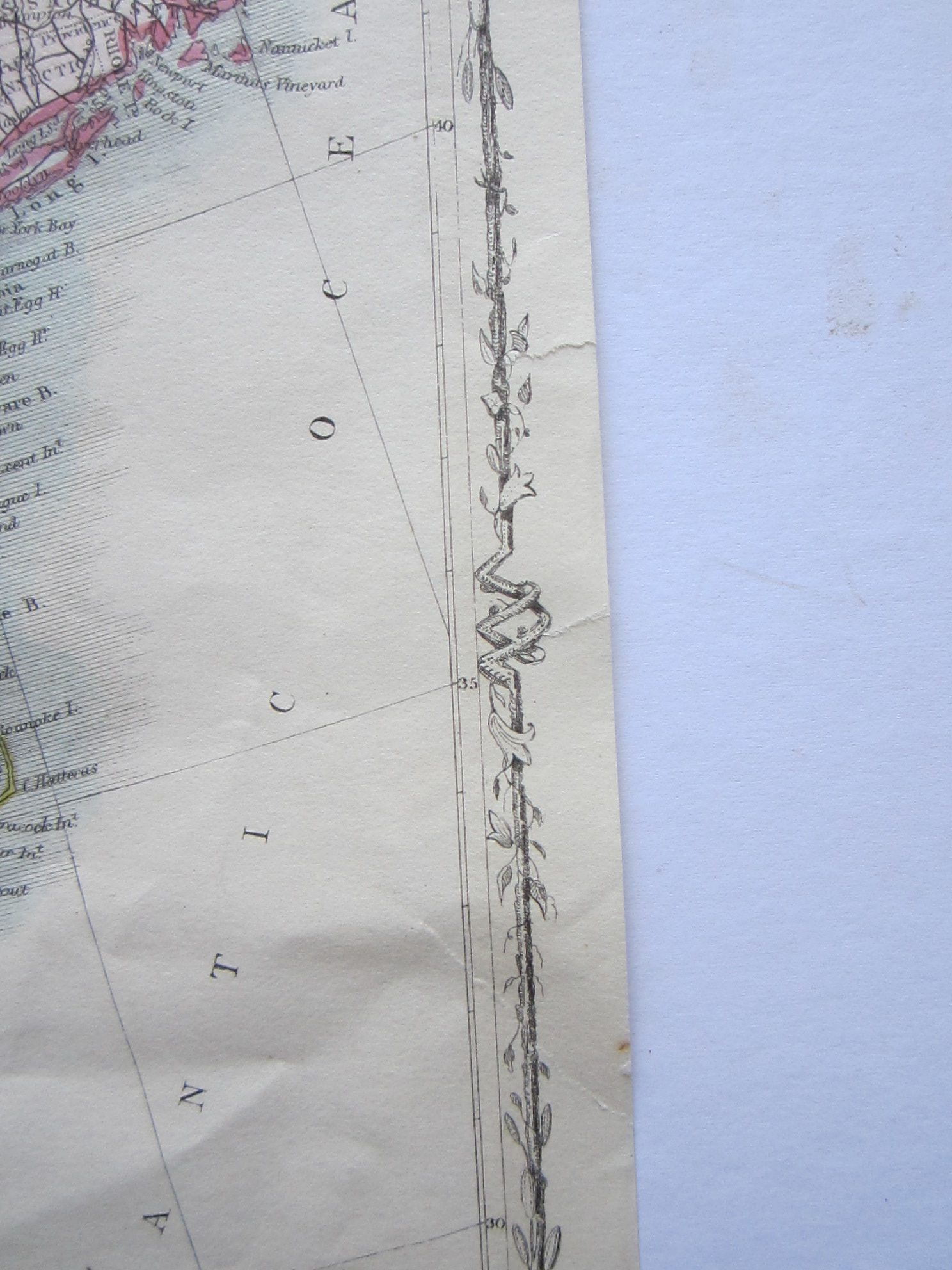
steel engraved map with original colouring; overall 27 x 44 cm. folds as issued; slightly cropped to top margin; 2 small marginal tears up to decorative border; 1 tear into image, supported with paper archival tape; one smudge on verso; o/w vg cond.
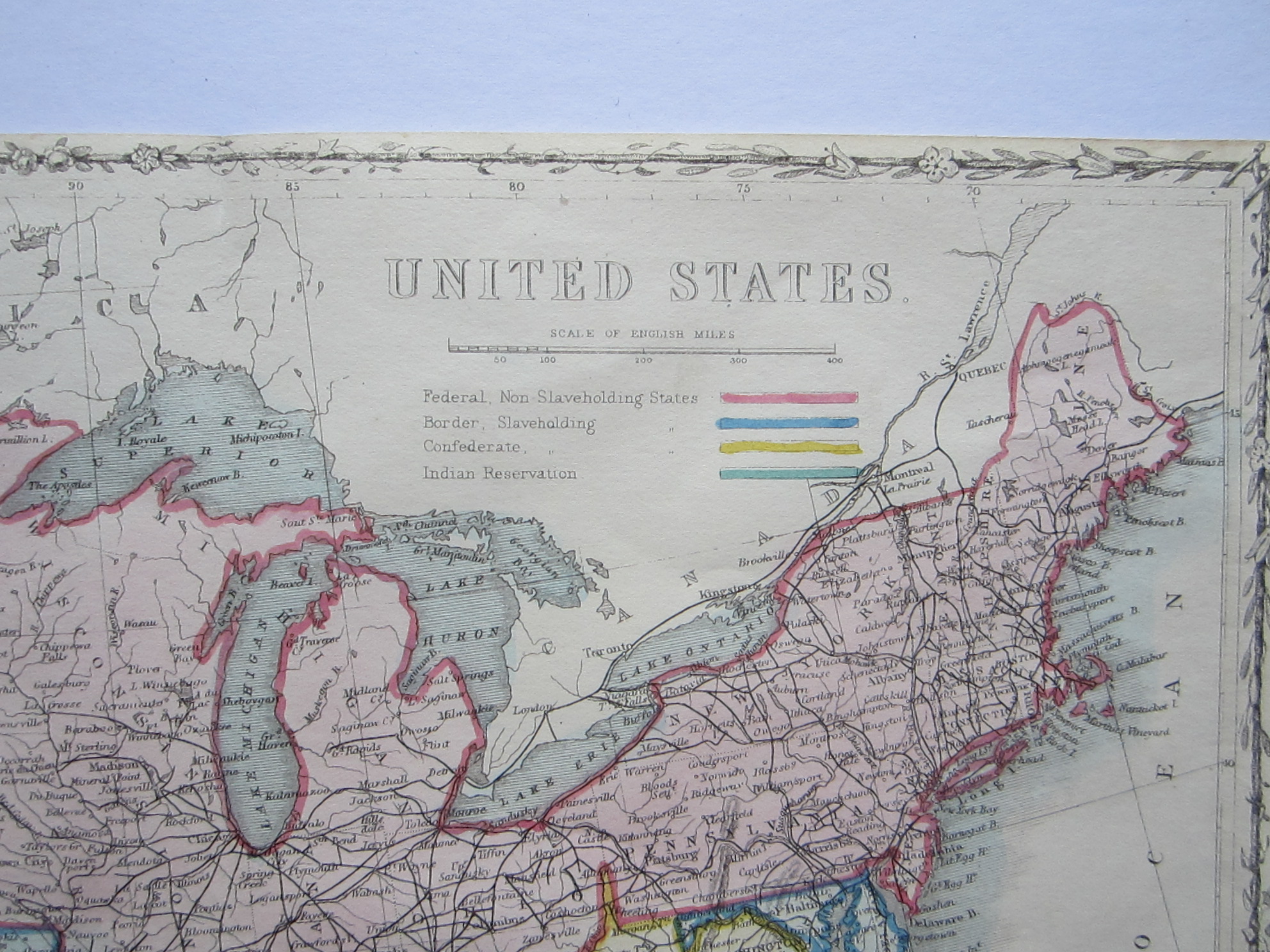
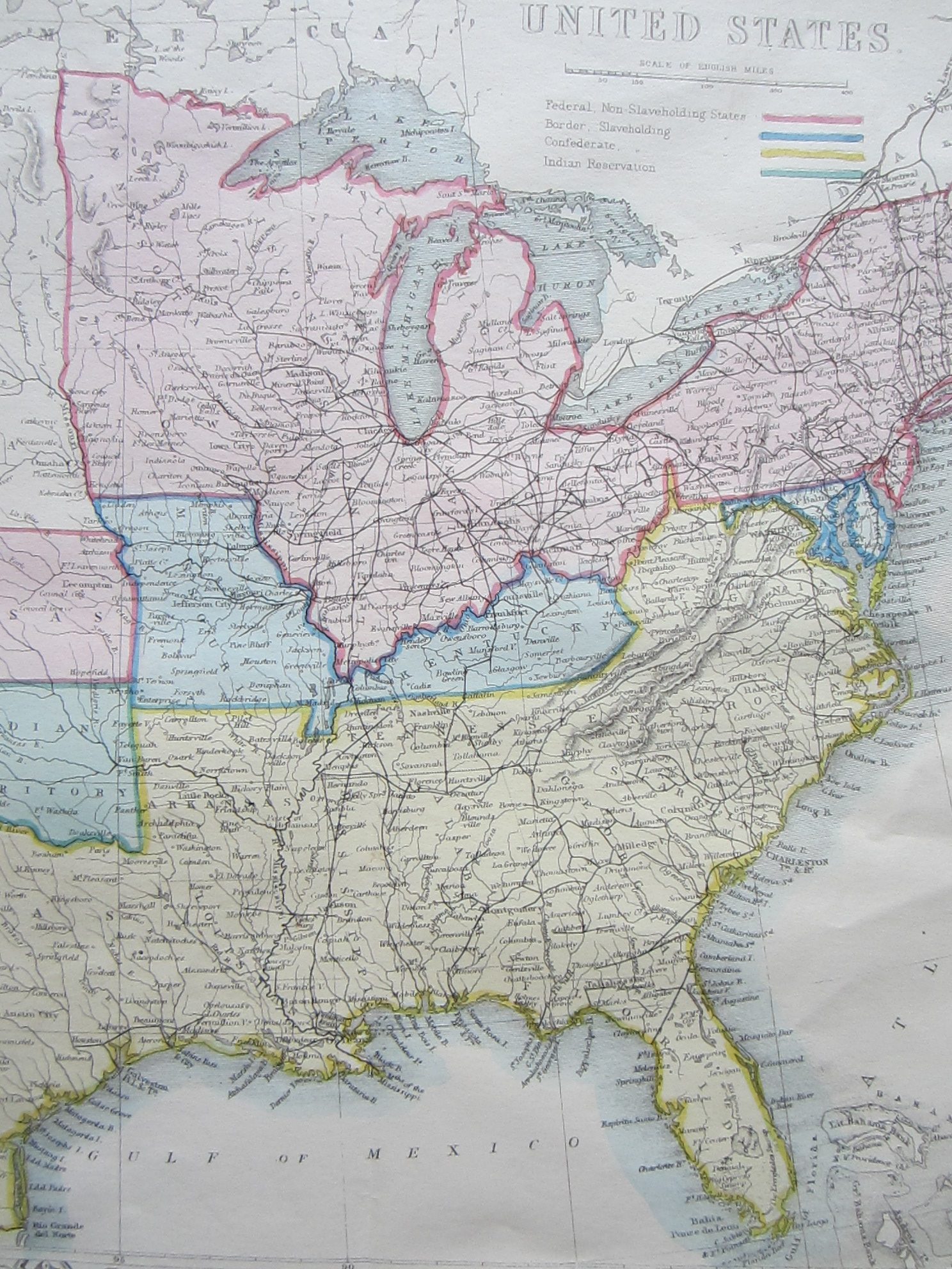
An attractive map of the United States by John Rapkin from thomas Wright’s ‘The Royal Dictionary-cyclopaedia for Universal Reference. Being a Complete Literary, Classical, Historical, Biographical, Geographical, Scientific and Technological Standard.’. The map shows different colouring for Federal, Non-Slaveholding States; Border, Slaveholding States and Confederate States, and Indian Reservations. With a small decorative border.
[ref: 4151] £200Related products
-

 Quickview
-

 Quickview
-

 Quickview
£600.00
Quickview
£600.00Bellin, Jacques Nicolas (1703-1772): Carte De La Californie d’Apres les obserations le plus exactes Pour servir a l’Histoire Generale des Voyages.
-
 Out of Stock
Quickview
Out of Stock
Quickview

Available on backorder
Reviews
There are no reviews yet.