

World – Mercator’s Projection – Tallis


World – Mercator’s Projection – Tallis
£200.00
1 in stock
Description
Tallis, J & F: The World on Mercator’s Projection
Tallis London & New York 1851
orig outline col. steel engraved map. 26 x 37 cm . From ‘The Illustrated Atlas…’, edited by R.M.Martin ; maps engraved by J.Rapkin; illustrations drawn and engraved by various artists; top slightly shaved, o/w vg cond.
This map is from the last highly decorative atlas produced in the Victorian era. The map is surrounded by scroll work and depicting various vignettes, showing topographical views, costumes and customs, and general scenes.
In this map, we see: Vesuvius, London, Gibraltar, Constantinople, The Pyramids of Gizeh, Niagara and Pont Neuf, Paris.
[ref: 3828] £200Related products
-

 Quickview
£500.00
Quickview
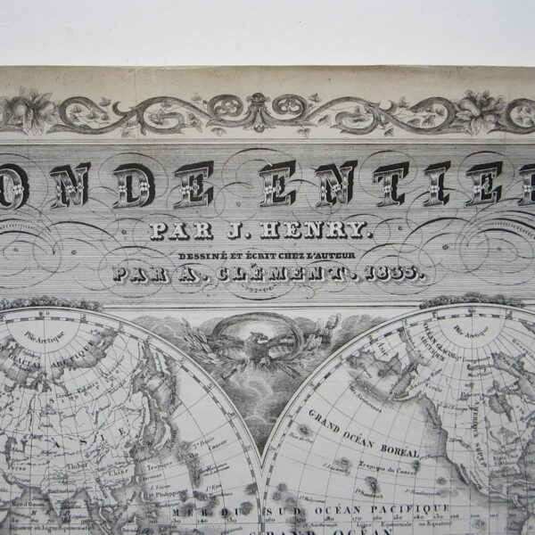
£500.00Henry, J/ Clement, A.: Monde Entier, Par J. Henry Dessine et Ecrit chez l’Auteur par A. Clement, 1835.
-

 Quickview
-

 Quickview
-

 Quickview

1 in stock
Reviews
There are no reviews yet.