

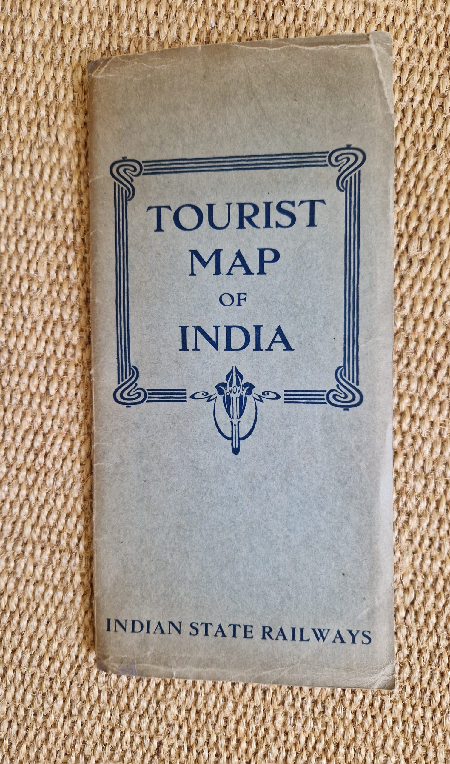
George Philip & Sons Ltd Tourist Map of India



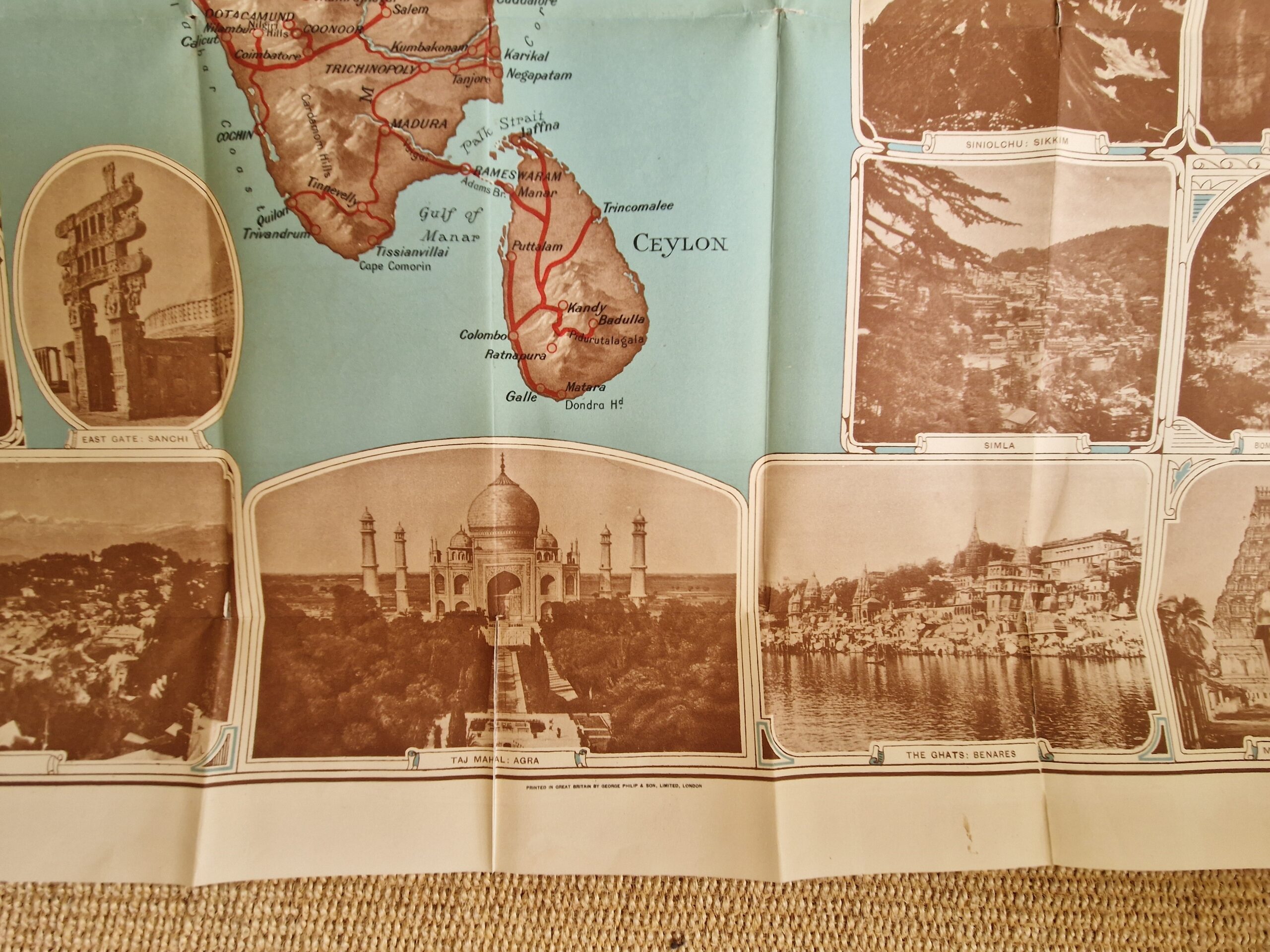
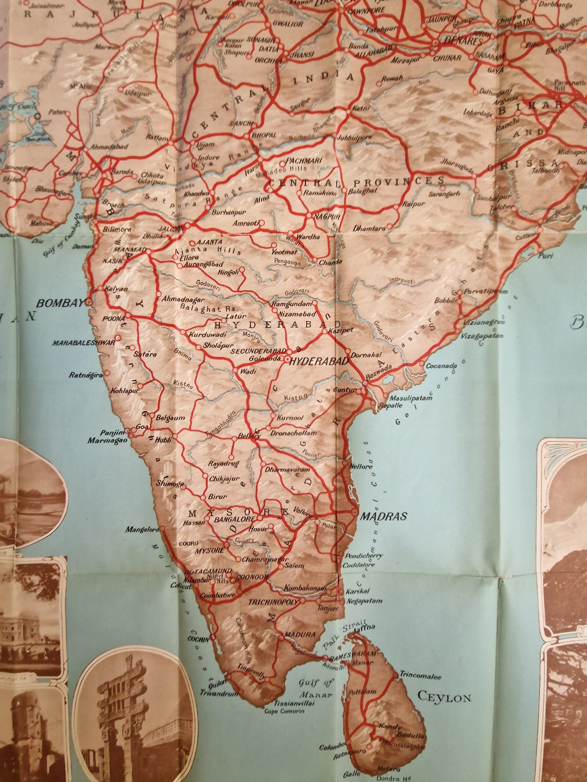

Asia – India – Ceylon – Sri Lanka – Folding map – Vintage
£700.00
Description
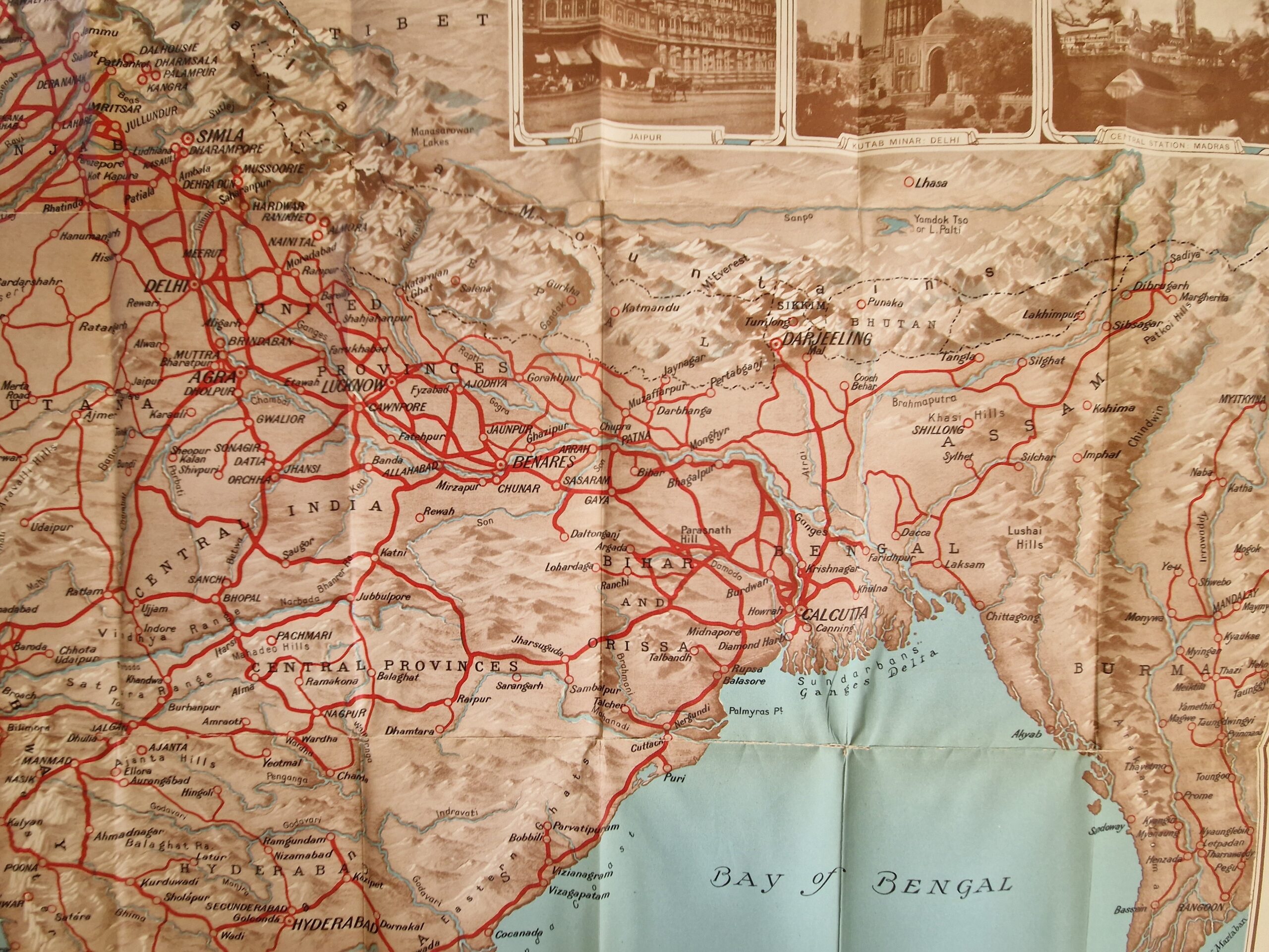
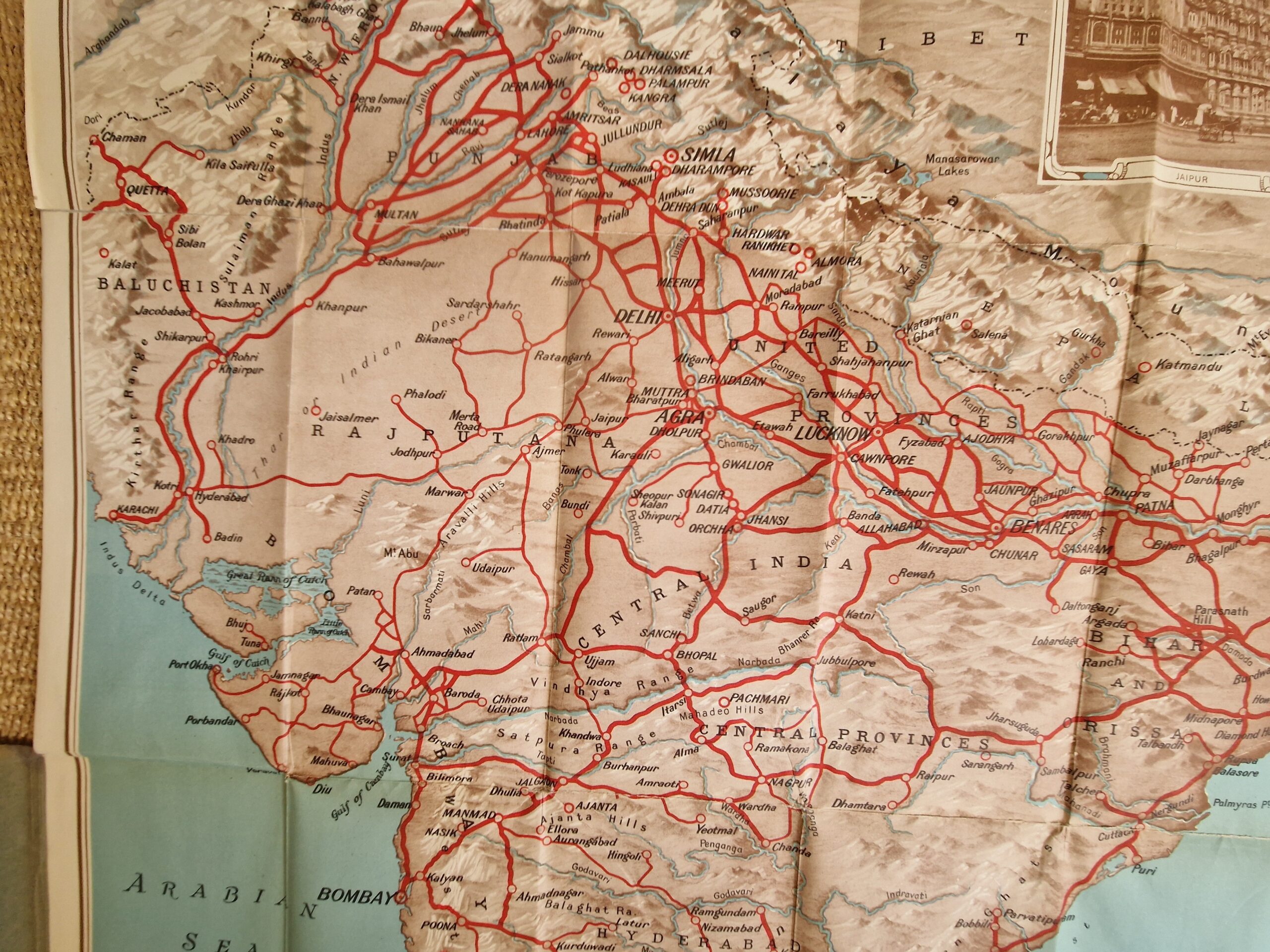
George Philip & Sons Ltd Tourist Map of India
George Philip & Sons Ltd London c1930
colour printed lithographed map, overall 102 x 75 cm, folds down to 23 x 10 cm. folds as issued; various smaller marginal tears, some into image with three tears c 8cm long; tears in crossfolds; most tears repaired with archival tape; o/w fair cond. paper cover with some wear and tear, frayed edges and discolouration; o/w g cond.
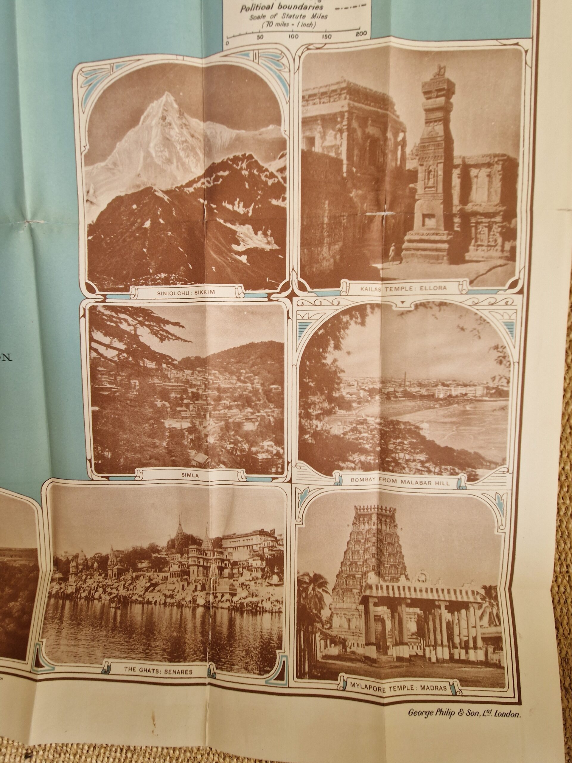
A very decorative map of India and Ceylon, surrounded by 9 pictures of monuments, which was published for the Indian State Railways. The map extents from Kashmir in the North to Ceylon/ Sri Lanka, and covers modern day Pakistan, India, Tibet, Burma/ Myanmar and Nepal.
[ref: 5067] £700Related products
-

 Quickview
-

 Quickview
-

 Quickview
-

 Quickview

Reviews
There are no reviews yet.