

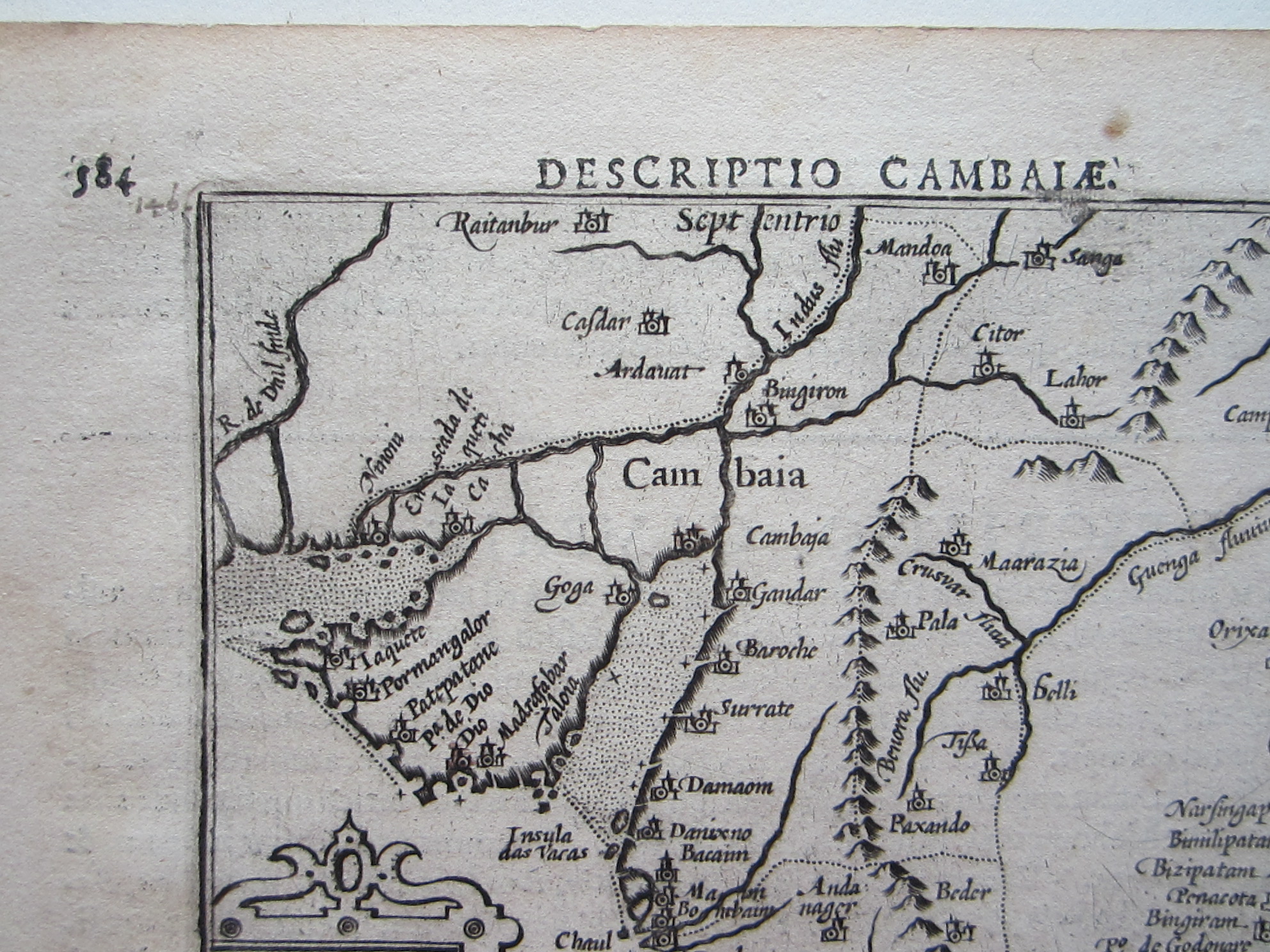
Bertius, Petrus (1565 – 1629) Cambaia/ Descriptio Cambaiae.

Asia – Pakistan – Northern India
£195.00
Description
Bertius, Petrus (1565 – 1629) Cambaia/ Descriptio Cambaiae.
Amsterdam c 1602
copper engraved ma; overall 12,7 x 8,6 cm; some off-set; very faint waterstain; edges slightly browned; o/w vg cond.
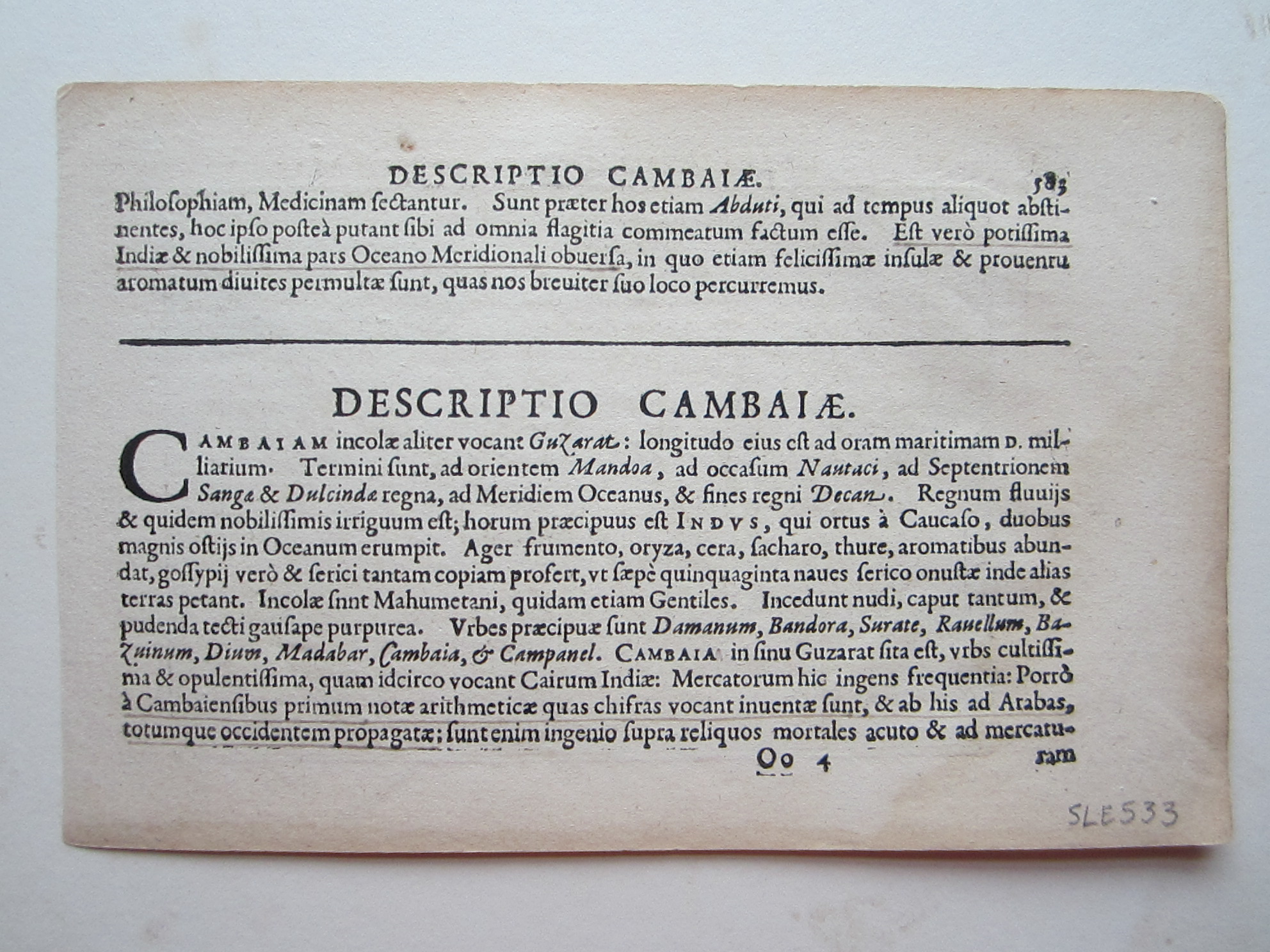
This very attractive map shows the Kingdom of Cambaia, encompassing the modern-day border between India and Pakistan and the Indus River valley. It features a fine strapwork title cartouche at bottom left. Latin text on verso. Published between 1602-06, in either the second or third edition of Claesz’s Tabulae Geographicae Contractae.
King (2nd ed.) pp. 80-82; Van der Krogt (Vol. III) #8310:341.
[ref: 4752] £195Related products
-

 Quickview
£225.00
Quickview
£225.00Homann, Johann Baptista (1664 – 1724): Carte nouvelle de L’Isle de Cadix & du Detroit de Gibraltar….
-

 Quickview
-

 Quickview
-

 Quickview

Reviews
There are no reviews yet.