

Ordnance Survey Office n.t. – Durham & Weardale





England – Durham – Weardale – Geological Map – Curiosity – Folding map
£350.00
Description
Ordnance Survey Office n.t. – Durham & Weardale
Ordnance Survey Office 1881
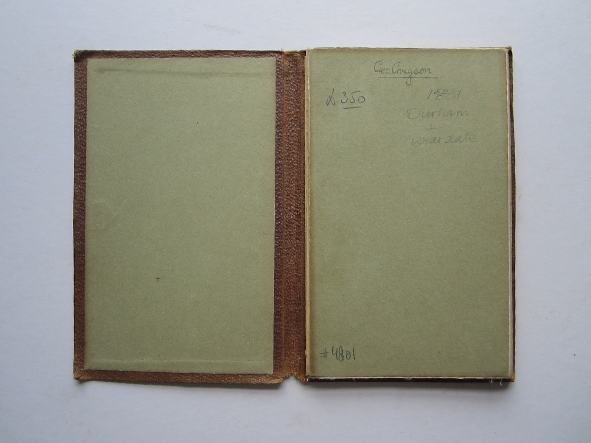
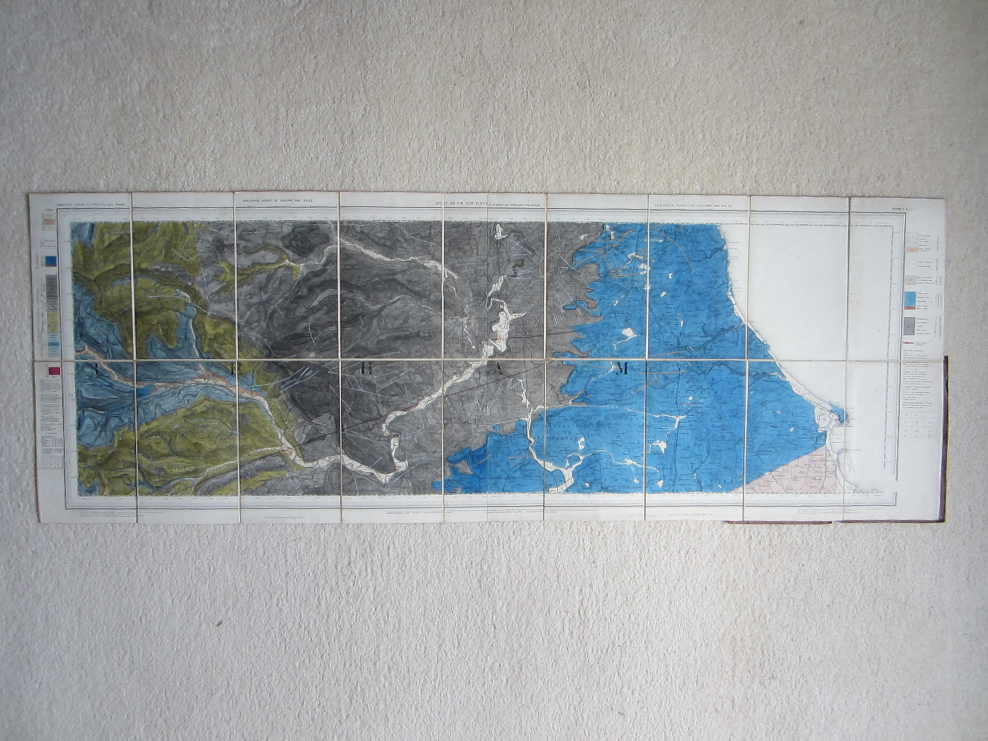
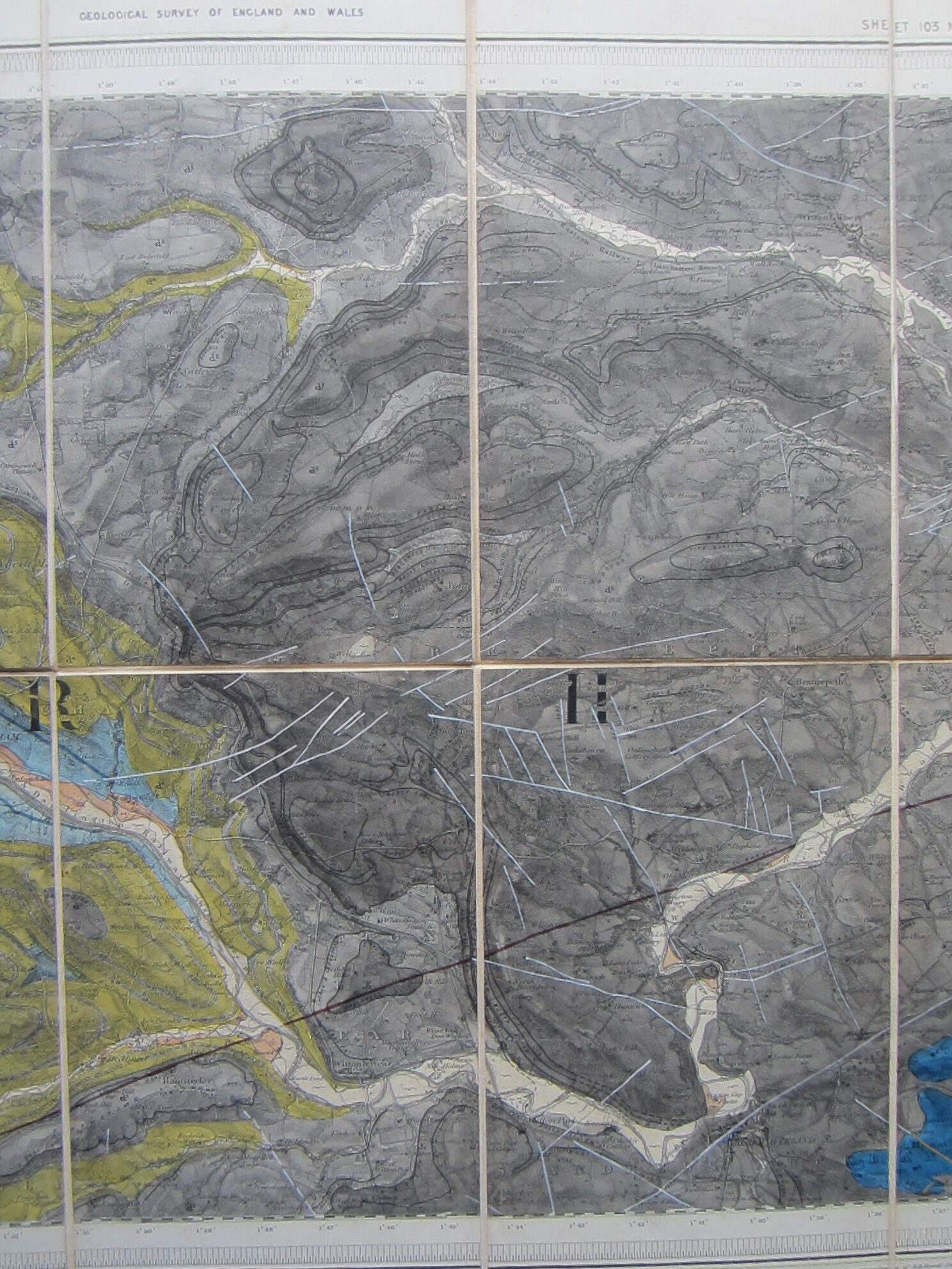
steel engraved coloured folding map; overall 37 x 103 cm, 18 sections; on cloth, paper slightly lifting off in some places; some dusting and soiling; some tears in folds; on verso, some spotting; some line hand written annotations within the map in gold, white and red; o/w vg cond. brown cloth cover, 19 x 12 cm, some wear and tear, hand written annotations inside cover; o/w g cond.
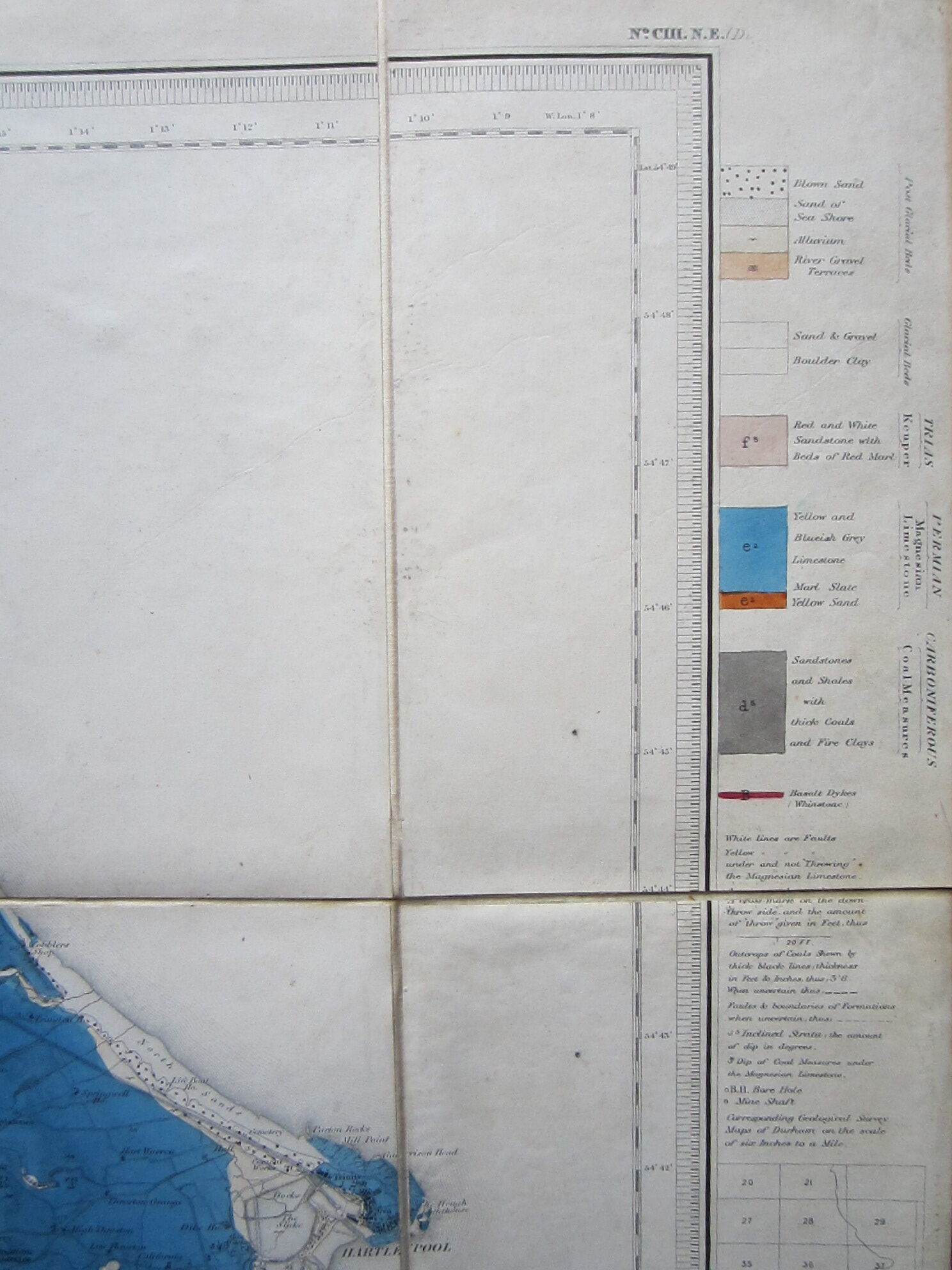
A very detailed geological map of Durham and Weardale (Stanhope – Hartlepool, Kimblesworth – Bishop Auckland) , showing the various rock formation and coal fields. Explanations to both margins.
[ref: 4801] £350Related products
-

 Quickview
-

 Quickview
-

 Quickview
-
 Quickview

Reviews
There are no reviews yet.