

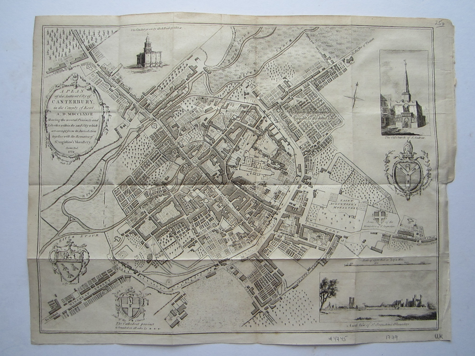
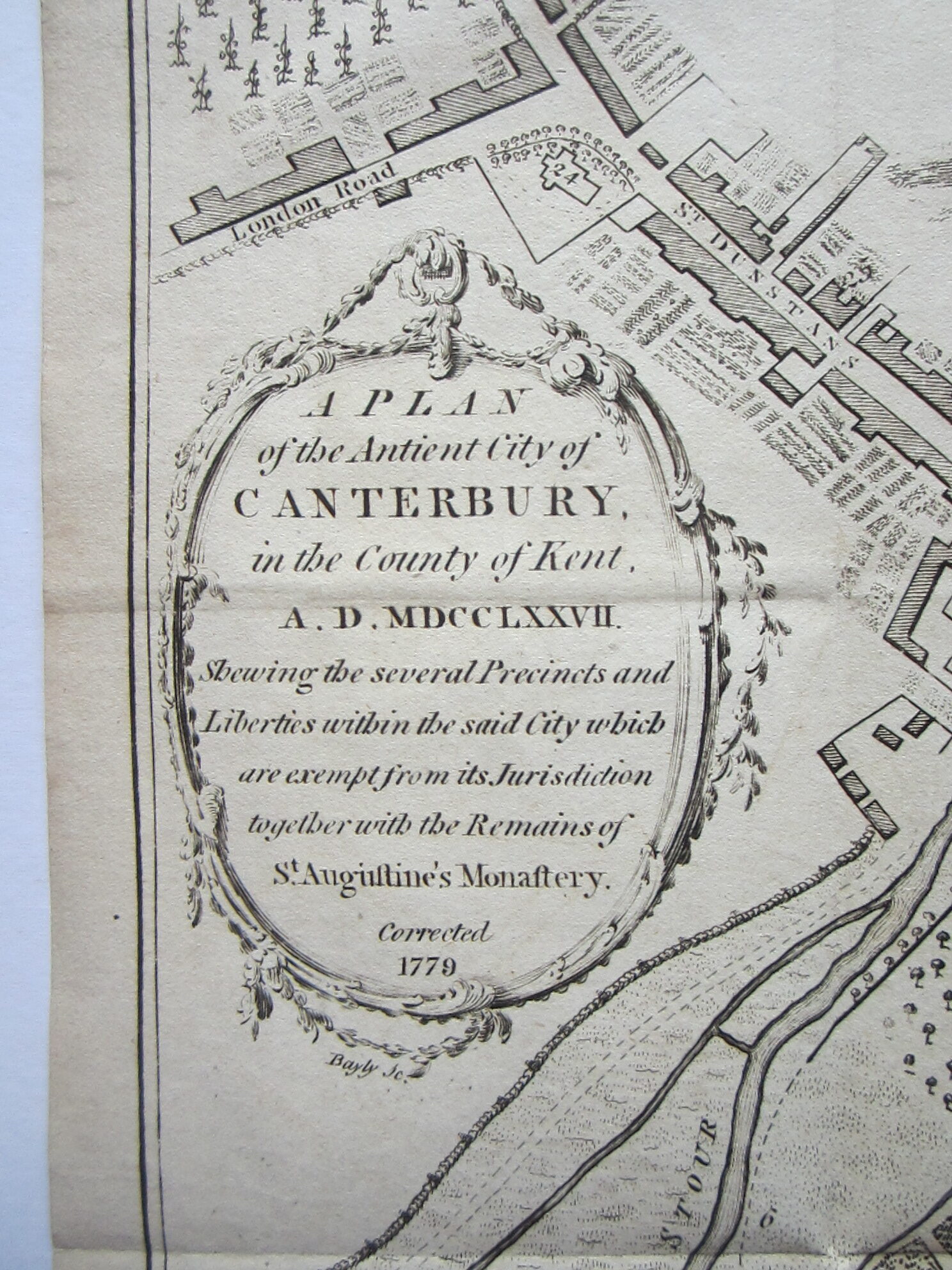
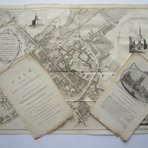
Gostling, William A Plan of the Ancient City of Canterbury in the County of Kent A.D. MDCCLXXVII



England – Kent – Canterbury
£250.00
Description
Gostling, William A Plan of the Ancient City of Canterbury in the County of Kent A.D. MDCCLXXVII
Simmons & Kirkby & Flackton Canterbury 1779
copper engraved map; overall 32 x 42 cm; no distinctive platemarks, folds as issued; a small repaired marginal tear; repaired tear in cross fold; some discolouration; plate slightly rubbed in places; small ink spot on verso; o/w vg cond.
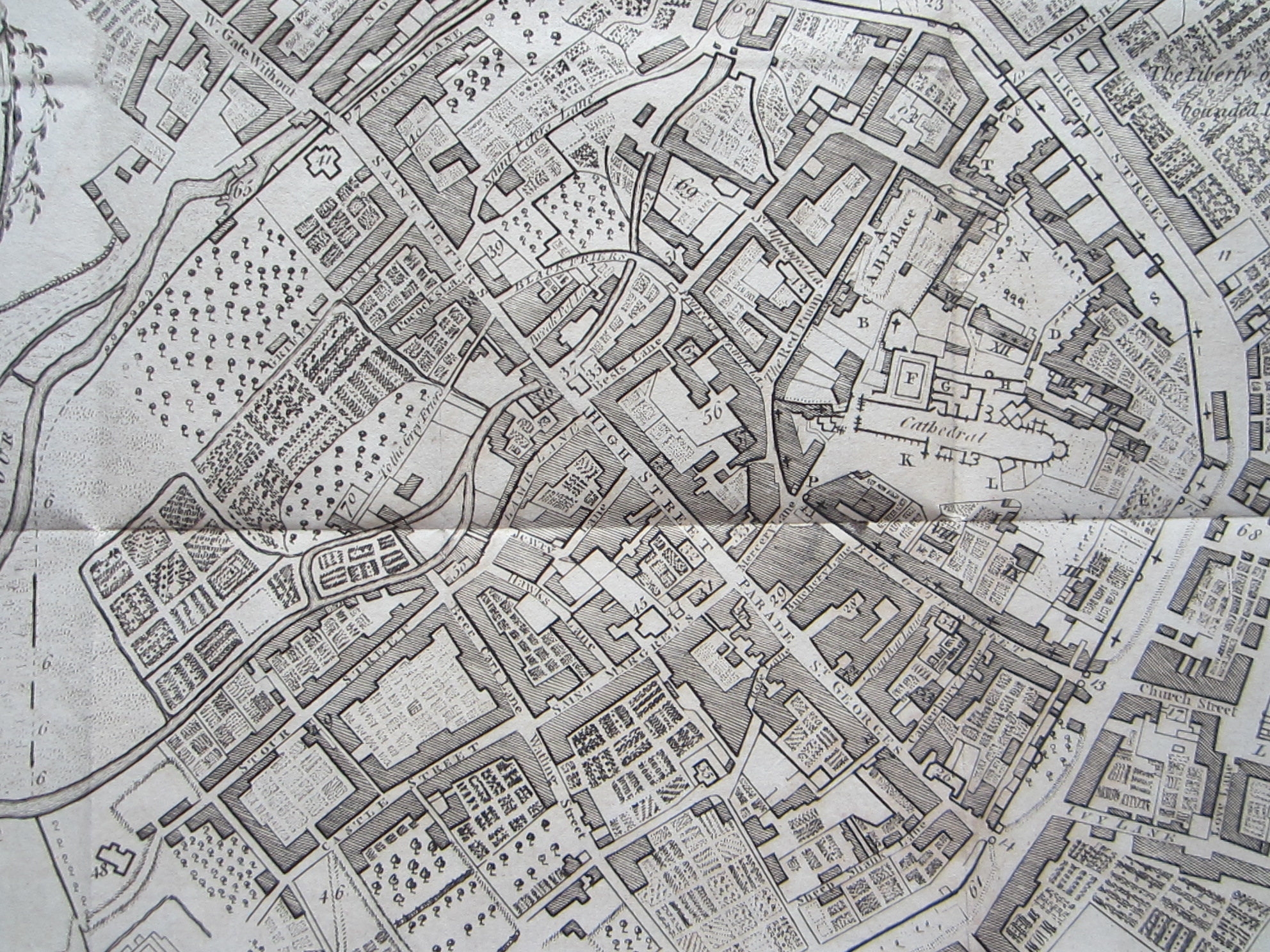
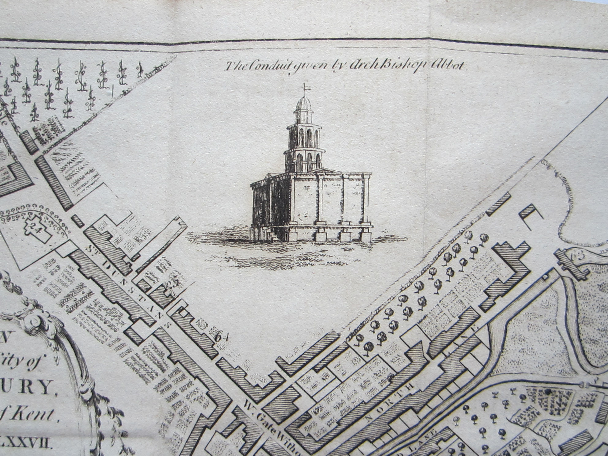
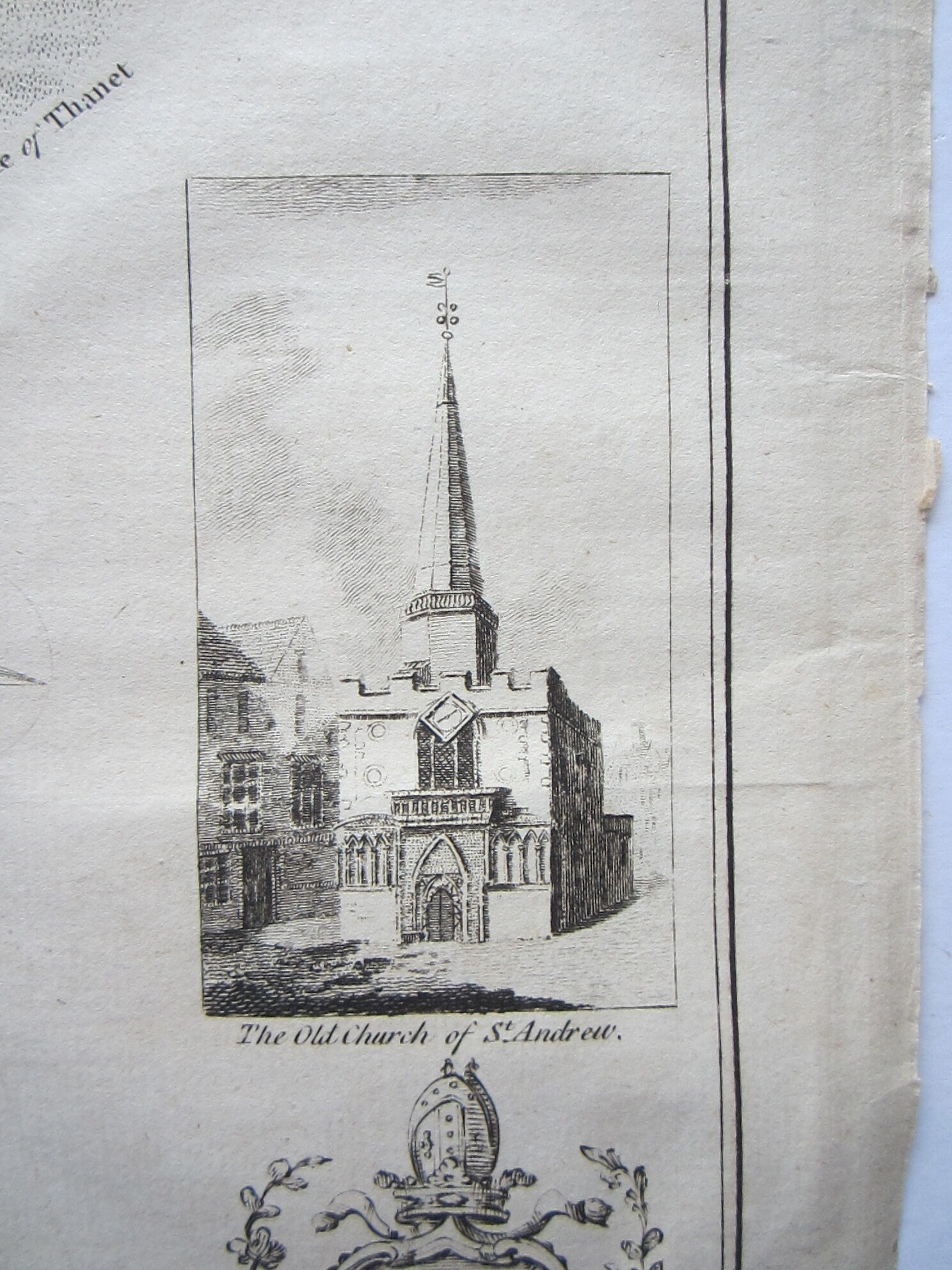
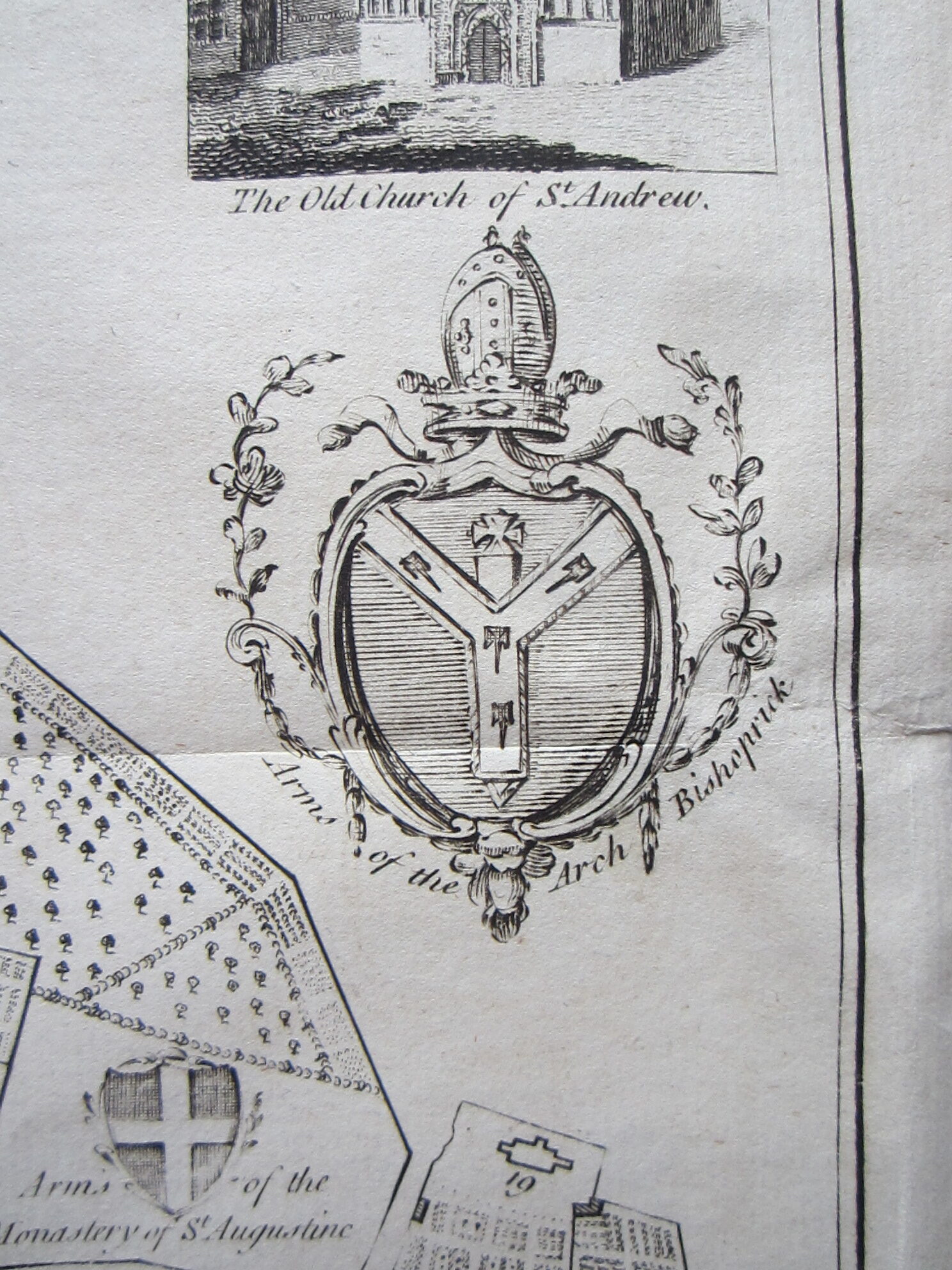
A very attractive and detailed plan of Cambridge, published in Gostling’s ‘Walk in and about the City of Canterbury’. With two insets of ‘The Old Church of St. Andrew’ and ‘North View of St. Augustine’s Monastery’, two coat-of-arms and a decorative cartouche with scroll work.
Gostling’s work was first published in 1774 with a later publication in 1825 (see BL: BLL01014811903). – It seems that this map is based on a map by Doidge/Hilton of 1752 which is larger (58.3 x 75.0 cm) and shows an extensive key (see BL 004814680); the two insets are missing and there is a third coat-of-arms; the cartouche is in a different style.
[ref: 4745] £250Related products
-
 Quickview
-

 Out of Stock
Quickview
Out of Stock
Quickview
-

 Quickview
-

 Quickview
Reviews
There are no reviews yet.