

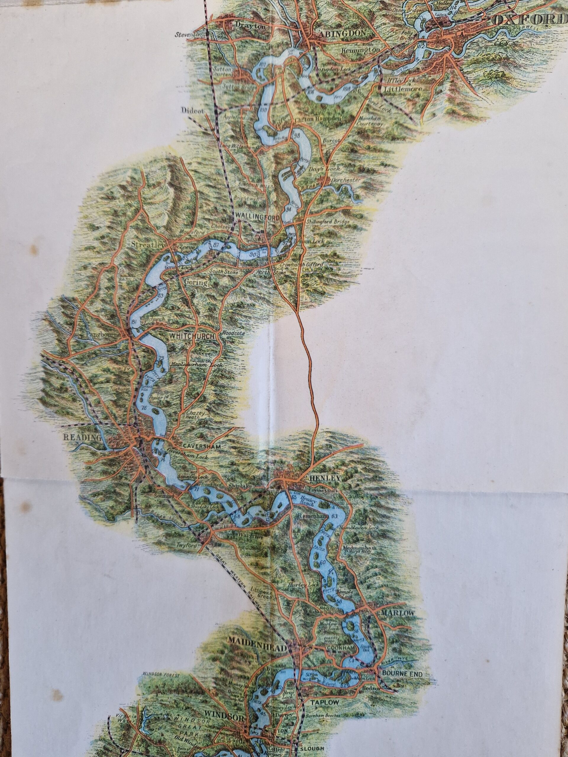
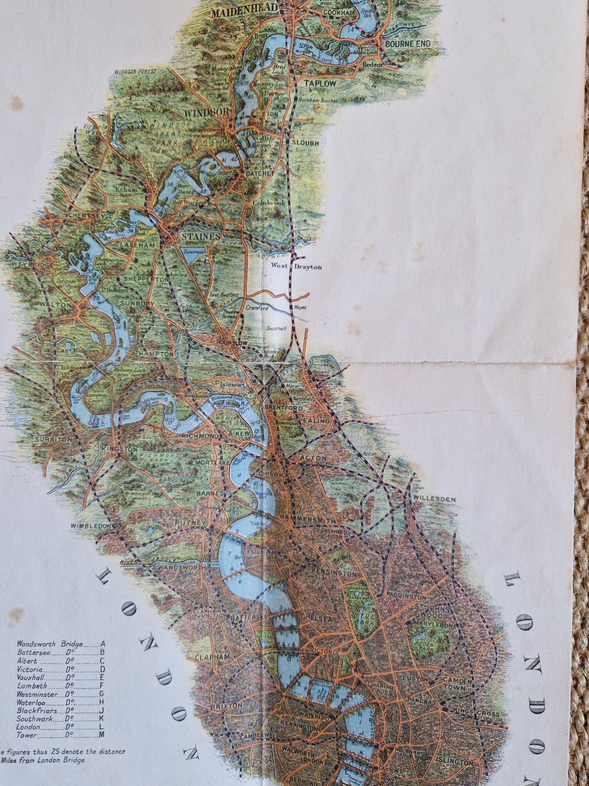
Gross, Alexander “Geographia” Pictorial Map of the Thames Valley by Alexander Gross, FRGS, Published by “Geographia” Ltd., 55, Fleet Str., London, EC4.

England – Thames – River map – Folding map – Pictorial map
£200.00
Description
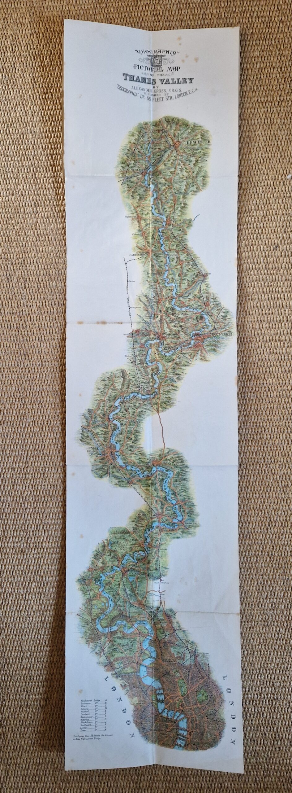
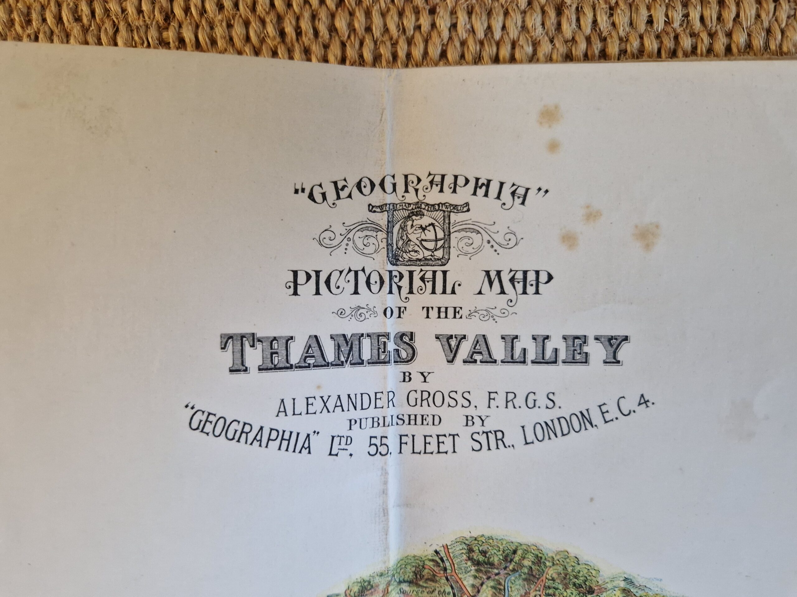
Gross, Alexander “Geographia” Pictorial Map of the Thames Valley by Alexander Gross, FRGS, Published by “Geographia” Ltd., 55, Fleet Str., London, EC4.
“Geographia” Ltd. London c1942
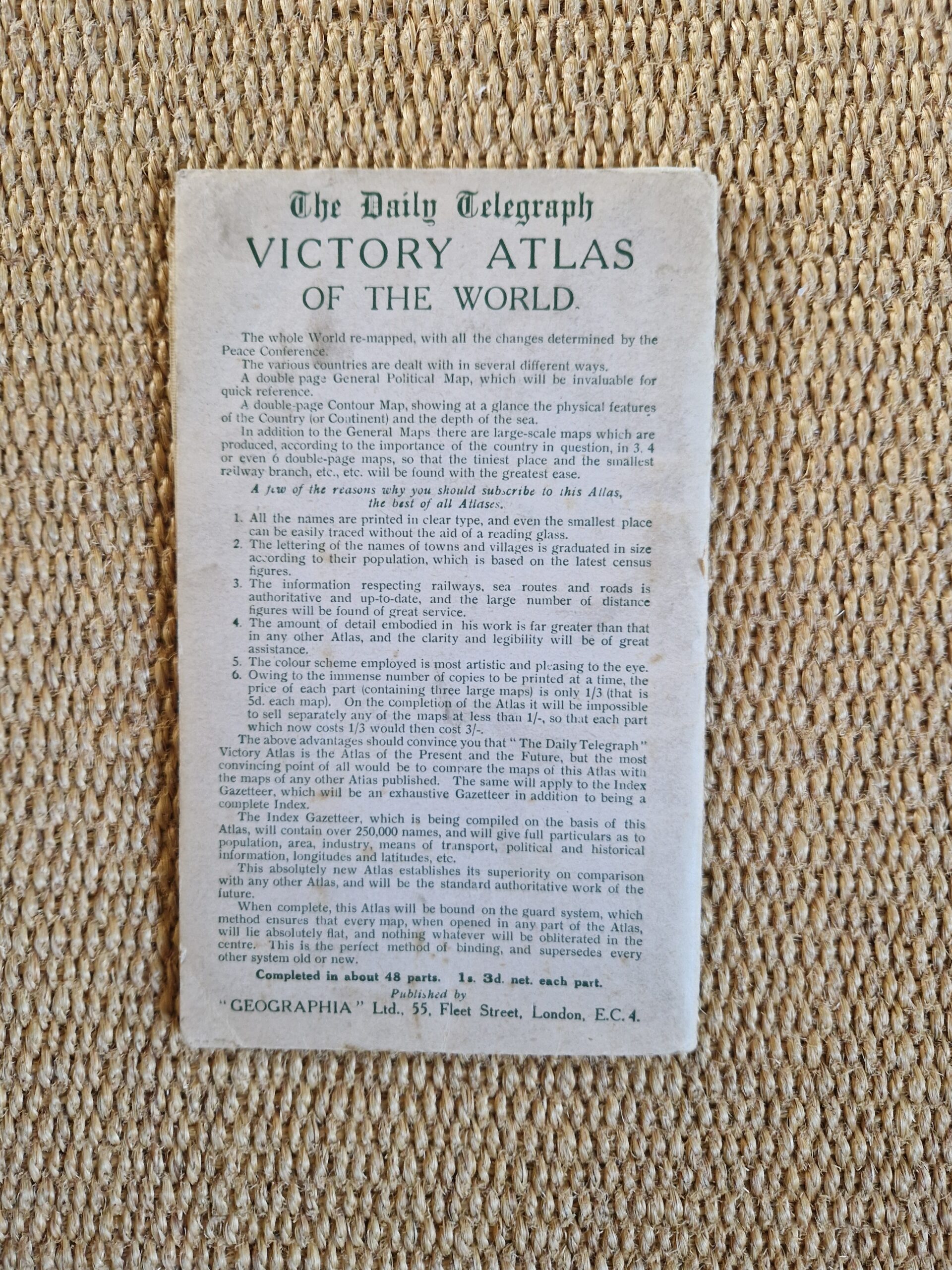
colour printed folding map; overall 93 x 22 cm. folds as issued; folds down to 18 x 11 cm; pasted on cloth. some foxing; some minimal tears in folds; some slight creases; o/w g cond. grey paper cover, some wear and tear, some paper abrasion; o/w g cond.
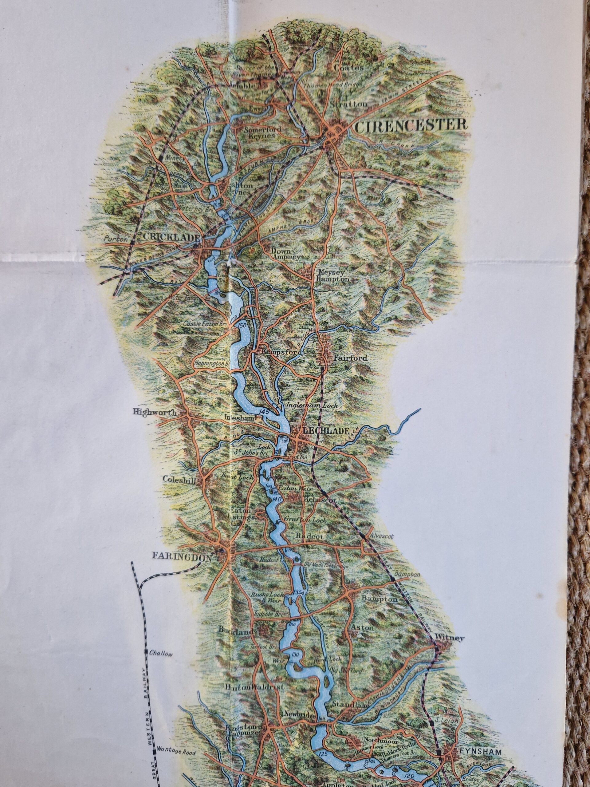
A very charming pictorial map of the River Thames from Cirencester to Bermondsey, London. The map shows cities, towns and villages along the way as well as locks, roads and railways.
[ref: 5086] £200Related products
-

 Quickview
-

 Quickview
-

 Quickview
-

 Quickview

Reviews
There are no reviews yet.