

Clark, Estra (1904-1993) Historic York



England – Yorkshire – York – pictorial map
£125.00
Description
Clark, Estra (1904-1993) Historic York
Ben Johnson & Co Ltd York 1947
colour printed map; overall 38 x 45 cm, image 34 x 43 cm, two horizontal creases along top and lower margin not affecting image; 4 small pin holes in margin corner; a few small tears in top and lower edges not affecting image; o/w vg cond.
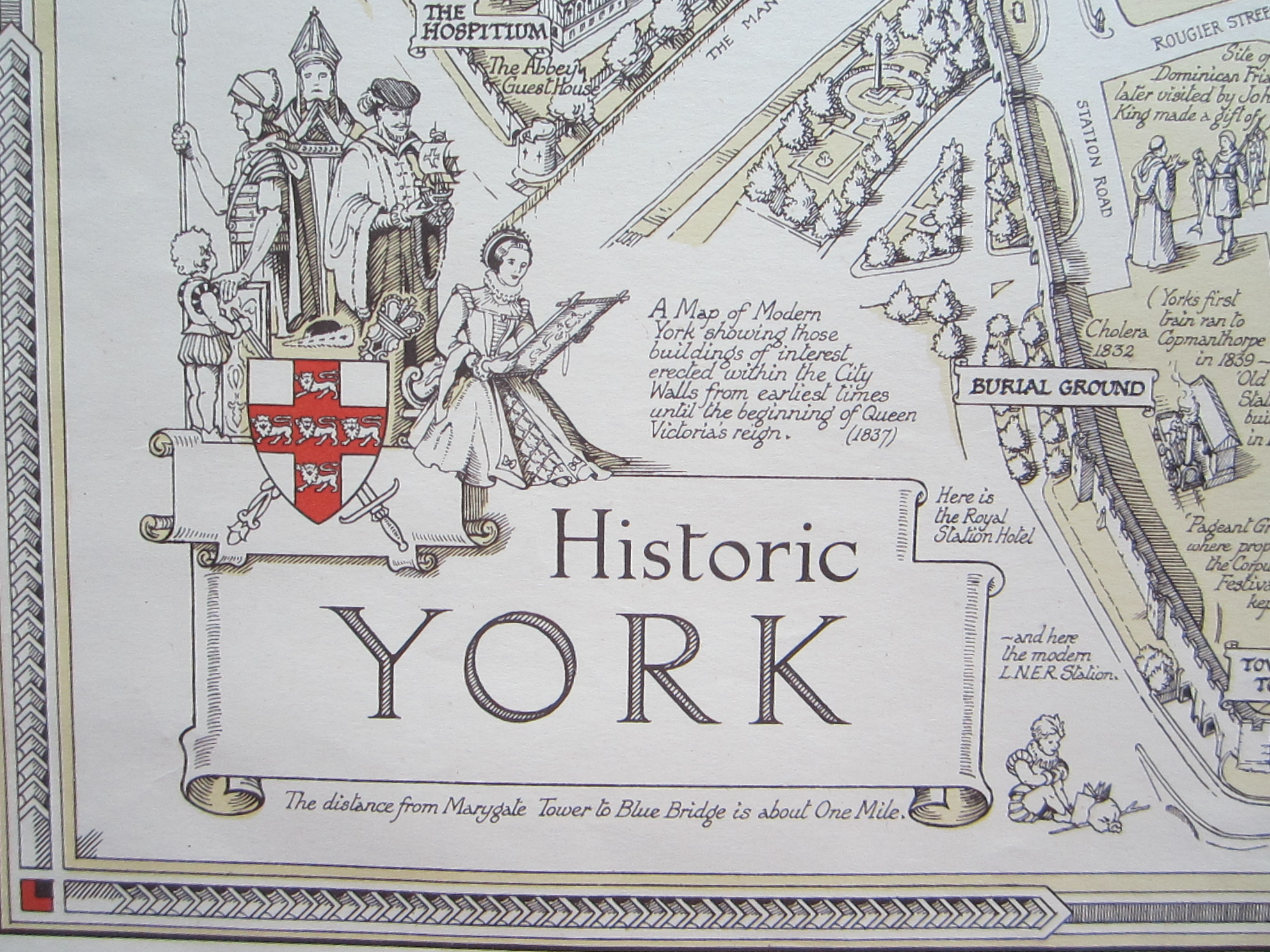
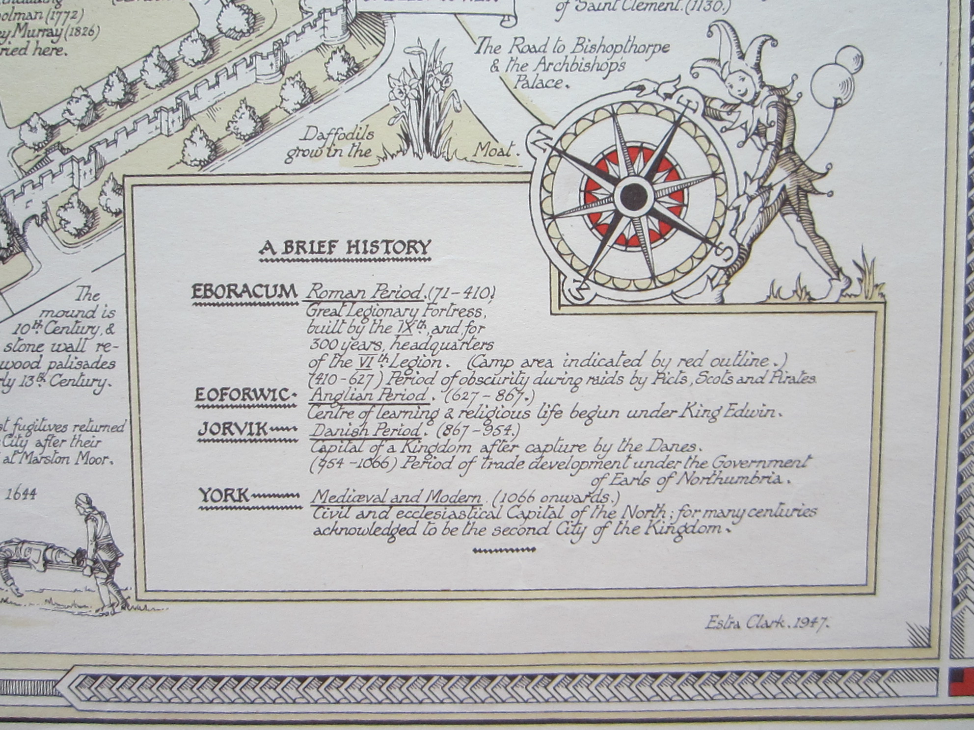
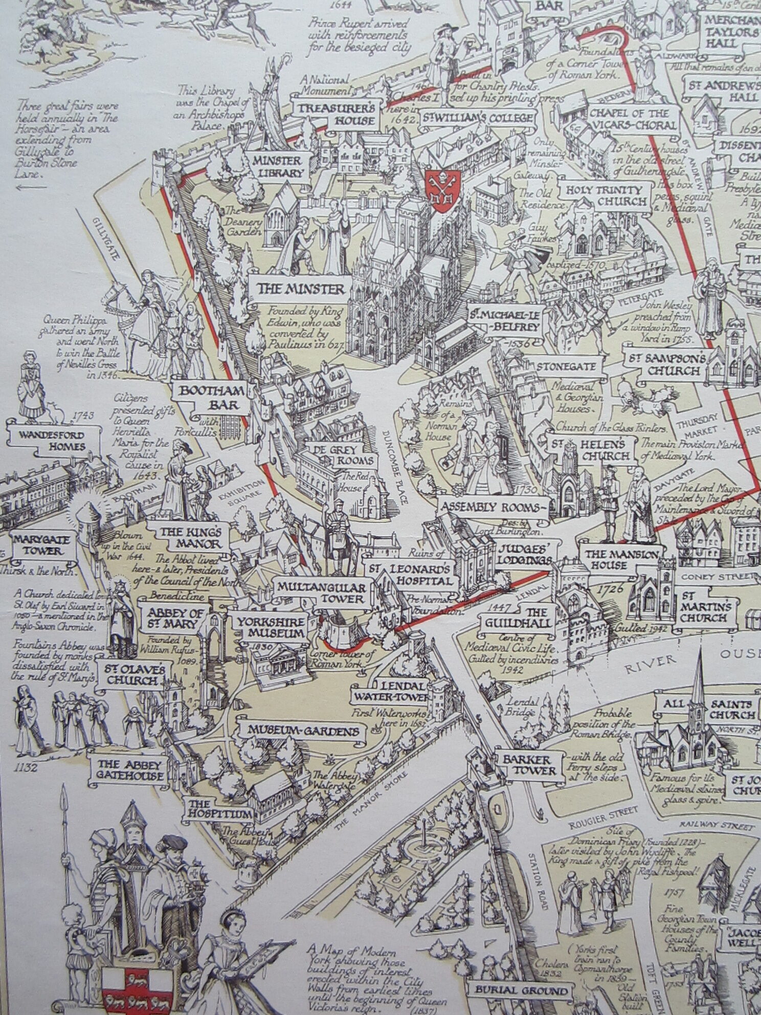
A very charming map of Historic York by Estra Clark which shows sites, events and people from Roman times to early 19th century, the beginning of the reign of Queen Victoria as well as the city walls. There is a small vignette with ‘A Brief History’ to the lower right hand, decorated with a jester and a windrose. In the lower left corner is the title cartouche, embellished with historical figures as well s the coat-of-arms of York. The map is framed by a decorative border.
Clark did several historic maps of English towns and regions as well as an Old Testament map of the Holy Land. She was born and bred in York and worked as a mapmaker, commercial artist and a school teacher.
There are two versions of this map: one was printed in full colour, the other printed in 3 colours.
[ref: 4688] £300Related products
-

 Quickview
-

 Quickview
-

 Quickview
-

 Out of Stock
Quickview
Out of Stock
Quickview

Reviews
There are no reviews yet.