

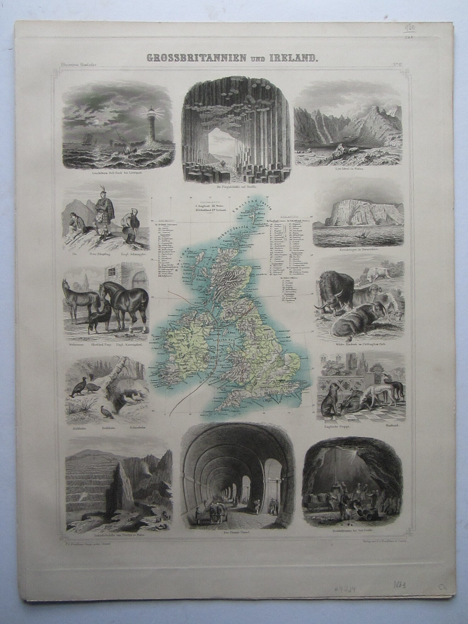
Brockhaus, F.A. Grossbritannien und Irland


Europe – Great Britain – Ireland
£180.00
Description
Brockhaus, F.A. Grossbritannien und Irland
F.A. Brockhaus Leipzig 1863
steel engraved map with partial colouring; overall 52 x 40 cm, image 43 x 33,5 cm. slightly thumbed, marginal waterstain; o/w vg cond.
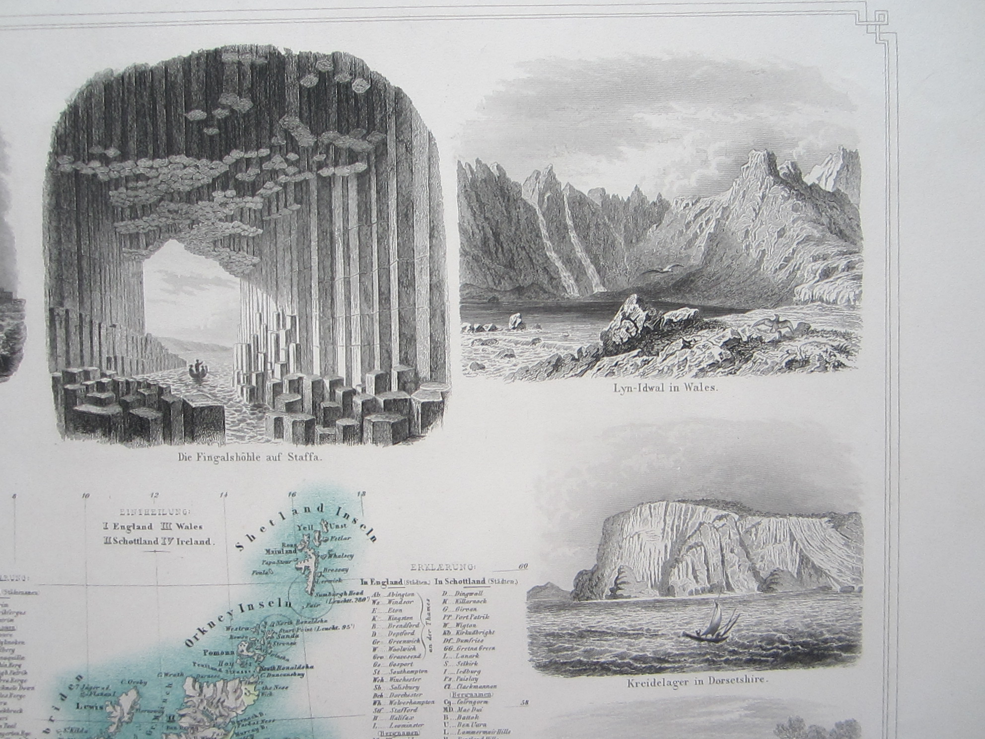
A very attractive map of Great Britain and Ireland, with various vignettes around the map.
From ‘Illustrirter Handatlas für Erdkunde und zum Gebrauch beim Unterricht.’
[ref: 4724] £180Related products
-

 Quickview
£225.00
Quickview
£225.00Homann, Johann Baptista (1664 – 1724): Carte nouvelle de L’Isle de Cadix & du Detroit de Gibraltar….
-

 Quickview
-

 Quickview
-

 Quickview

Reviews
There are no reviews yet.