

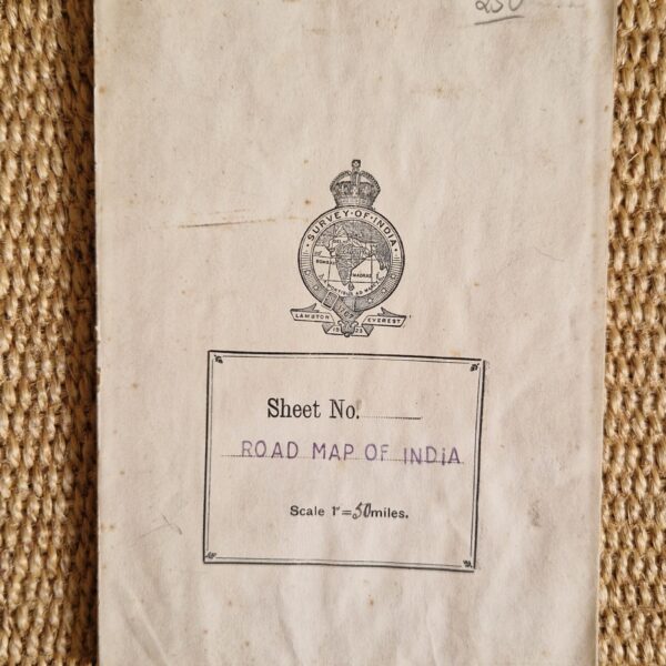
Survey of India Road Map of India – 1942 edition





India – Folding map – Vintage maps
£100.00
Description
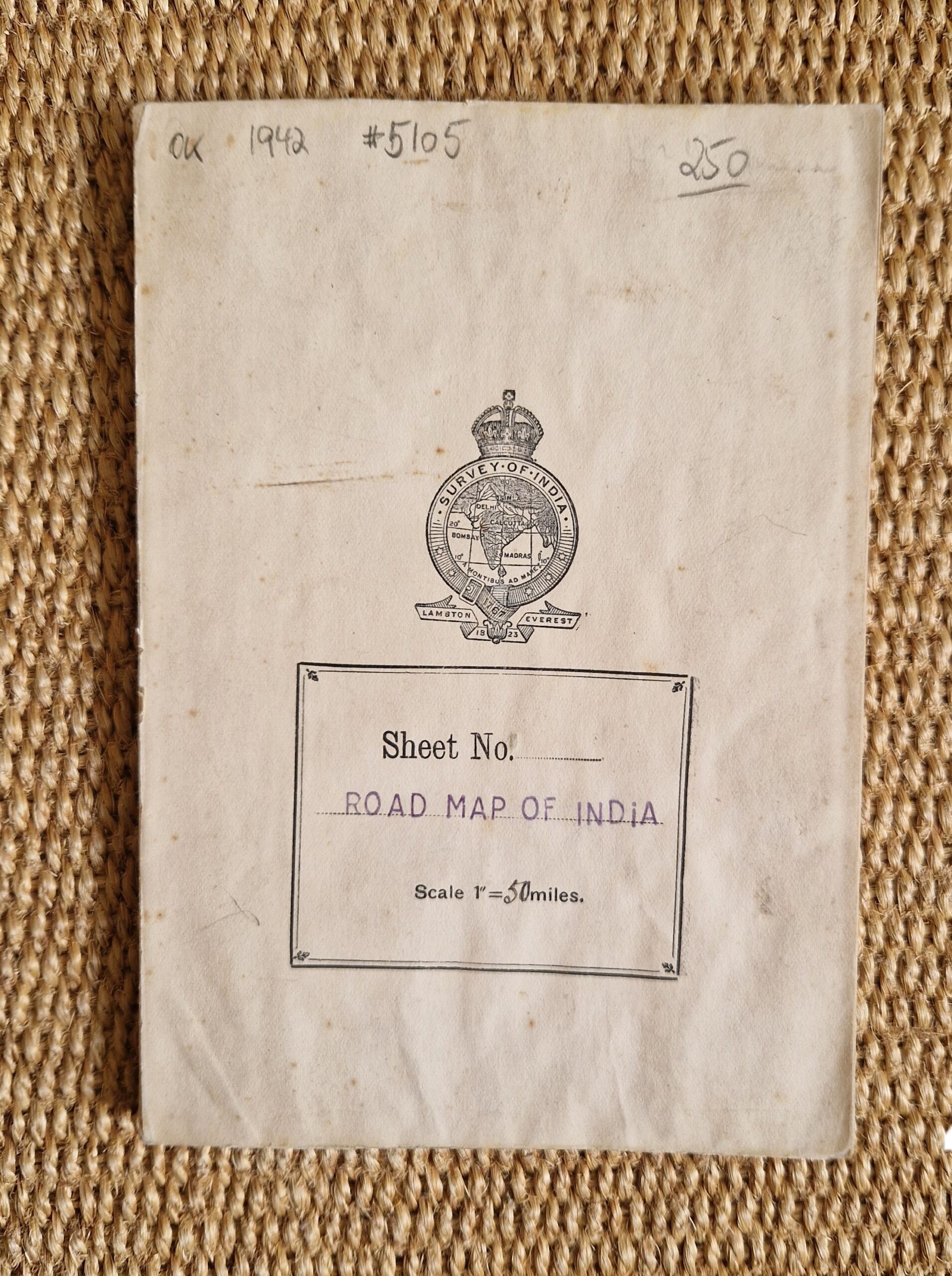
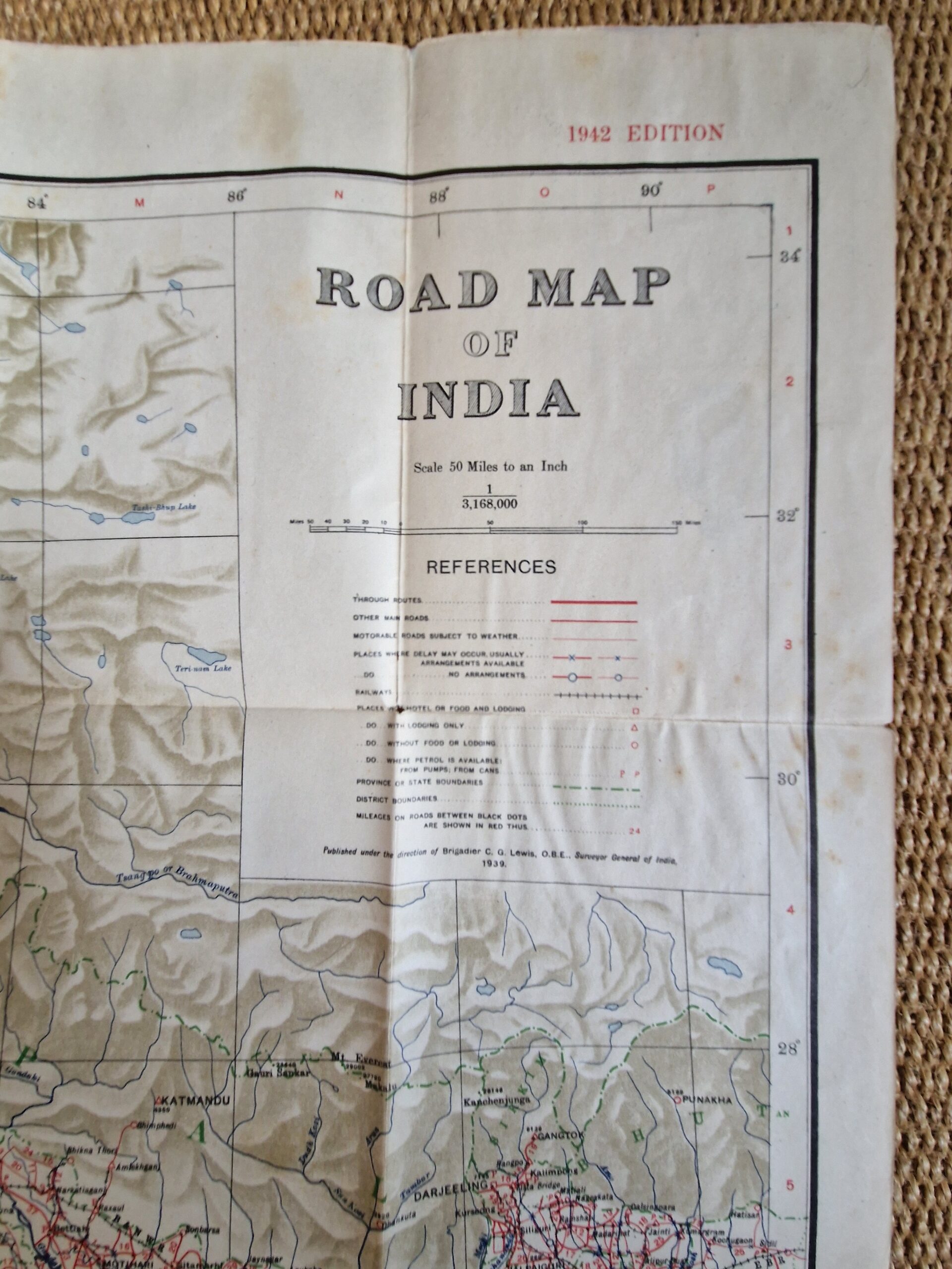
Survey of India Road Map of India – 1942 edition
Survey of India Calcutta 1942
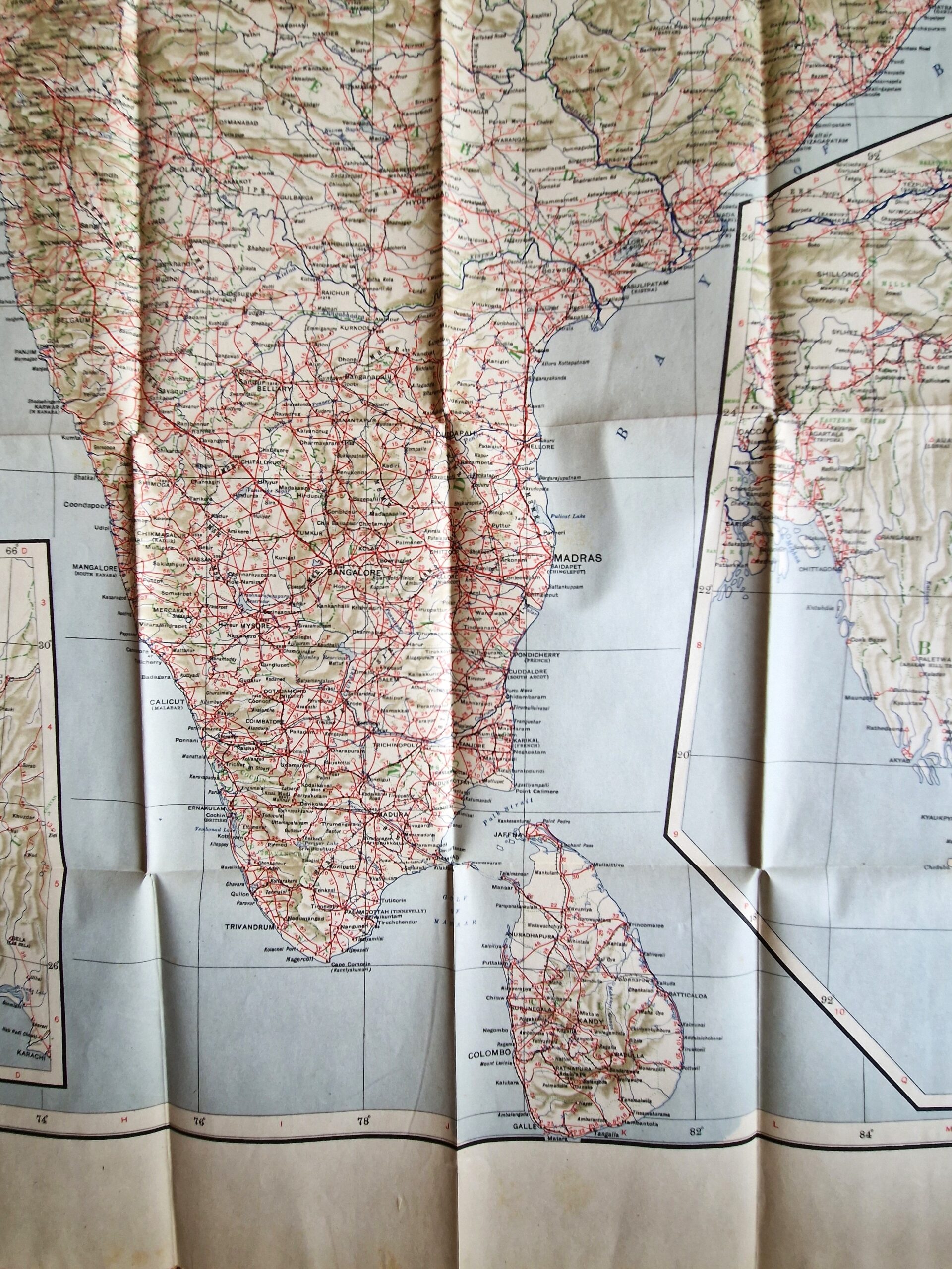
colour printed folding map; overall 110 x 77 cm, folds down to 18 x 13 cm; paper cover; some slight foxing; some small holes in crossfolds; some minor marginal tears; o/w vg cond.
A very detailed map of India’s road system. First published in 1926. The map shows all of India with Ceylon, and two insets of Afghanistan, and Mandalay and Rangoon.
[ref: 5105] £100Related products
-
 Quickview
-

 Quickview
-

 Quickview
-

 Quickview
Reviews
There are no reviews yet.