

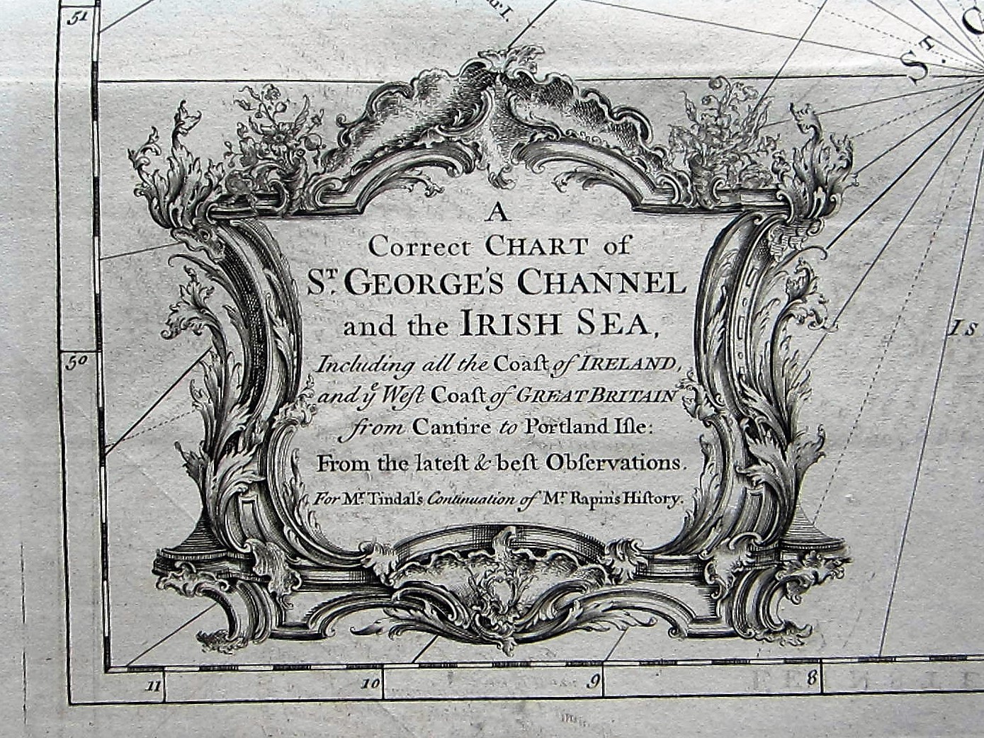
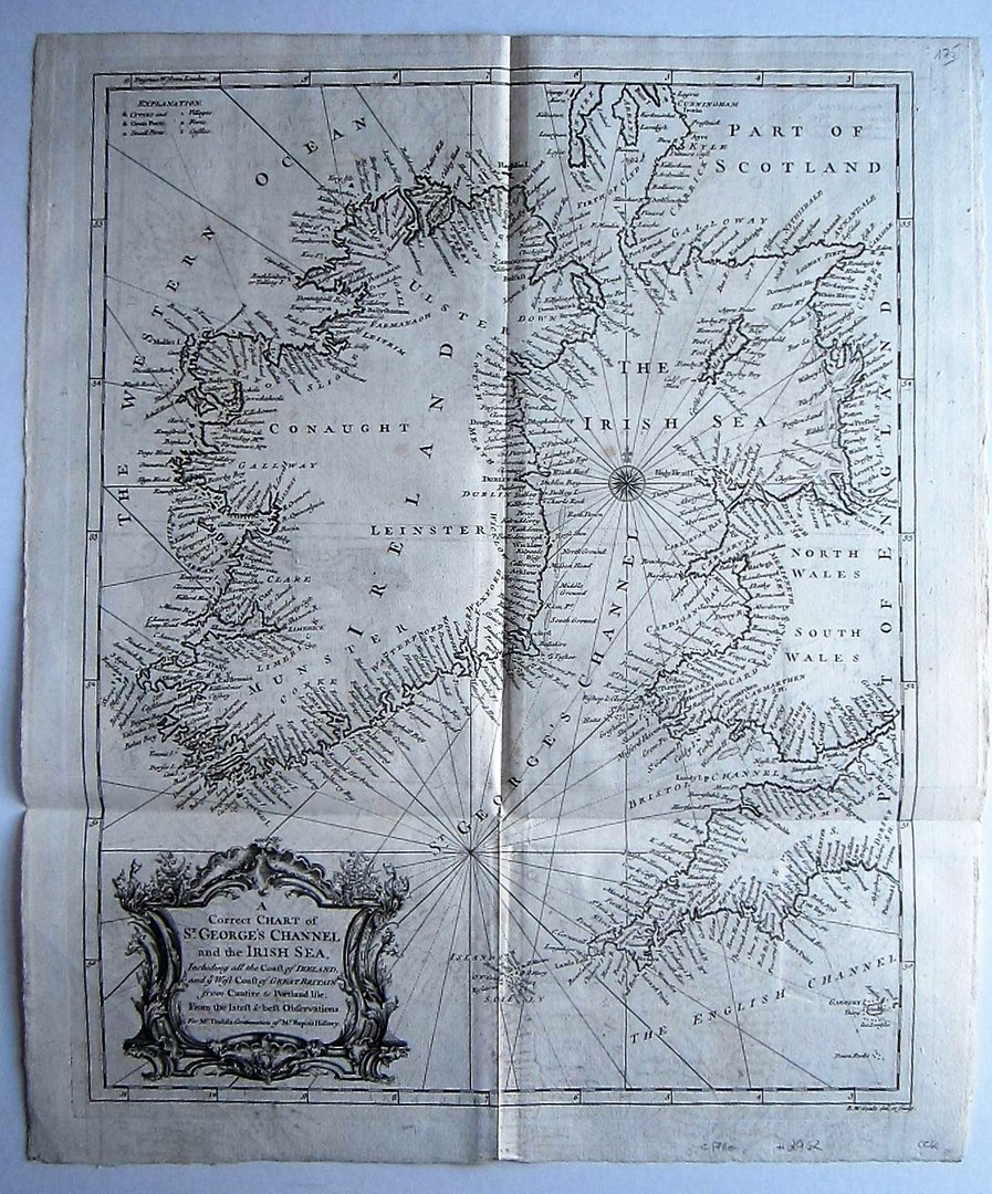
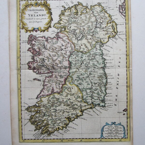
GB – Ireland – Seale: A Map of the Kingdom of Ireland.
Ireland – Seale
£175.00
1 in stock
Description
Tindal/ Rapin:GB – Ireland – coast line: A Map of the Kingdom of Ireland.
London c1745
copper engraved map; overall size 51 x 43 cm; plate size 49 x 39 cm.
Detailed map of the coasts of Ireland, part of Scotland and England. From ‘Mr. Tindal’s Continuation of Mr. Rapin’s history of England’, with maps engraved by R.W. Seale.
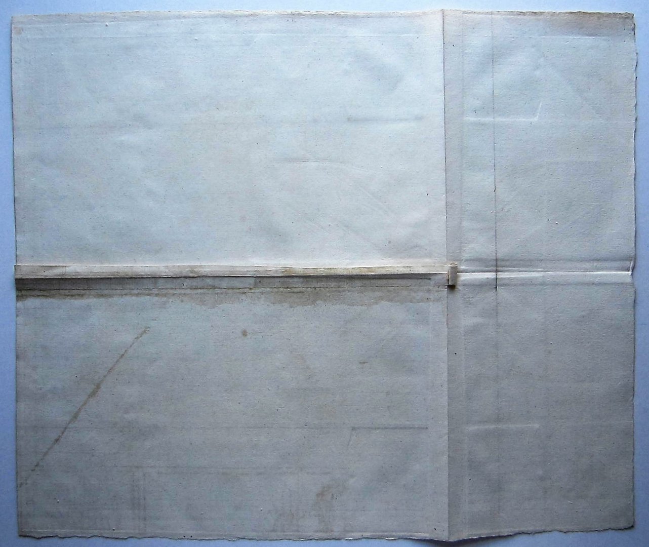
Folds as issued; edges slightly frayed as isued; paper evenly toned; some off-set; o/w exc. cond.
Related products
-

 Quickview
-

 Quickview
-

 Quickview
-

 Quickview

1 in stock
Reviews
There are no reviews yet.