

Clark, Estra (1904-1993) Historic Canterbury. A pictorial map showing buildings of interest and incidents connected with the city’s history from its foundation until present day.


Kent – Canterbury – pictorial map – folding map – Vintage
£125.00
Description
Clark, Estra (1904-1993) Historic Canterbury. A pictorial map showing buildings of interest and incidents connected with the city’s history from its foundation until present day.
Waterlow & Sons Ltd. London & Dunstable 1952
folding map; overall 37 x 49 cm, image 33 x 47 cm, folds down to 18 x 12 cm. folds as issued; some dusting; some minor marginal splits in folds; some small tears in crossfolds; o/w vg cond.
A very charming bird’s-eye-view of Canterbury with lots of historical annotations and small vignettes within the map by Estra Clark.
[ref: 5059] £125Related products
-

 Quickview
-

 Quickview
-
 Quickview
£400.00
Quickview
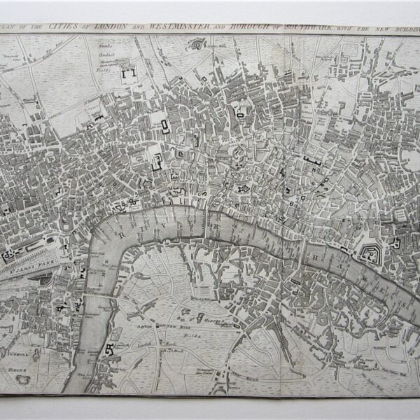
£400.00anon: A Plan of the Cities of London and Westminster, and Borough of Southwark, with the new Buildings – 1767.
-

 Quickview
£30.00
Quickview
£30.00Geographia Rambler’s Guide to Dorking and the Surrounding District – A foothpath guide with maps by A Son Of Surrey. (Fourth revised edition)

Reviews
There are no reviews yet.