

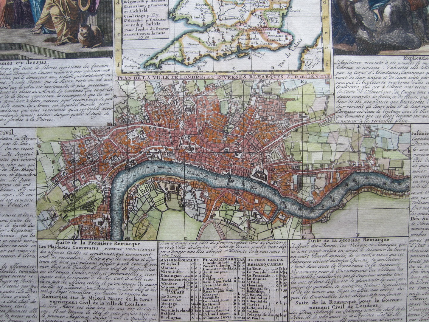
Nouvelle Carte du Gouvernement Civil, d’Angleterre et de celuy de la Ville de Londres. by Henri Abraham Chatelain (1684 – 1743)


London – Chatelain
£295.00
1 in stock
Description
Nouvelle Carte du Gouvernement Civil, d’Angleterre et de celuy de la Ville de Londres. by Henri Abraham Chatelain (1684 – 1743)
by H.A.Chatelain, from: Atlas Historique; Paris, 1721.
copper engraved map with old colouring; overall size 43,5 x 50 cm; plate size 35 x 46,5 cm.
Very interesting map showing England, a plan of London and 2 allegorical depictions, with explanatory text in French about the civil government in England.
The Chatelain family is best known for its Atlas Historique which was published from 1705 – 1739 under various Chatelain imprints. The atlas covered the entire world; each map was surrounded by a comprehensive text explaining customs, government etc.
Related products
-

 Quickview
-

 Quickview
-
 Quickview
£180.00
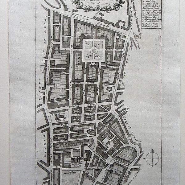
Stow, John (1525-1605)/ Strype, John (1643–1737): A Mapp of St. Anns… W.Innys and J.Richardson [et al] London 1754-55 copper engraved map; overall 42 x 25 cm; plate 31 x 18 cm. some foxing, staining and off-set; printer’s creases; o/w vg cond. First published in 1720, Strype’s re-issue appears as a […]
-
 Quickview
£115.00
Stow, John (1525-1605)/ Strype, John (1643–1737) A Mapp of Limestreet Ward… W.Innys and J.Richardson [et al] London 1754-55 copper engraved map; overall 42 x 25 cm; plate 31 x 18 cm. some foxing, staining and off-set; o/w vg cond. First published in 1720, Strype’s re-issue appears as a much larger […]

1 in stock
Reviews
There are no reviews yet.