

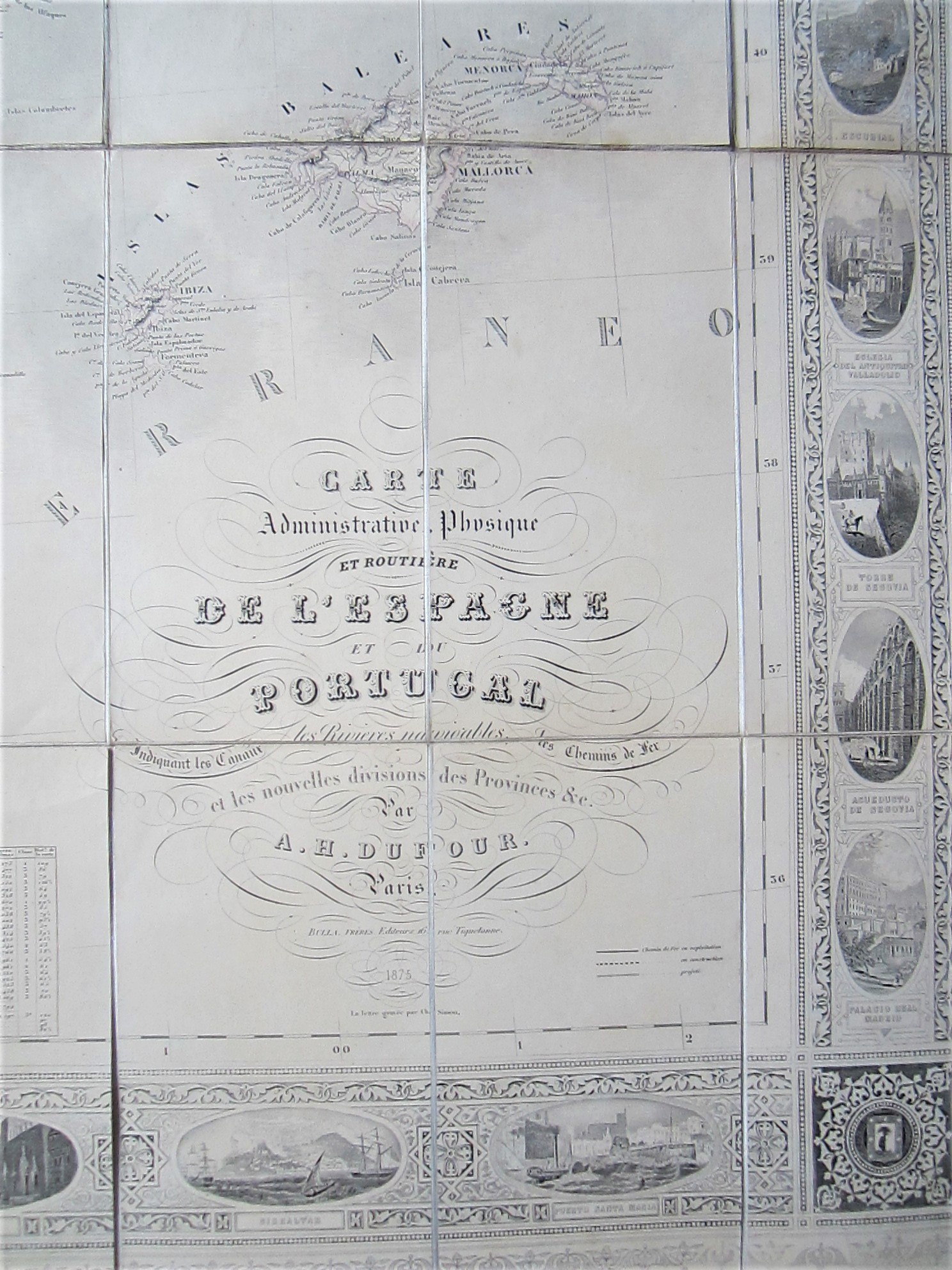
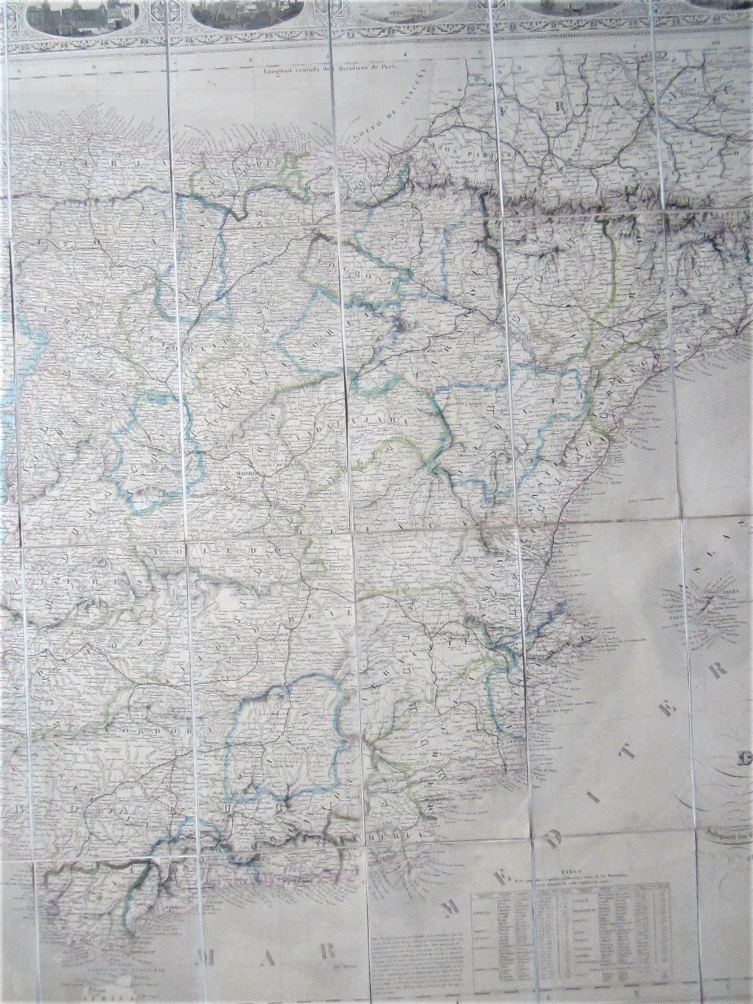
Dufour, Auguste Henri (1798-1865): Carte Administrative, Physique et Routiere de l’Espagne et du Portugal….par A.H.Dufour
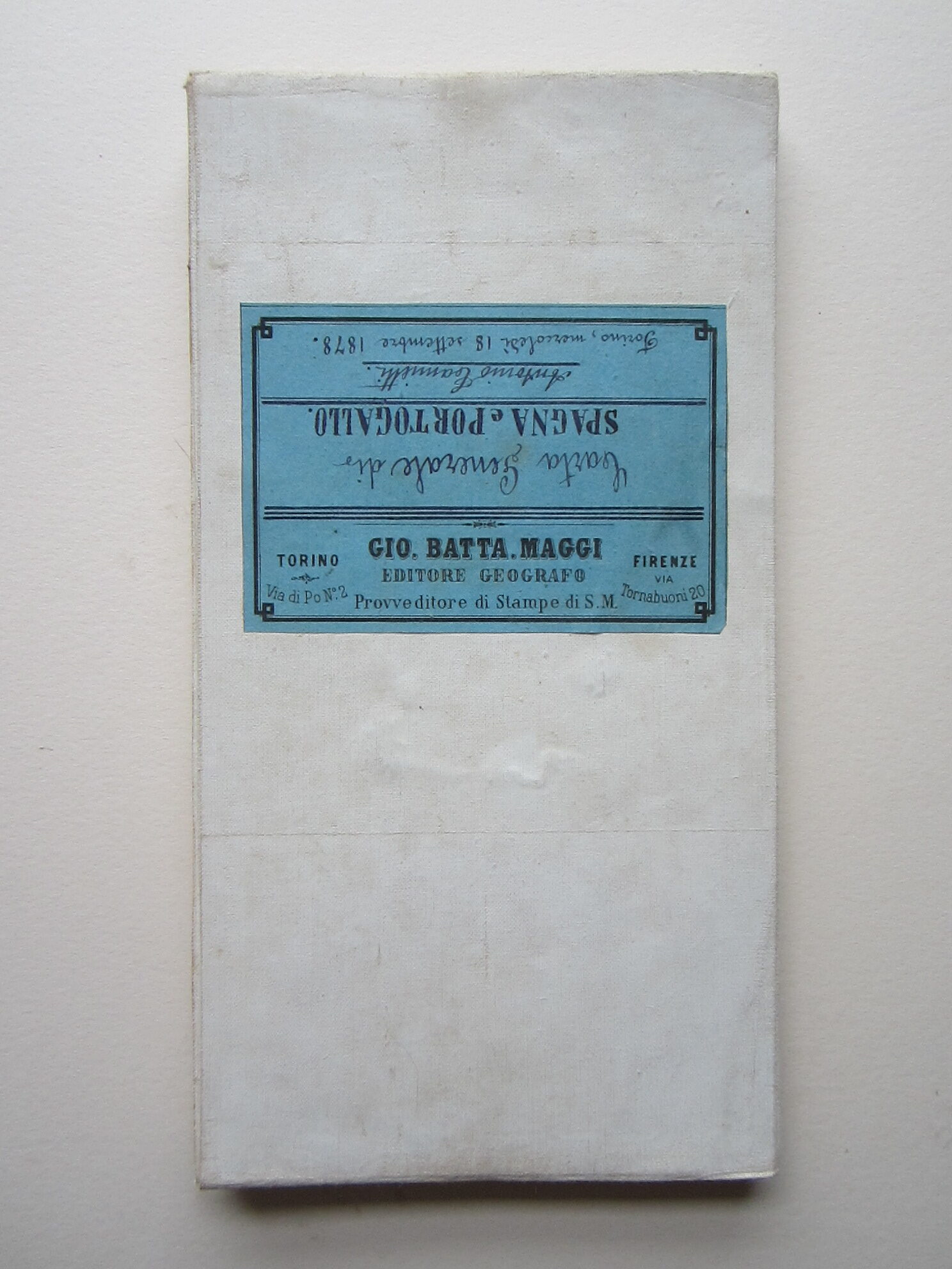


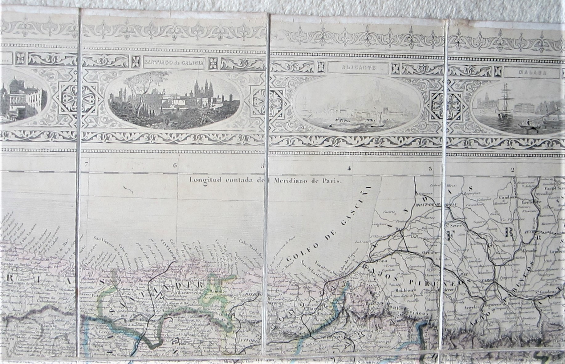


Spain – Portugal – folding map
£1,500.00
Description
Bulla, Freres Paris 1875
steel engraved map with original outline colouring; overall 98 x 130 cm; 40 segments on cloth; some discolouration; some segments slightly lifting off; in places faintly printed; o/w vg cond. No slipcase.
A very attractive folding map of Spain and Portugal with a decorative border, illustrated with 32 views of cities, monuments and important sites. In the four corners, the coat-of-arms of Spain, Portugal and their two capital cities. Except for the title, all place names are written in Spanish.
This is the fourth edition of this map which was first published in 1847.
[ref: 4515] £1,500Related products
-

 Quickview
-

 Quickview
-

 Quickview
-

 Quickview

Reviews
There are no reviews yet.