

London – St.James’ – Westminster – Strype/Stow


St.James’ – Westminster – Strype/Stow
£350.00
1 in stock
Description
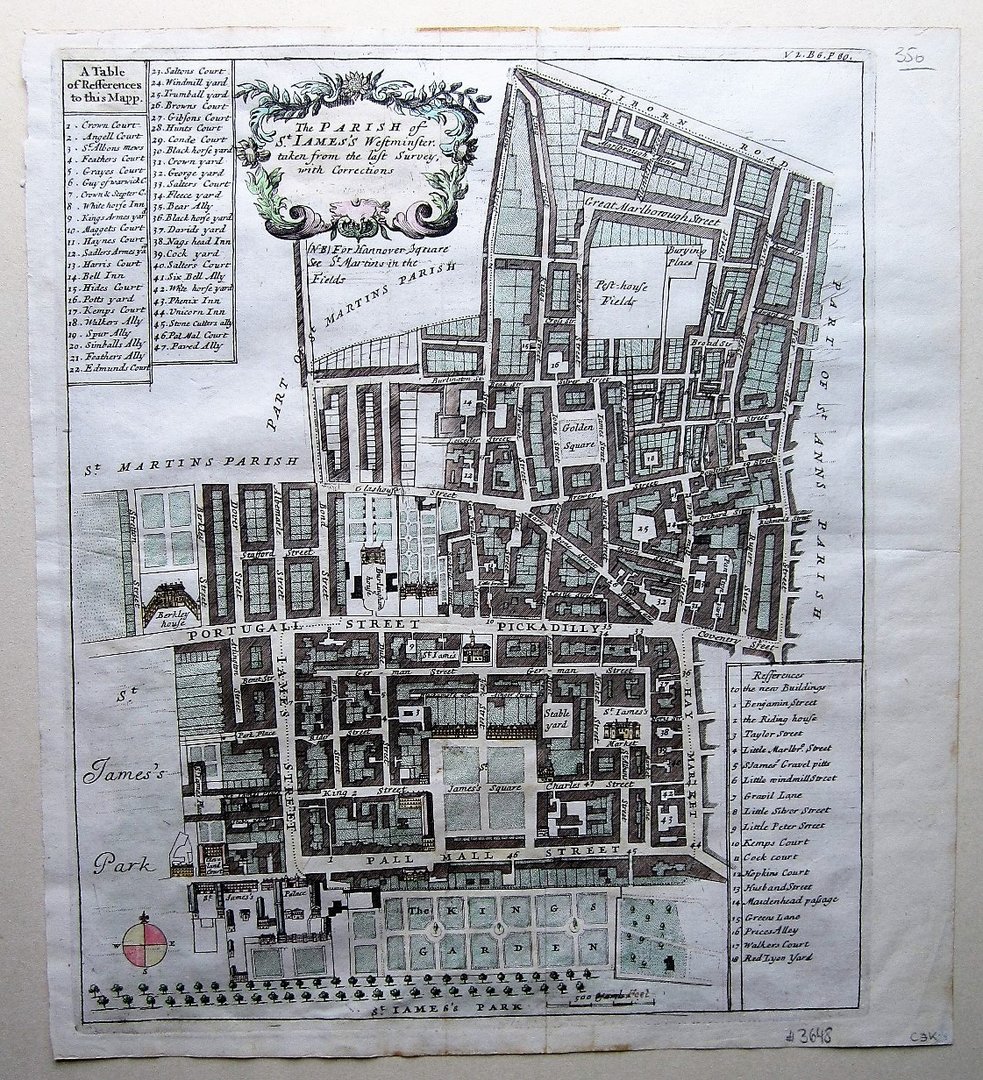
Strype, John: The Parish of St. Iames’s Westminster: taken from the last Survey, with corrections.
London c1720
copper engraved map, with old hand colouring, overall 38 x 34 cm, plate 36,5 x 30,5 cm. folds as issued, some holes and paper thinning in St.James’ Square, hand written annotation lower right (correcting ‘yards’ to ‘feet’), o/w vg cond.
A very detailed plan with a decorative cartouche of the area of St.James’, extending from Tiborn Street aka Oxford Street to Pall Mall, and Stretton Street to Wardour Street, with a table reference to either side of the map. From John Stow’s extensive ‘Survey of London’.
[ref: 3648]Related products
-
 Quickview
£90.00
Quickview
£90.00Stow, John (1525-1605)/ Strype, John (1643–1737): Walbrook Ward and Dowgate Ward … W.Innys and J.Richardson [et al] London 1754-55 copper engraved map; overall 42 x 25 cm; plate 31 x 18 cm. some foxing, staining and off-set; o/w vg cond. First published in 1720, Strype’s re-issue appears as a much […]
-
 Quickview
£180.00
Quickview
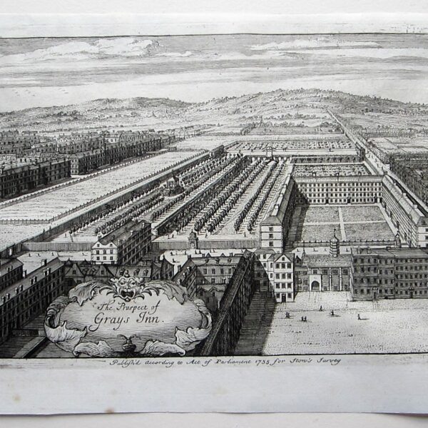
£180.00Stow, John (1525-1605)/ Strype, John (1643–1737): The Prospect of Grays Inn. W.Innys and J.Richardson [et al] London 1754-55 copper engraved print; overall 25 x 41 cm, plate 21 x 34 cm. some foxing, staining and off-set; paper imperfections; o/w vg cond. First published in 1720, Strype’s re-issue appears as a […]
-

 Quickview
-
 Quickview
£180.00
Quickview
£180.00Stow, John (1525-1605)/ Strype, John (1643–1737): St. Bartholomew’s Hopsitall in Smithfield. W.Innys and J.Richardson [et al] London 1754-55 copper engraved print; overall 25 x 41 cm, plate 21 x 34 cm. some foxing, staining and off-set; paper imperfections; o/w vg cond. First published in 1720, Strype’s re-issue appears as a […]
1 in stock
Reviews
There are no reviews yet.