

The New Illustrated Air Routes: Chart showing how World-Communications are shortened by aerial service.



World – Aerial Routes – Curiosity
£115.00
Description
Rare early World map of airship and aeroplane routes!
The New Illustrated London c1920s
printed map with red coloured lines; image 13 x 21 cm; paper 16,5 x 24 cm. paper edges slightly toned; some minor stains. Blank on verso.
A rare and early map of the aerial routes of Airships and Aeroplanes around World, published in the ‘New Illustrated’ magazine, c1920s. This is an updated version of a map from 1919 which was published shortly after the first fixed wing commercial flights took off from Britain and centres on London.
The routes are shown in red. At the bottom are descriptions of the various routes displayed: London to Australia by Airship; Round the World From London By Airship via India; London to India Via Aeroplane; London to Vancouver By Airship and Aeroplane; London to Cape Town by Aeroplane. In the top part of the map, there are two boxes with a title ‘Air Routes of the World…’ and one with Explanations.
[ref: 4153] £115Related products
-

 Quickview
-
 Quickview
£400.00
Quickview
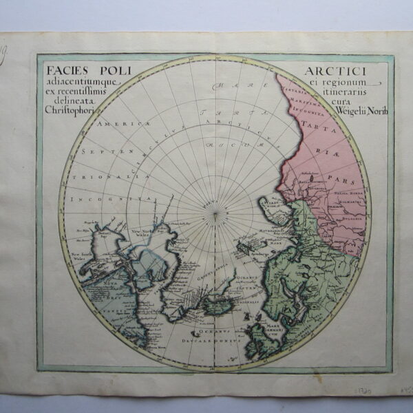
£400.00Weigel, Christoph the Elder (1654-1725): Facies Poli Arctici adiacentiumque ei regionum ex recentissimis itinerariis delineata cur Chrisophori Weigelii, Norib
-

 Quickview
£180.00
Quickview
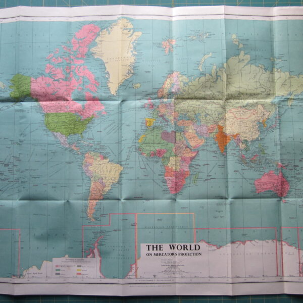
£180.00Philips’ Authentic Imperial Maps for Tourists & Travellers: Mercator World. by George Philip & Son Ltd.
-

 Quickview

Reviews
There are no reviews yet.