

Ordnance Survey Office n.t.



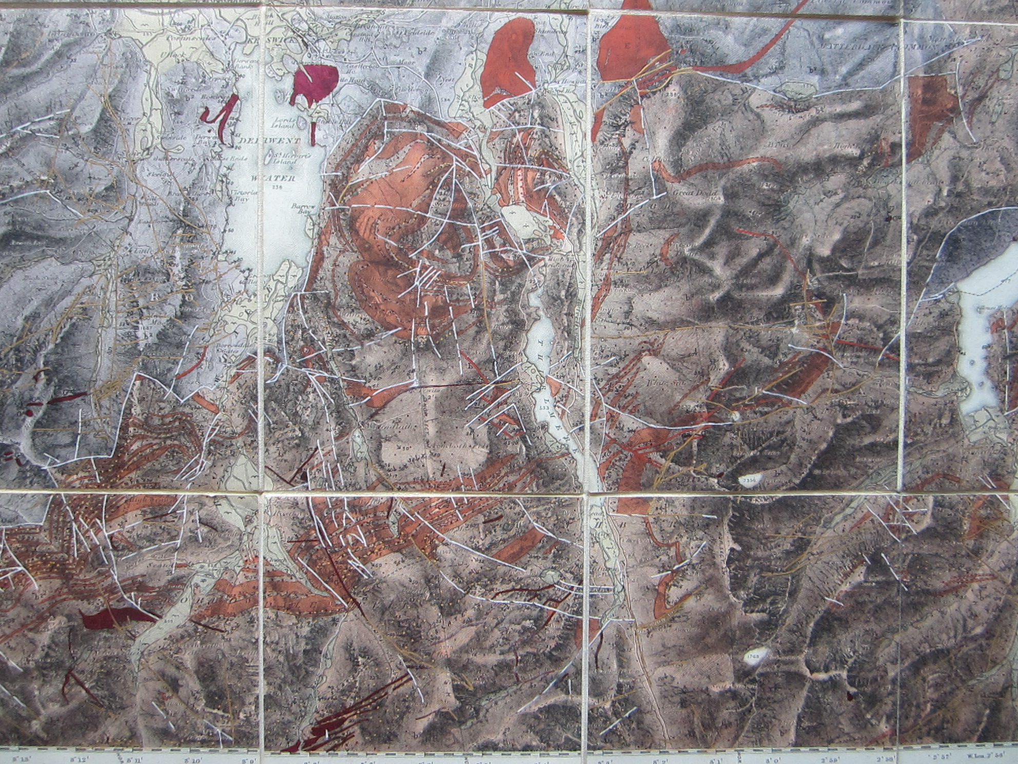
England – Cumberland – Lake District – Geological Map – Curiosity – Folding map
£125.00
Description
Ordnance Survey Office n.t.
Ordnance Survey Office 1875
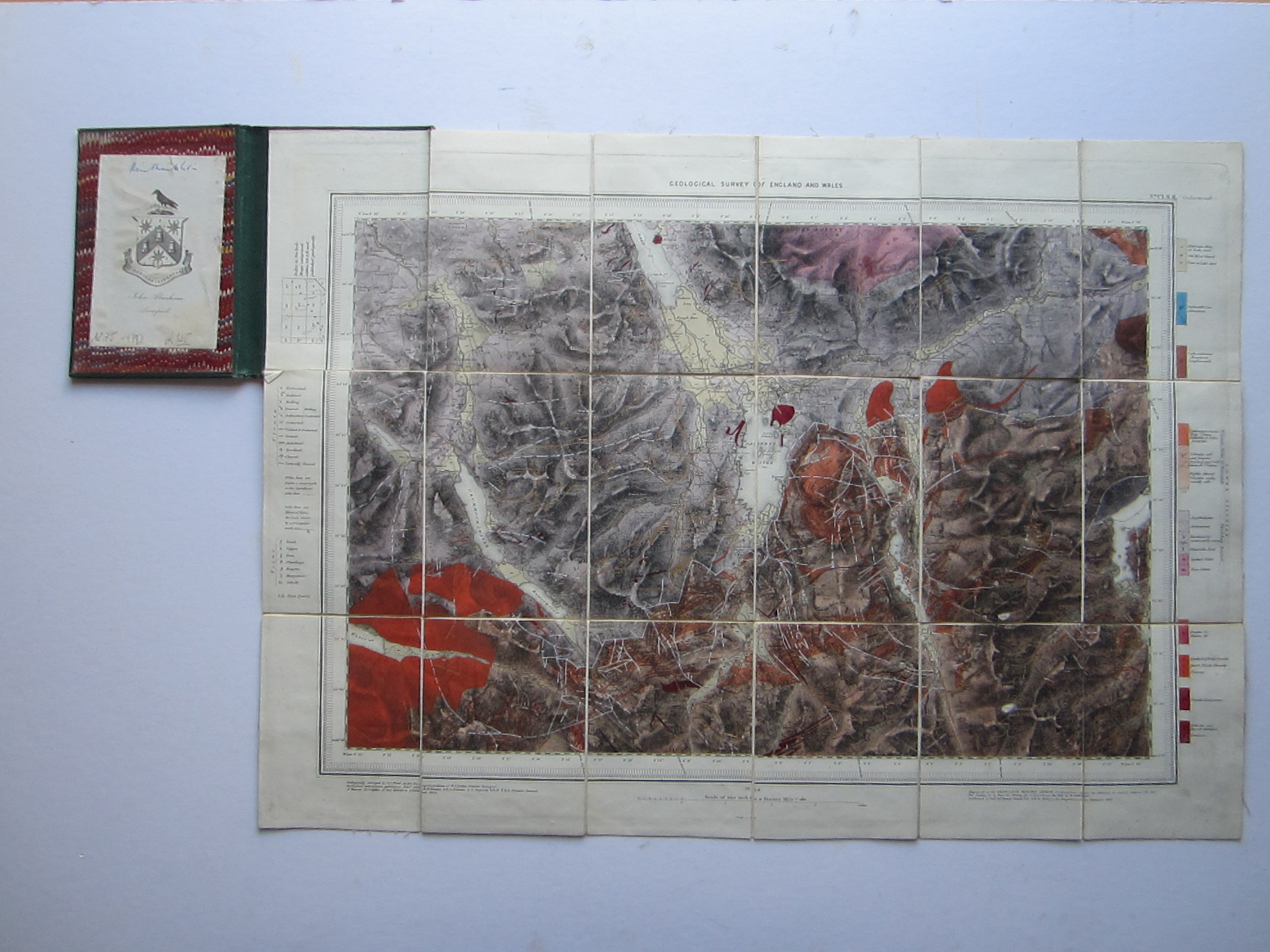
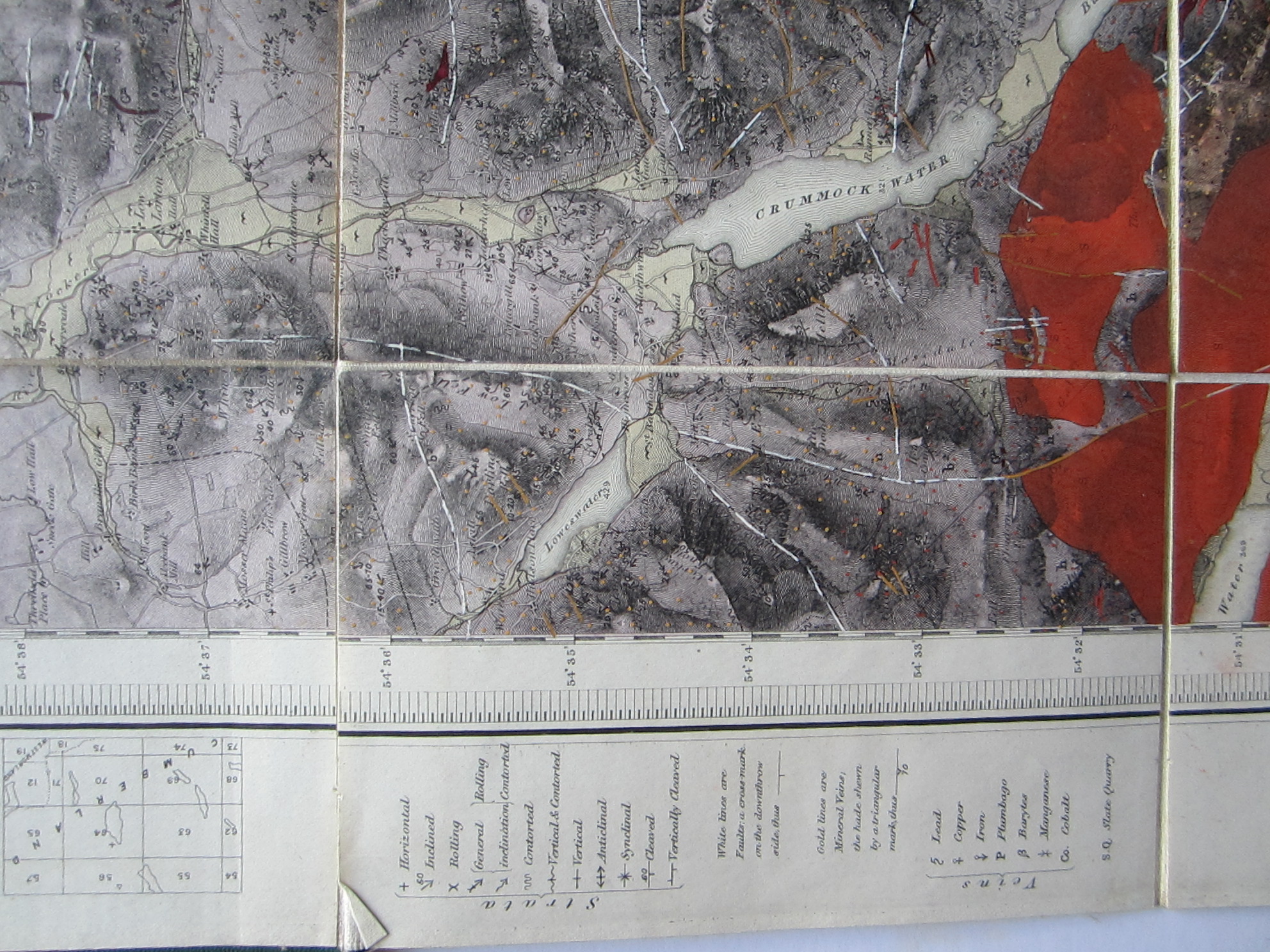
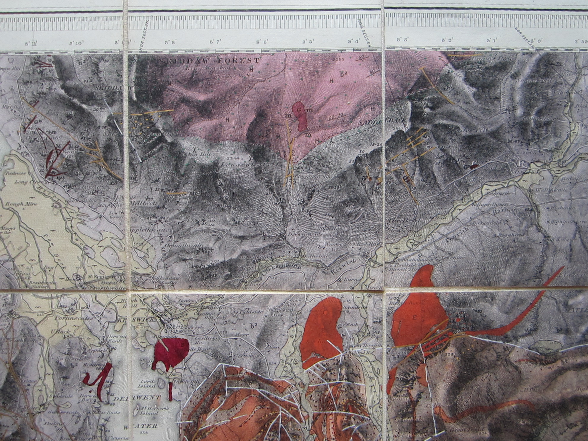
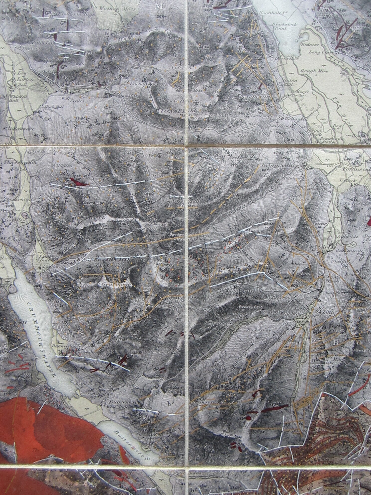
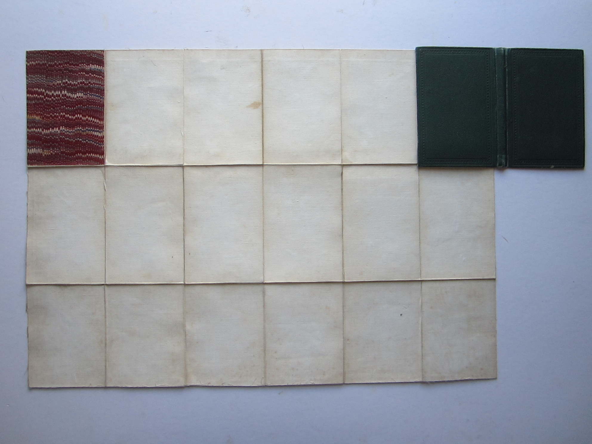
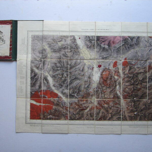
steel engraved folding map with partial original hand colouring; overall 40 x 57 cm, 18 sections; on cloth, some fabric fraying on the edges; paper slightly lifting off in some places; with hand drawn markings in red, orange, white and gold; o/w vg cond. green cloth cover, 15 x 10 cm, some wear and tear, inside book plate of John Abraham, with another ink hand written annotation.
A very interesting and highly decorative geological map of the Lake District, showing the various rock formation, with explanations on either side of the map.
[ref: 4792] £125Related products
-
 Quickview
-

 Quickview
-

 Out of Stock
Quickview
Out of Stock
Quickview
-

 Quickview
Reviews
There are no reviews yet.