

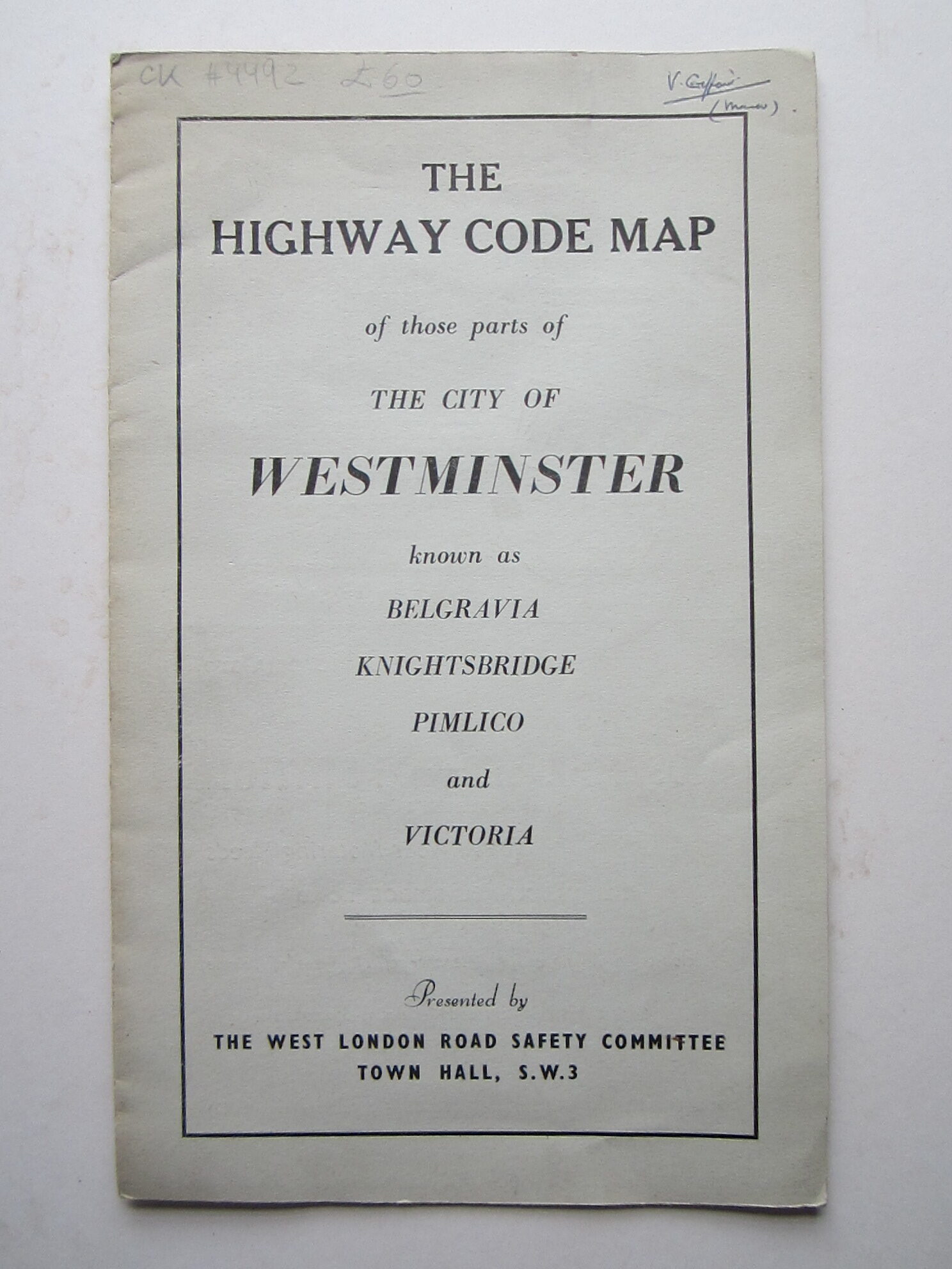
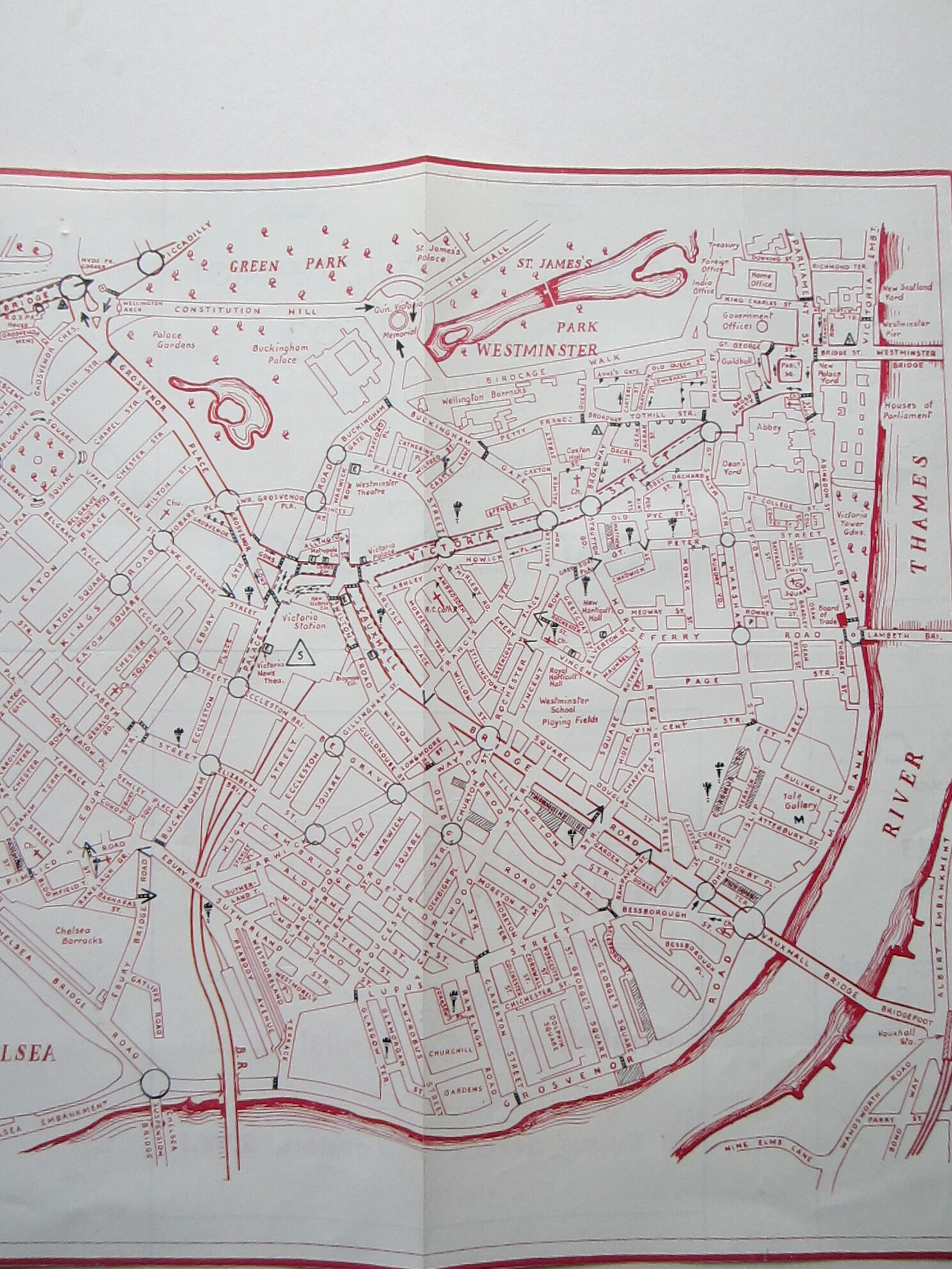
anon.: The Highway Code Map of those parts of the City of Westminster known as Belgravia, Knightsbridge, Pimlico and Victoria.




England – London – Highway Code Map – Cartographical Curiosity
£60.00
Description
London c1950s
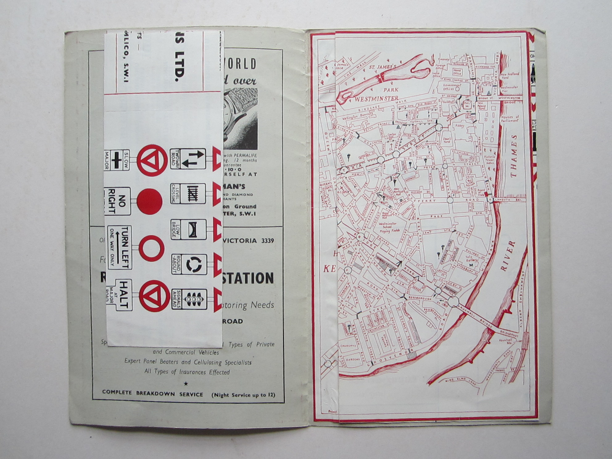
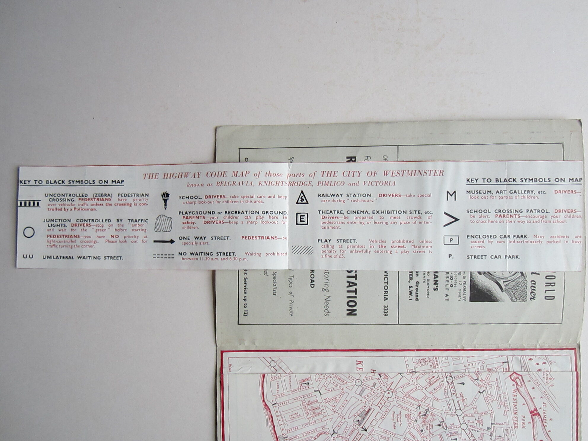
colour printed map. map over all 25 x 40 cm; booklet 26 x 16 cm. map tipped into booklet but shows folds that elude to a different way of representation. strip of paper with ‘Key of Black symbols’ pasted into booklet. booklet with some wear and tear, and hand written annotation top right hand corner. map with folds as issued initially. vg cond.
A very charming map showing various sites, traffic symbols and specifications. And not a single sign of the Congestion and ULEZ zone in sight!!!!
[ref: 4492] £60Related products
-

 Quickview
-

 Quickview
-

 Quickview
-

 Quickview

Reviews
There are no reviews yet.