

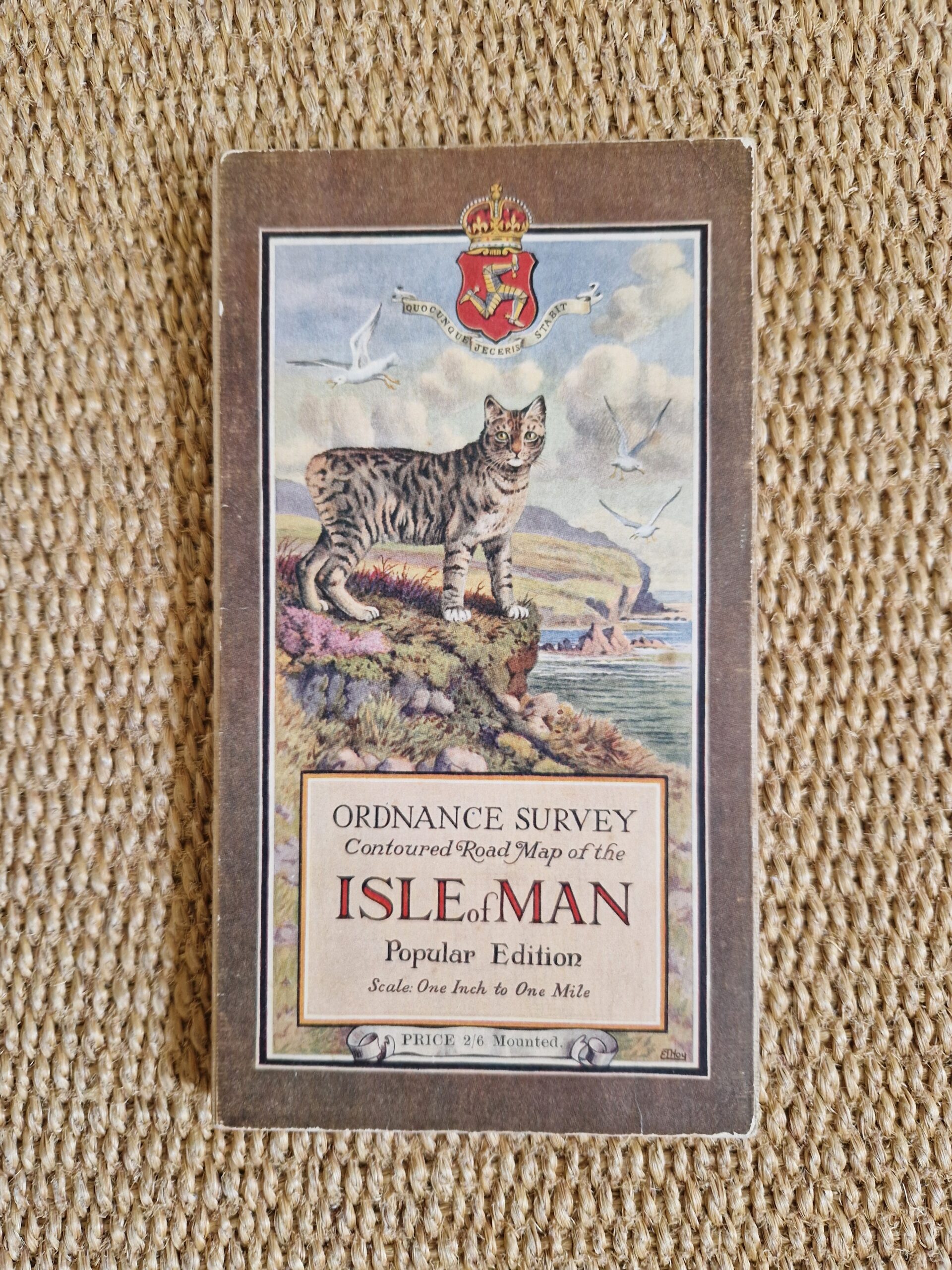
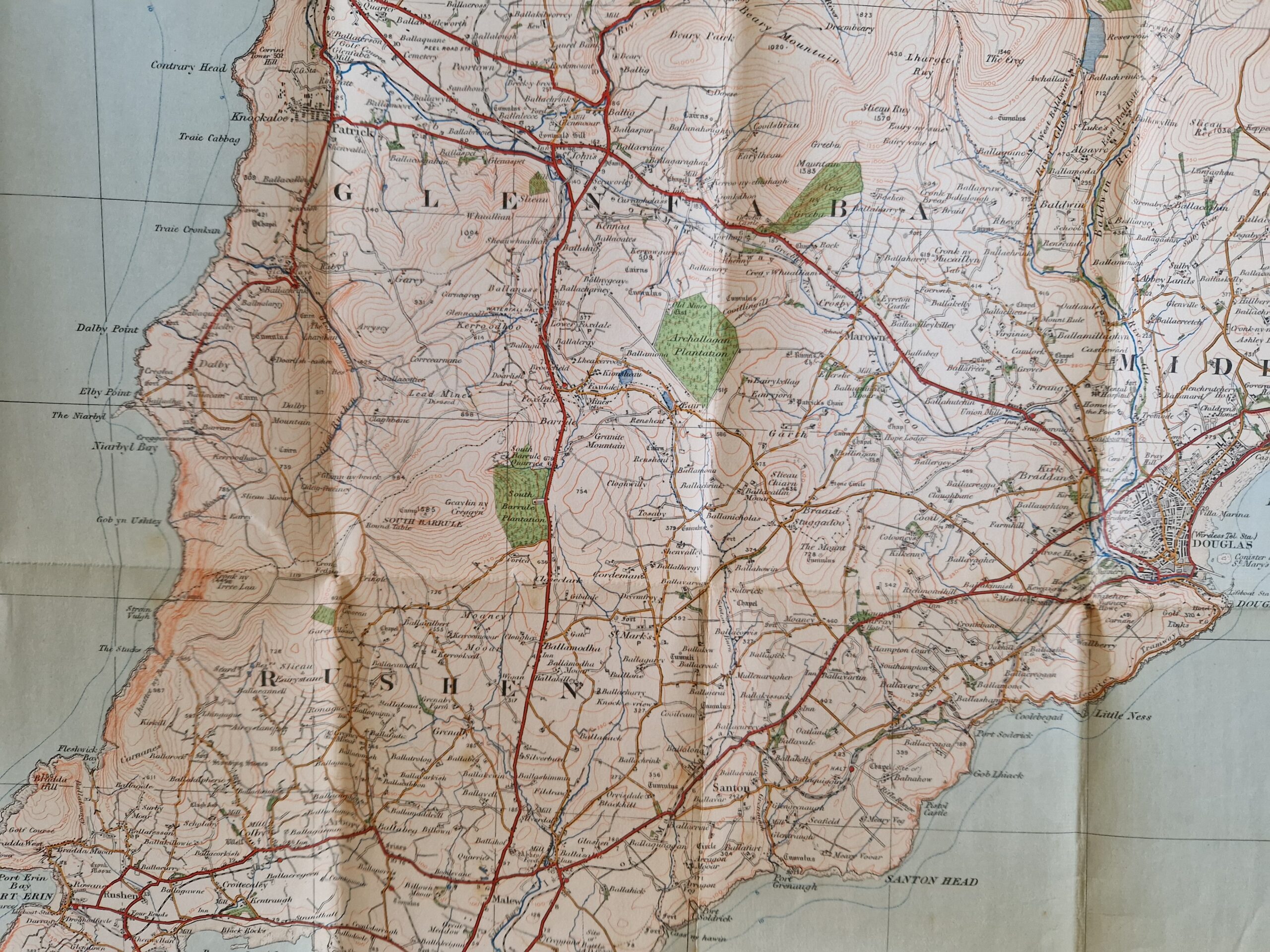
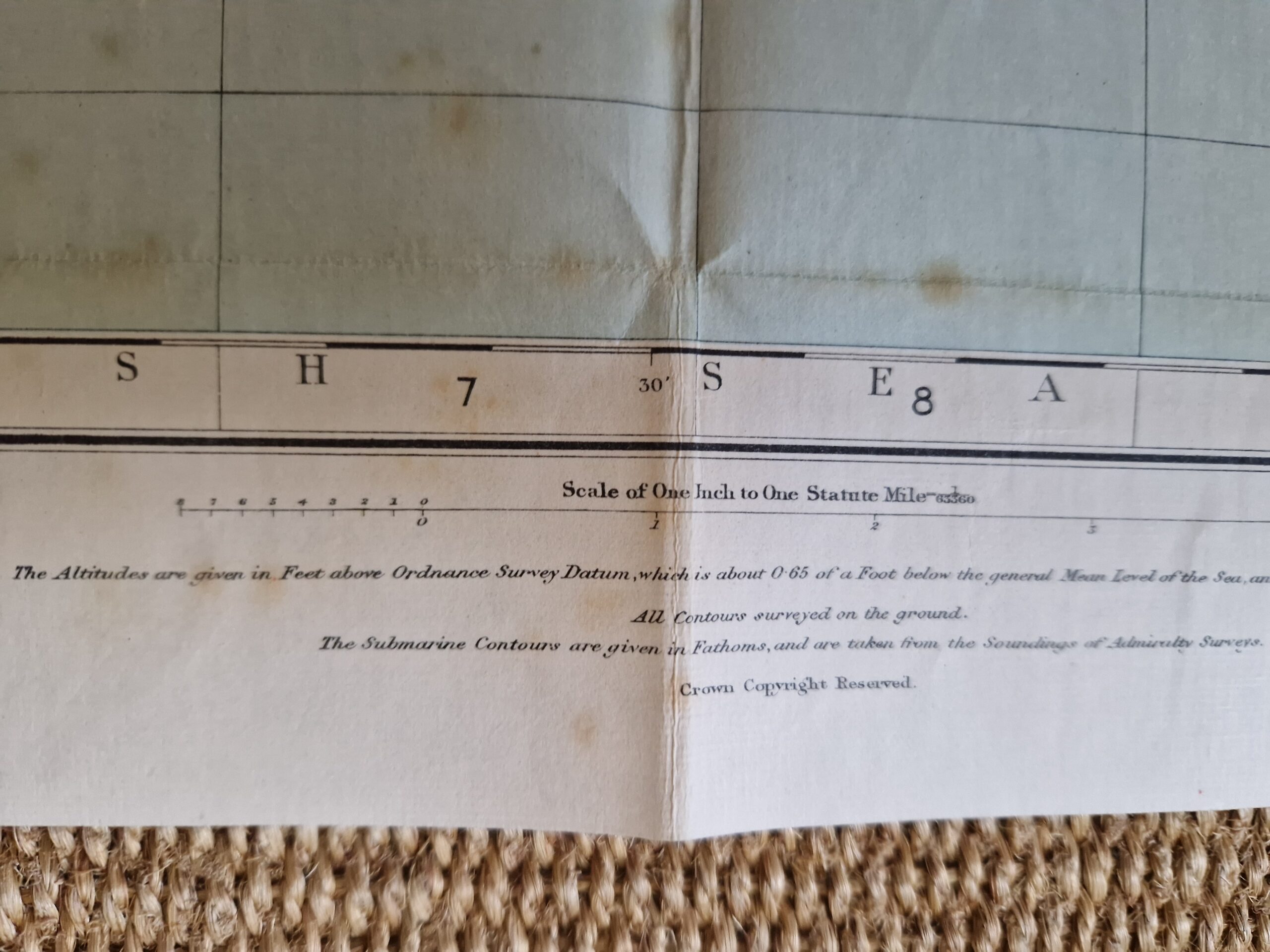
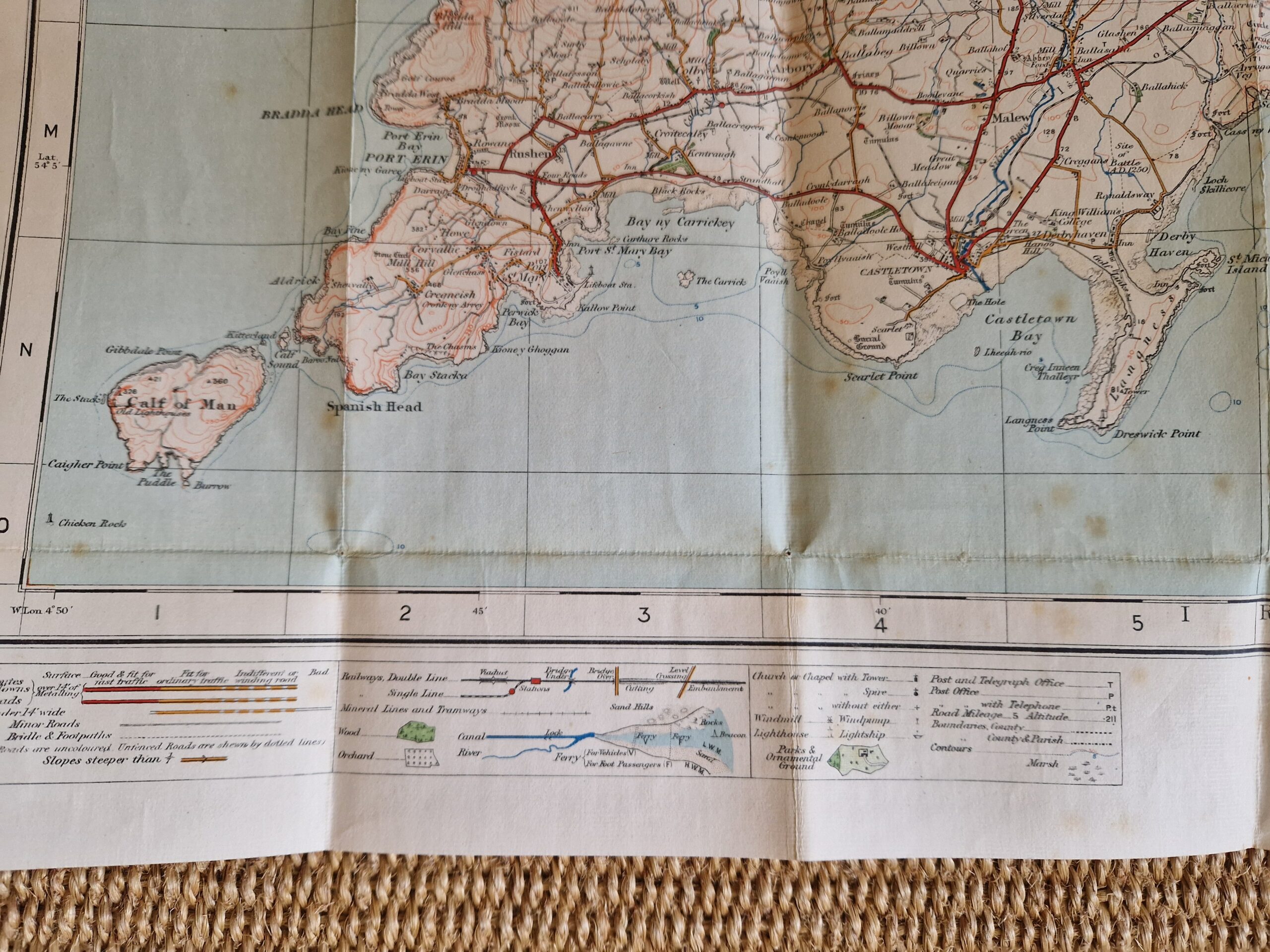
Ordnance Survey Ordnance Survey Contoured Road Map of the Isle of Man. Popular edition. Scale one Inch to One Mile.


GB – Isle of Man – Folding map
£65.00
Description
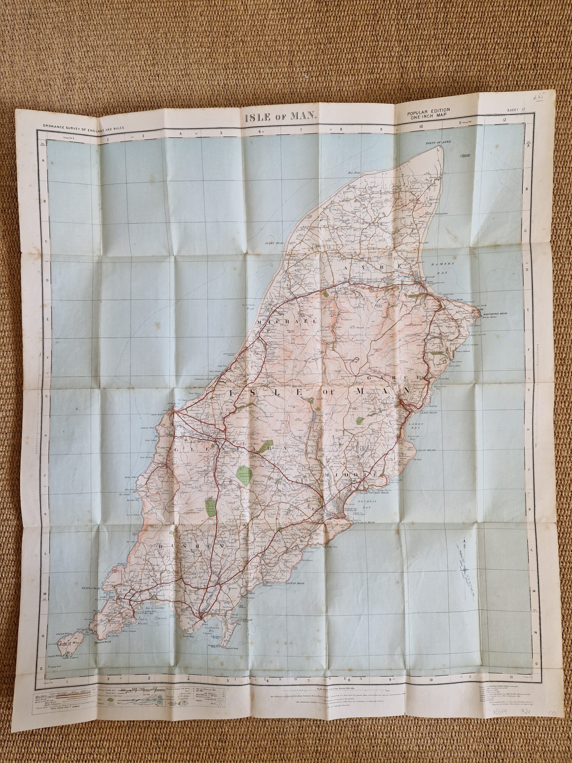
Ordnance Survey Ordnance Survey Contoured Road Map of the Isle of Man. Popular edition. Scale one Inch to One Mile.
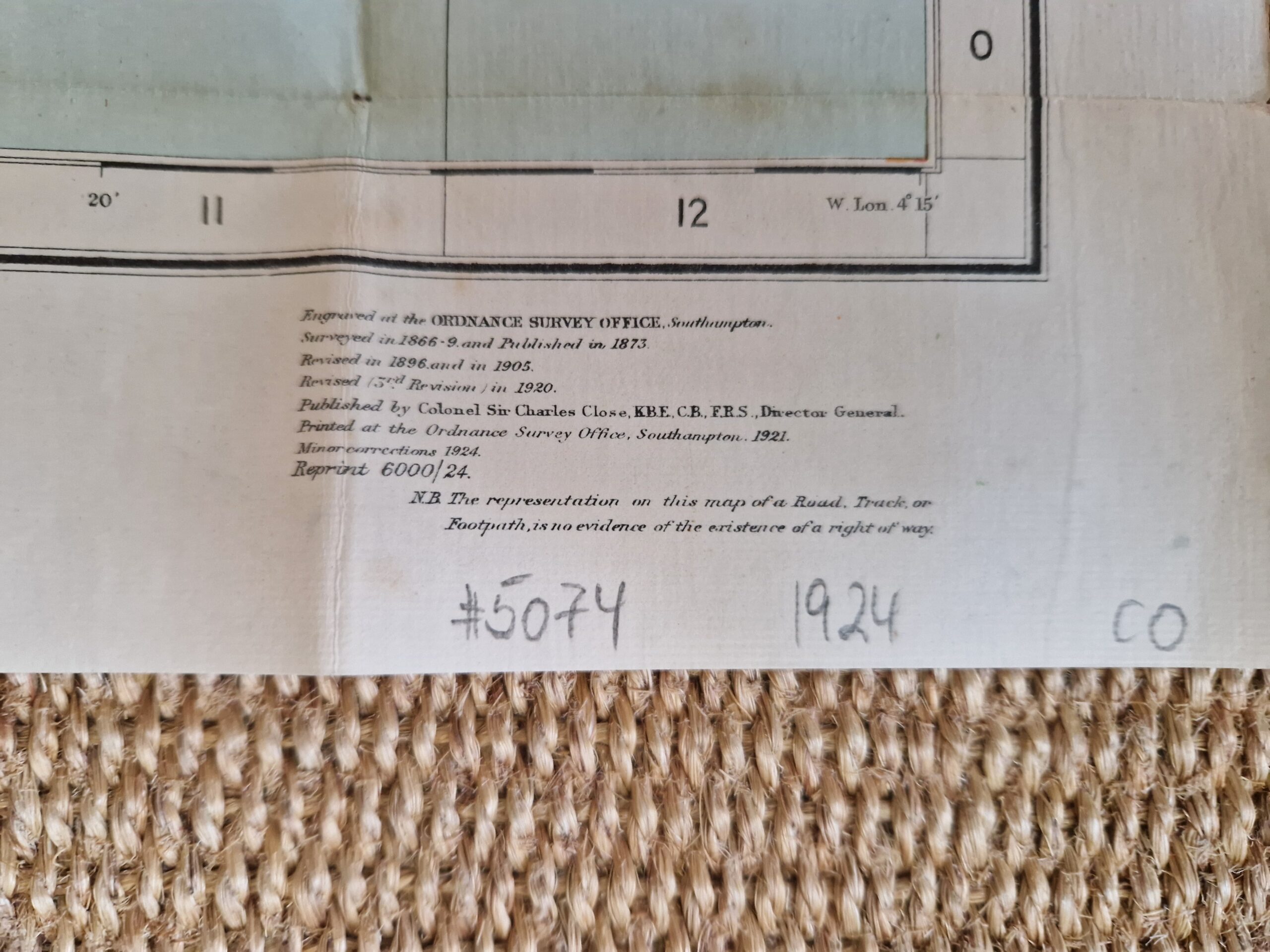
Col. Sir Charles Close; Ordnance Survey Office Southampton 1924
colour printed map; overall 76 x 68 cm, folds down to 17 x 9 cm. pasted onto fabric; folds as issued; some minor marginal tears and tears in crossfolds; some foxing; discolouration; o/w g cond. card board cover, some slight wear and tear; o/w g cond.
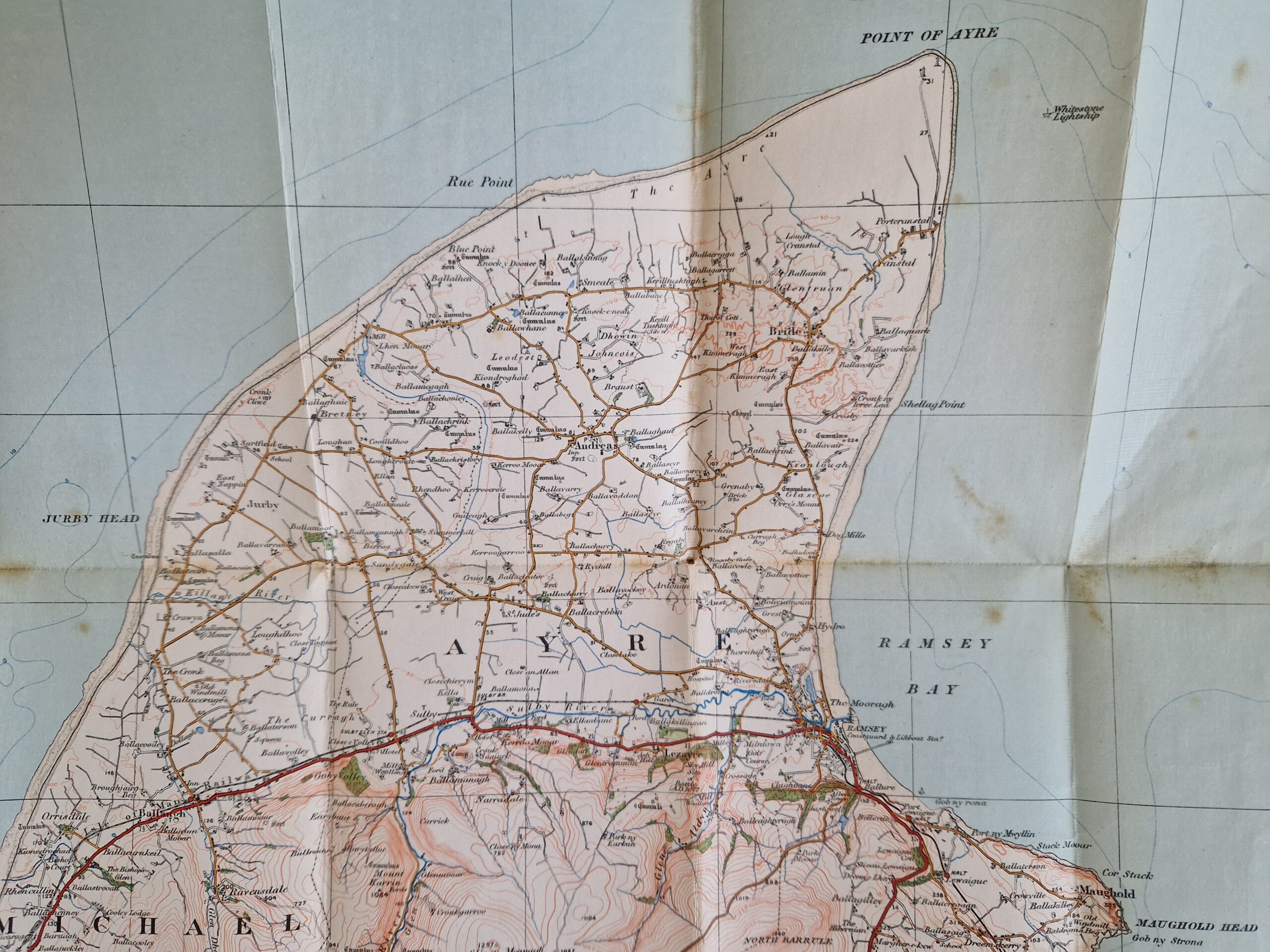
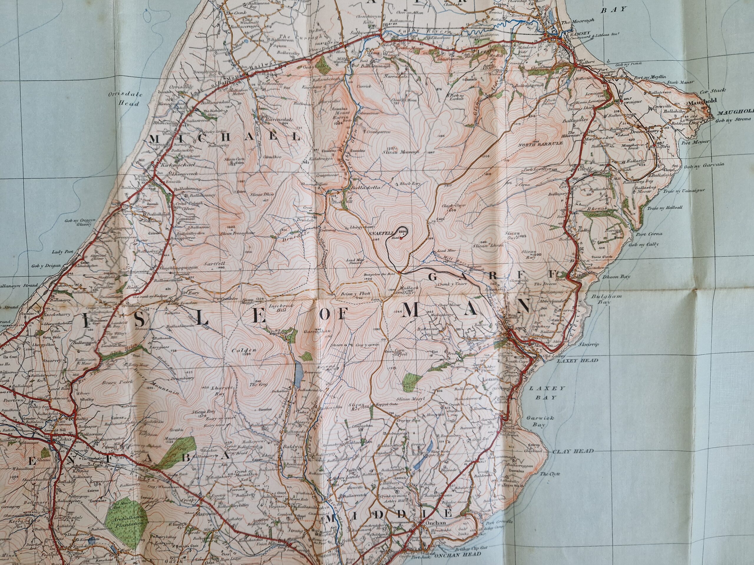
A very detailed map of the Isle of Man, showing cities, towns, roads and geological features. The cover shows a Manx cat, famous for not having a tail!
[ref: 5074] £65Related products
-

 Quickview
-

 Quickview
-

 Quickview
-
 Quickview

Reviews
There are no reviews yet.