

Great Britain and Ireland with ye Judges Circuits. by John Cary. (1755-1835)

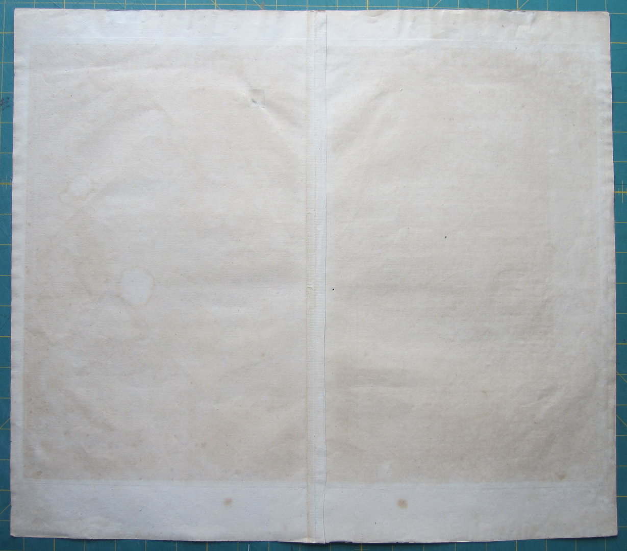


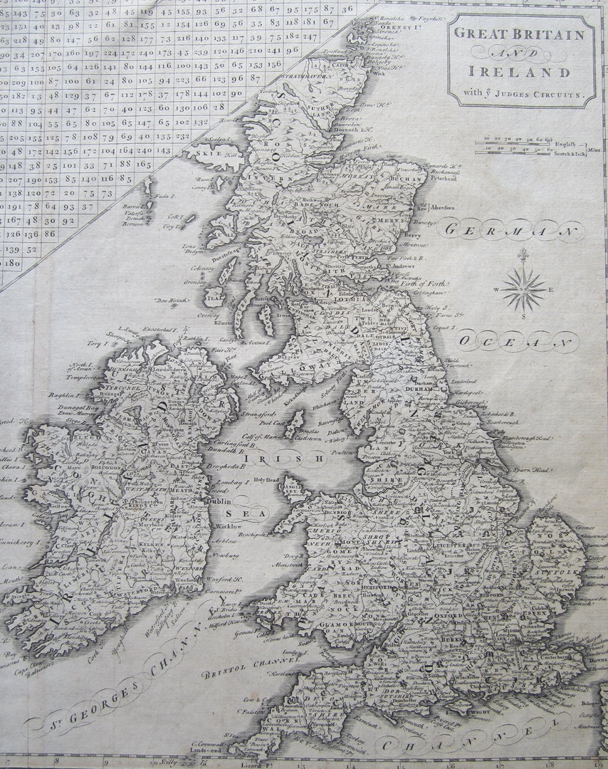

Great Britain – Judges’ Circuit – Cary
£180.00
1 in stock
Description
Great Britain and Ireland with ye Judges Circuits. by John Cary.
engraved by John Cary, for: New British Atlas, publ. by John Stockdale, London, 1805.
copper engraved map; plate size 36,5 x 48,5 cm. paper evenly toned with some foxing; fold as issued; some paper thinness and 2 small holes; some marginal tears not aff. image; top margin remnants of paper hinges; some discolouration around image due to previous mount/frame; o/w vg cond.
This map shows ‘The Distances of the Cities & Shire Towns in England and Wales’ as an aide for judges, travelling the country’s courthouses. With an inset of the Shetland Islands and the Hebrides; pagination in top right corner: to face Vol. I. p. CXLVIII.
John Cary (1755-1835) was an English map and globe maker, engraver and publisher.
Related products
-

 Quickview
£250.00
Quickview
£250.00Tindal/ Rapin: Plan of the Town and Fortifications of Gibraltar, exactly taken on the Spot in the Year 1738.
-

 Quickview
-

 Quickview
£450.00
Quickview
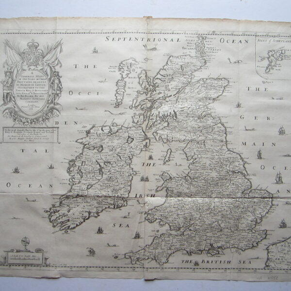
£450.00Blome, Richard (1641-1705) A Generall Mapp of the Isles of Great Brittaine, designed…..
-

 Quickview
£125.00
Quickview
£125.00A Map for the Beautiful Game!
Bartholomew, John Bartholomew Football History Map of England and Wales

1 in stock
Reviews
There are no reviews yet.