

An attractive folding map of London.


London – Laurie & Whittle
£550.00
1 in stock
Description
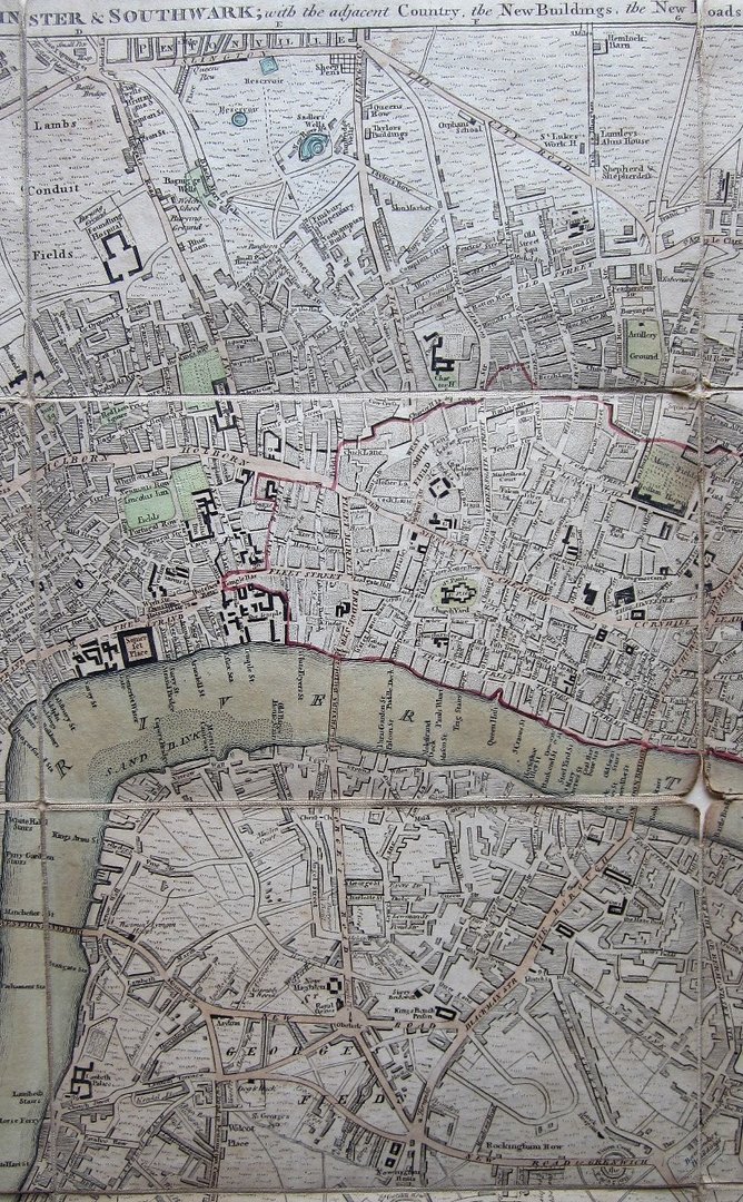
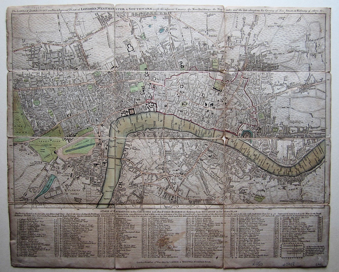
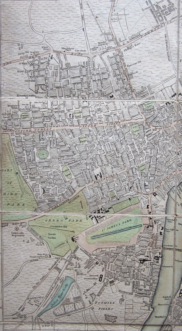
Laurie & Whittle: The London Directory or a New & Improved Plan of London, Westminster & Southwark, with the adjacent Country, the New Buildings, the New Roads and late alterations by Opening of New Streets & Widening of Others &c
Laurie & Whittle London 1800
copper engraved map with original colouring, on 12 section, pasted on linen. overall 42cm x 51.5cm. some wear and tear; some tears in the folds; some paperloss in crossfolds; some discolouration and staining; some repair to verso with conservation paper tape; o/w g cond.
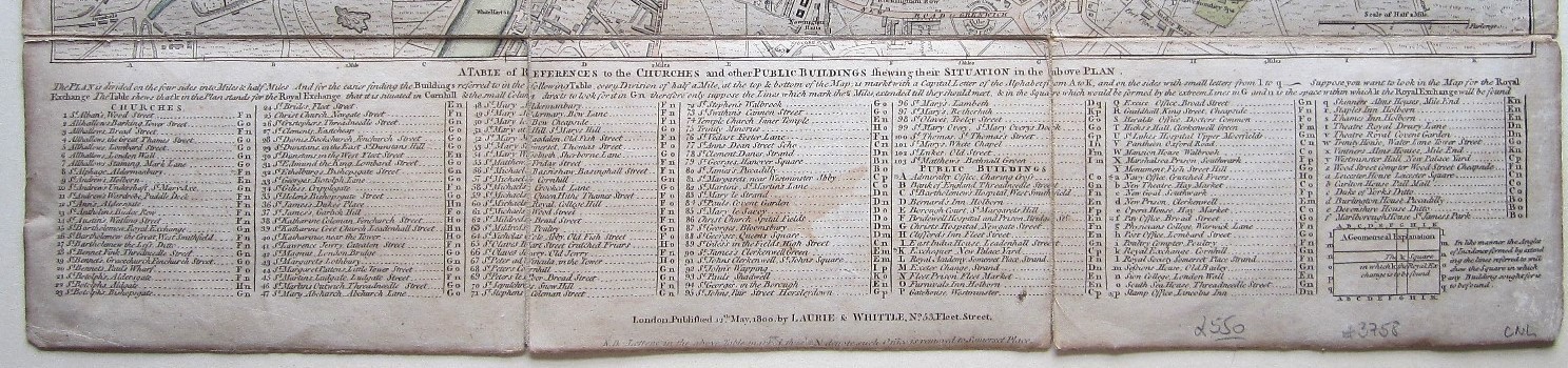
This interesting map of London which is based on Sayer’s plan, was published by Laurie and Whittle in 1800. The map centers on the River Thames and covers the area from Pentonville to Newington Butts, and from Hyde Park to Shadwell. In the lower part of the map is a legend with ‘A Table of References to the Churches and other Public Buildings shewing their Situation in the above Plan.’ . Only three of the London bridges are shown: Westminster, Blackfriars and London Bridge. An area, high-lightened in red, shows the part of the City that was destroyed during the Great Fire of 1666.
who
Robert Laurie (1755-1836) was an apprentice to Robert Sayer in 1770 and he took over the business in 1794 together with James Whittle (1757-1818) was an apprentice of the Needlemaker’s Guild. Together they formed a partnership which lasted until Laurie’s retirement in 1812 when his son, Richard Holmes Laurie, took his father’s place and continued to work with Whittle until his death in 1818. The company was founded on Sayer’s old stock of prinitng plates for maps, prints and atlases.
For comparison, please see Howgego (London) #138, 219 and 223.
[ref: 3758] £550
Related products
-
 Quickview
-

 Quickview
£295.00
Quickview
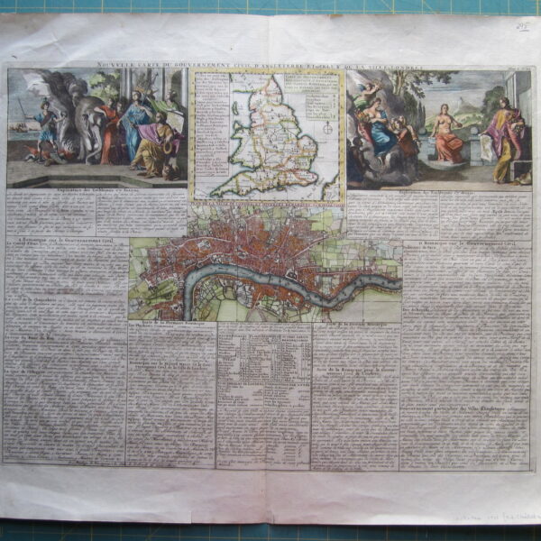
£295.00Nouvelle Carte du Gouvernement Civil, d’Angleterre et de celuy de la Ville de Londres. by Henri Abraham Chatelain (1684 – 1743)
-
 Quickview
£180.00
Quickview
£180.00Stow, John (1525-1605)/ Strype, John (1643–1737): Breadstreet Ward and Cordwainer Ward… W.Innys and J.Richardson [et al] London 1754-55 copper engraved map; overall 42 x 25 cm; plate 31 x 18 cm. some foxing, staining and off-set; o/w vg cond. First published in 1720, Strype’s re-issue appears as a much larger […]
-
 Quickview
£90.00
Quickview
£90.00Stow, John (1525-1605)/ Strype, John (1643–1737): Queen Hith Ward and Vintry Ward…. W.Innys and J.Richardson [et al] London 1754-55 copper engraved map; overall 42 x 25 cm; plate 31 x 18 cm. some foxing, staining and off-set; o/w vg cond. First published in 1720, Strype’s re-issue appears as a much […]

1 in stock
Reviews
There are no reviews yet.