

Macdonald Gill London 1928 – Country Bus Routes





London – Railways – Pictorial map – folding map – Reprint
£275.00
Description
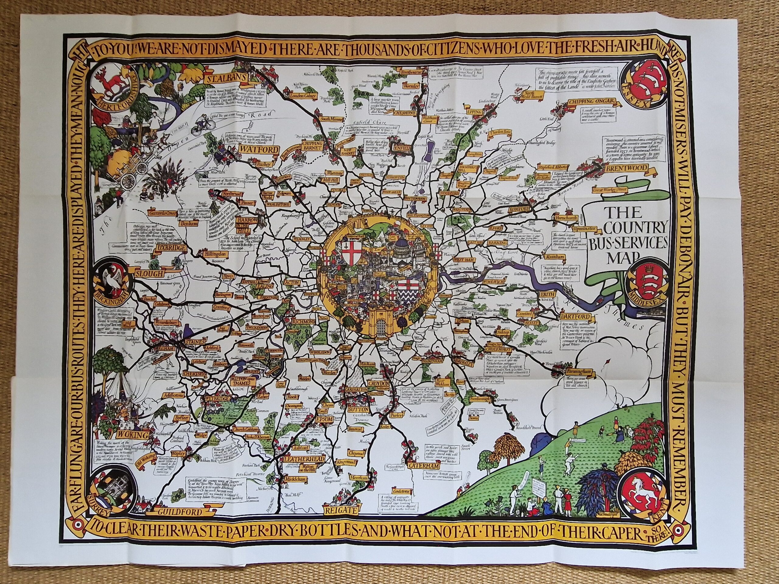
Macdonald Gill London 1928 – Country Bus Routes
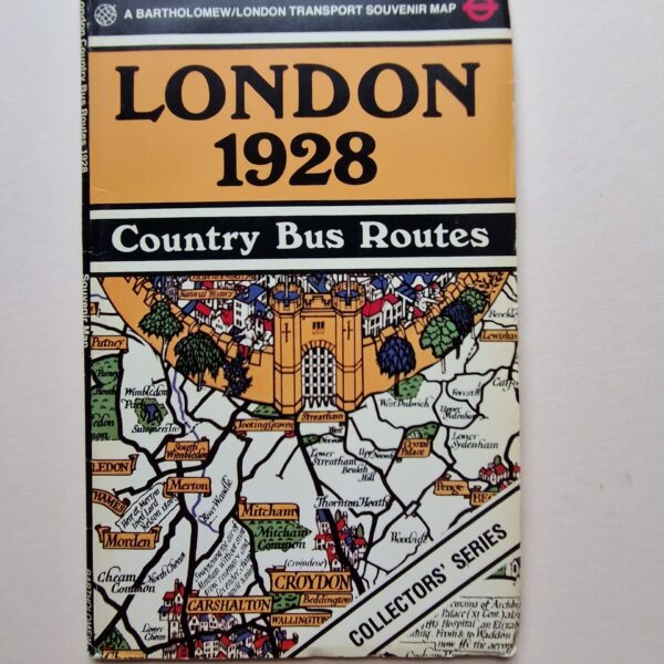
Bartholomew/ London Transport London 1978
colour printed pictorial folding map; overall 76 x 101 cm, folds down to 26 x 16 cm; glossy card cover. cover some wear and tear; map exc. cond.
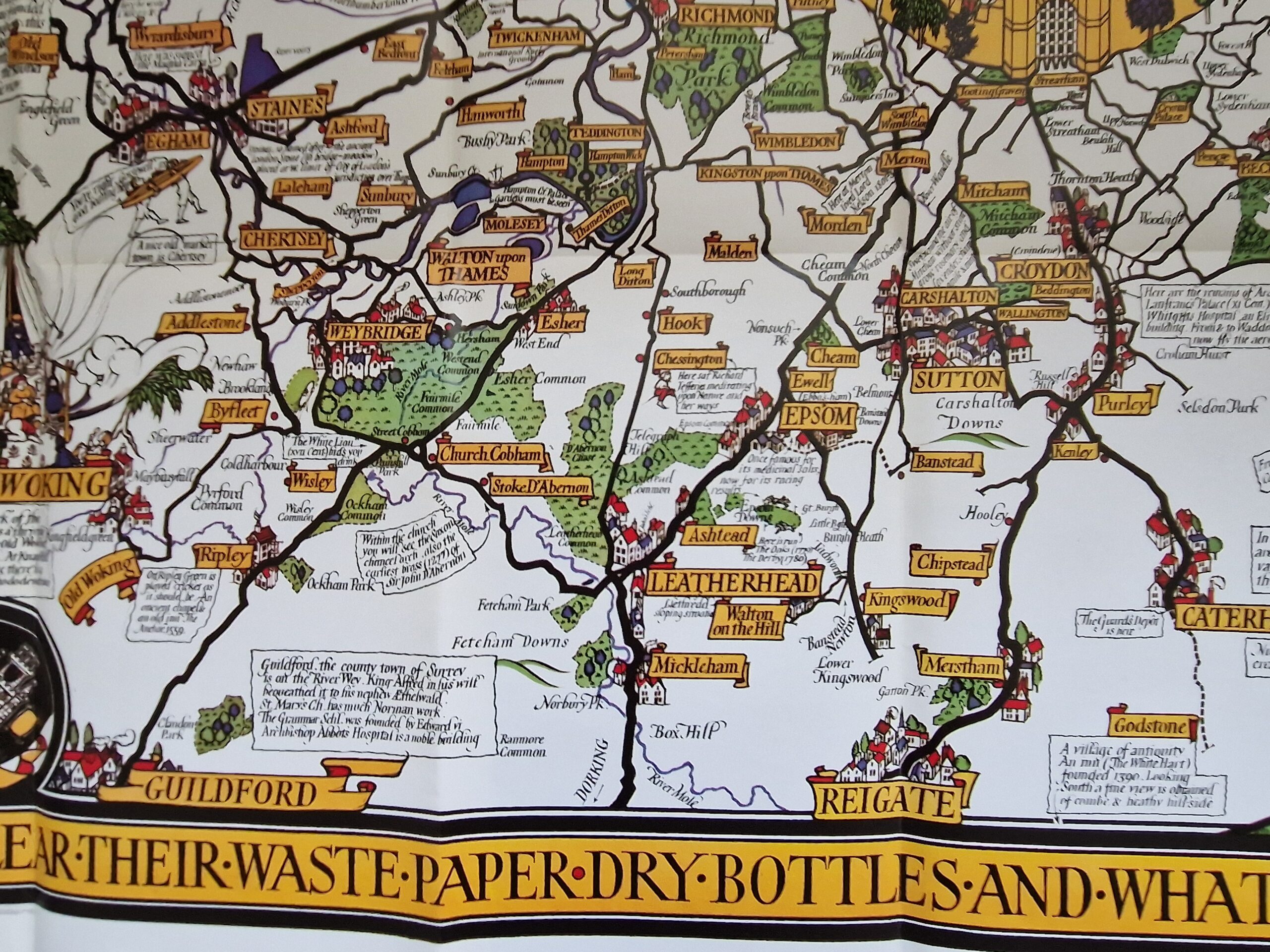
A highly decorative pictorial map of the Country Bus Routes in and out of London: from St. Albans, Hertfordshire to Reigate, Surrey, and Slough, Buckinghamshire to Dartford, Kent. The map is embellished with humourous scenes, the Counties’ coat-of-arms and a very decorative scene of London. Plenty of annotations along the routes, explaining historical facts and memorable sites.
Please note that this is a facsimile of the original map printed in 1928!
[ref: 4928] £275Related products
-

 Quickview
-

 Quickview
-

 Quickview
-

 Quickview
Reviews
There are no reviews yet.